Old Maps of Natchez, Louisiana for Academic Research
Study the evolution of Natchez with 13 high-resolution historic maps. Whether you're teaching, researching, or modeling changes in land use, these maps provide essential visual documentation of urban, environmental, and geographic change.
- Analyze long-term change: Track patterns in development, transportation, and natural features.
- Ideal for environmental or urban studies: Support academic projects with primary historical map data.
- Use in the classroom or lab: Educators and researchers rely on these maps to bring historical context to life.
These maps are a powerful tool for teaching, research, and visualizing how Natchez has changed over the decades.
Natchez, LA maps
(13)- 1937 Map of Bermuda
 1937 Bermuda1937 Print · USGSNatchitoches Parish comes alive in the late 1930s as a landscape of river-bend settlements and bayou-side farms. Genealogists and local historians can trace family roots through sites like Lee Cem, Old River Ch, and the Rockford Sch.
 - 1943 Map of Provencal, 1954 Print
 1943 Provencal1954 Print · USGSNatchitoches Parish during the early 1940s reveals a landscape defined by the winding Red River and the Texas and Pacific RR. Genealogists can trace rural roots through landmarks like Friendship Cem, St Marks Ch, and the community at Bermuda.
 - 1945 Map of Provencal
 1945 Provencal1945 Print · USGSNatchitoches Parish during the mid-1940s is defined by its complex network of waterways and the Texas and Pacific RR. Researchers can locate rural landmarks like Rockford Sch, Beasley Crossing, and the Bayou Gorum Post Office.
 - 1953 Map of Alexandria, 1963 Print
 1953 Alexandria1963 Print · USGSCentral Louisiana during the early fifties is mapped here at the intersection of the piney woods and the Red River valley. Genealogists and historians can trace the rail-and-river network connecting towns like Alexandria, Natchitoches, and the grounds of Camp Beauregard.3 unique versions available
 - 1955 Map of Alexandria
 1955 Alexandria1955 Print · USGSCentral Louisiana in the mid-fifties is a landscape of river-port cities, sprawling timberlands, and massive military reservations. Genealogists and historians can trace the rail networks of the Texas & Pacific RR and locate sites like Camp Polk Military Reservation and Natchitoches.
 - 1957 Map of Provencal, 1958 Print
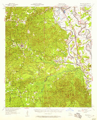 1957 Provencal1958 Print · USGSThe Natchitoches Parish countryside during the late fifties reveals a landscape defined by the Cane River Lake and the Kisatchie National Forest. Researchers can trace the Texas and Pacific rail line through rural hubs like Provencal and Flora (Weaver Sta).2 unique versions available
 - 1983 Map of Natchitoches South, 1984 Print
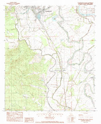 1983 Natchitoches South1984 Print · USGSThe riverfront communities south of Natchitoches are captured here in the early eighties as they follow the winding course of Cane River Lake. Genealogists and researchers can trace family-named sites like Camel Cem, Lee Cem, and several parish churches including St Anne Ch.2 unique versions available
 - 1986 Map of Natchitoches
 1986 Natchitoches1986 Print · USGSNorthwestern Louisiana during the mid-eighties shows a landscape shaped by major water projects and timberlands. Researchers can trace historic routes like the Old Spanish Trail or locate rural communities such as Fort Jesup, Fairview Alpha, and Grappes Bluff.2 unique versions available
 - 2012 Map of Natchitoches South, 2012 Print
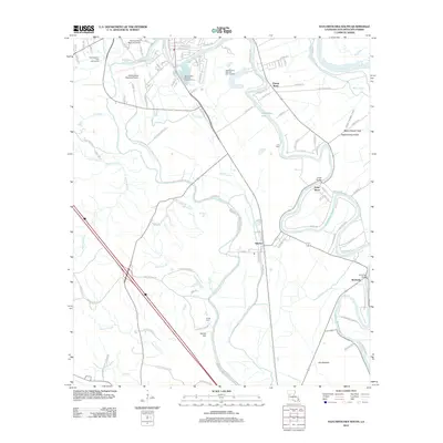 2012 Natchitoches South2012 Print · USGSNatchitoches Parish in the early 2010s shows a landscape of university grounds, regional transit hubs, and rural bayou settlements. Researchers can trace the banks of Cane River Lake through Vienna Bend and Isle Brevelle or locate family sites at Camel Cem and Lee Cem.
 - 2015 Map of Natchitoches South, 2015 Print
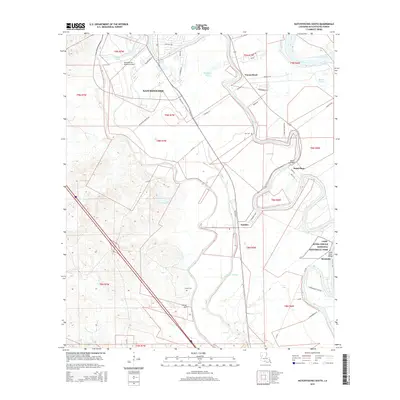 2015 Natchitoches South2015 Print · USGSNatchitoches Parish comes into focus in this modern survey of the Red River valley and its historic Creole landscapes. Researchers can trace family sites near Lee Cem and Camel Cem, or explore the grounds of the Cane River Creole National Historical Park.
 - 2018 Map of Natchitoches South, 2018 Print
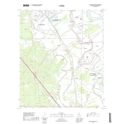 2018 Natchitoches South2018 Print · USGSLouisiana's oldest permanent settlement and its river country are shown here in the 2010s, where the Red River meets a network of historic bayous. Genealogists and researchers can locate Lee Cem, the small community of Bermuda, and the Cane River Creole National Historical Park.
 - 2020 Map of Natchitoches South, 2020 Print
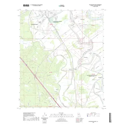 2020 Natchitoches South2020 Print · USGSNatchitoches Parish at the turn of the decade reveals a landscape where historic Creole culture meets modern infrastructure. Local researchers can trace family roots through sites like Old River Hill Cem or explore the waterways of Cane River Creolenational Historical Park and Natchez.
 - 2024 Map of Natchitoches South, 2024 Print
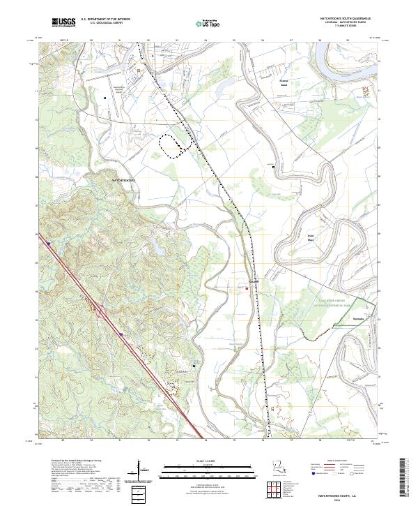 2024 Natchitoches South2024 Print · USGSLouisiana's river country south of Natchitoches is shown in great detail during the early 2020s, highlighting the unique intersection of Creole heritage and water-managed landscapes. Researchers can trace the banks of the Old River to find historic sites like Bermuda, Natchez, and the Lee Cem.
End of results
Showing maps 1-13 of 13
Top cities near Natchez
- Natchitoches historical maps
- Campti historical maps
- Montgomery historical maps
- Provencal historical maps
- Clarence historical maps
- Powhatan historical maps
Frequently asked questions
- What are the different types of historical maps available for Natchez?
- What is the oldest map of Natchez?
- Where can I purchase historical maps of Natchez for my home or office?
- Where can I download high-res historical maps of Natchez?
- Are there historical topographic maps available for Natchez?
- Is there historical aerial imagery available for Natchez?
- Where are historical maps of Natchez sourced from?