2020s Maps of Natchitoches, Louisiana
Explore 8 historic maps of Natchitoches from the 2020s. These maps offer a rare glimpse into what life looked like during the 2020s — showing old roads, neighborhoods, homes, and landmarks that have changed or disappeared over time.
Whether you're researching your family's past, planning a metal detecting trip, or studying how Natchitoches's landscape evolved across the 2020s, these high-resolution maps are a powerful tool for exploring the history of this region.
- Focus on a specific era: All maps on this page are from the 2020s, giving you a focused view of this time period.
- See what’s changed: Compare century-old streets, trails, and buildings to today's modern landscape using overlays and satellite layers.
- Research with precision: Use these maps for genealogy, historical research, land use analysis, or educational projects.
- View, download, or print: Maps are fully viewable online in high resolution, and can be downloaded or printed for your own records.
Start exploring Natchitoches's history through authentic maps from the 2020s. This is your window into the past.
Natchitoches, LA maps
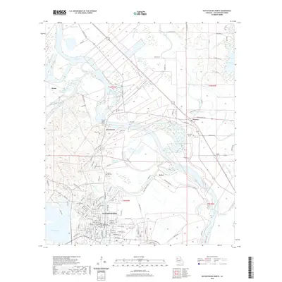
(8)- 2020 Map of Natchitoches South, 2020 Print
 2020 Natchitoches South2020 Print · USGSCovers Natchitoches, including Natchez, Bermuda, and other nearby areas
 - 2020 Map of Natchitoches North, 2020 Print
 2020 Natchitoches North2020 Print · USGSCovers Natchitoches, including Clarence, Grand Ecore, and other nearby areas
 - 2020 Map of Powhatan, 2020 Print
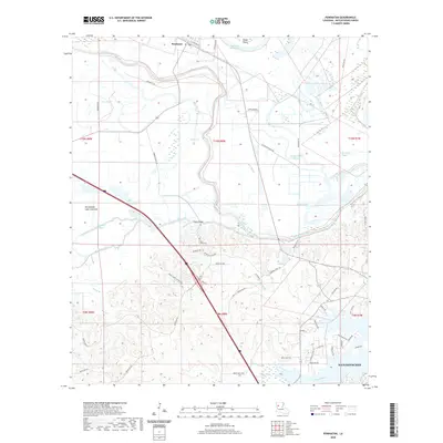 2020 Powhatan2020 Print · USGSCovers Natchitoches, including Powhatan, Highland Acres, and other nearby areas
 - 2020 Map of Provencal, 2020 Print
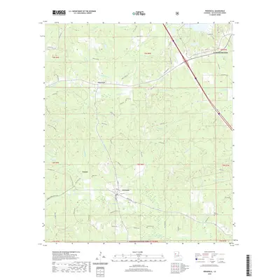 2020 Provencal2020 Print · USGSCovers Natchitoches, including Provencal, Breedlove Hills, and other nearby areas
 - 2024 Map of Natchitoches South, 2024 Print
 2024 Natchitoches South2024 Print · USGSLouisiana's river country south of Natchitoches is shown in great detail during the early 2020s, highlighting the unique intersection of Creole heritage and water-managed landscapes. Researchers can trace the banks of the Old River to find historic sites like Bermuda, Natchez, and the Lee Cem.
 - 2024 Map of Provencal, 2024 Print
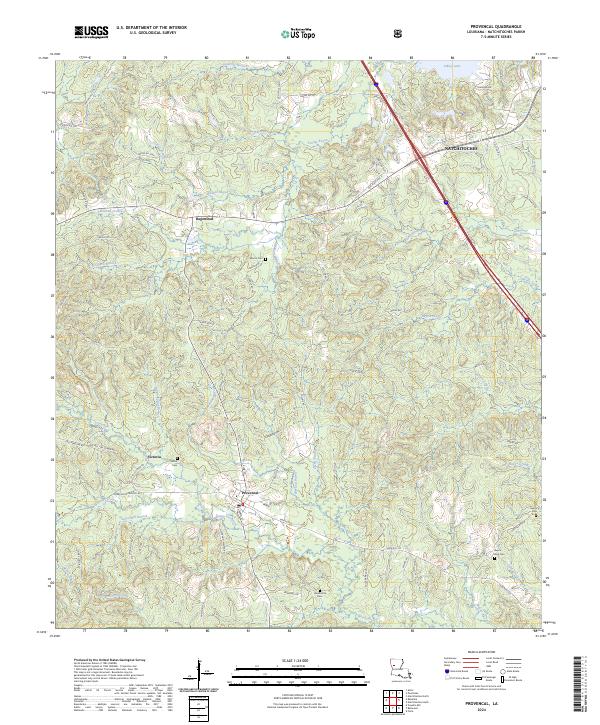 2024 Provencal2024 Print · USGSNatchitoches Parish comes into focus in the 2020s, centered on the village of Provencal and its surrounding bayou-fed landscape. Trace family roots and local landmarks at Shiloh Cem, Victoria, and the banks of Bayou Provencal.
 - 2024 Map of Natchitoches North, 2024 Print
 2024 Natchitoches North2024 Print · USGSNatchitoches and the Red River valley are captured in this recent survey, showcasing the historic city's modern footprint and institutional growth. Researchers can trace local lineage through American Cem and De Blieux Cem, or locate landmarks like the Natchitoches Parish Courthouse.
 - 2024 Map of Powhatan, 2024 Print
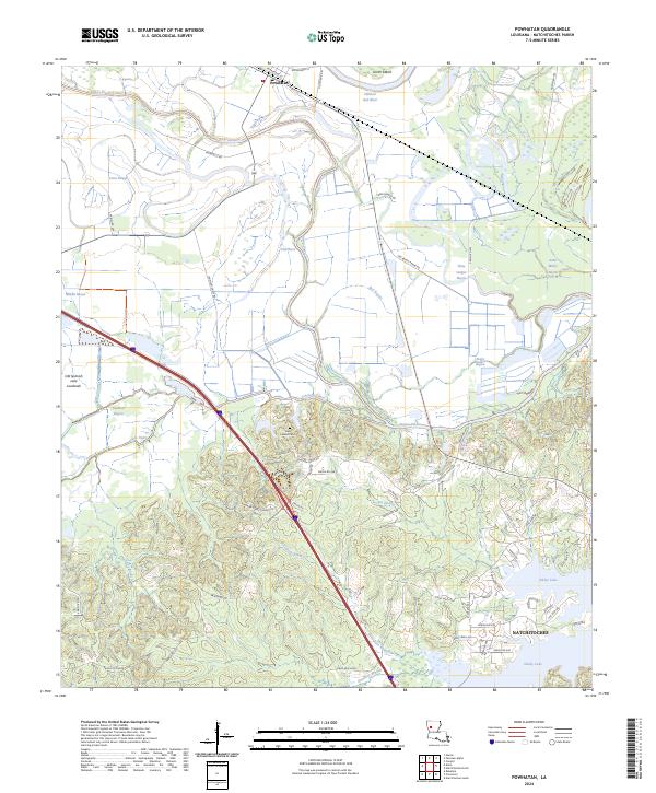 2024 Powhatan2024 Print · USGSThe alluvial plains and bayous of Natchitoches Parish come to life in this contemporary look at the river country. Genealogists and local historians can trace the landscape from Powhatan down to Saint Lukes Cem and the shores of Sibley Lake.
End of results
Showing maps 1-8 of 8
Top cities near Natchitoches
- Campti historical maps
- Montgomery historical maps
- Natchez historical maps
- Provencal historical maps
- Clarence historical maps
- Robeline historical maps
See more
Top neighborhoods of Natchitoches
Frequently asked questions
- What are the different types of historical maps available for Natchitoches?
- What is the oldest map of Natchitoches?
- Where can I purchase historical maps of Natchitoches for my home or office?
- Where can I download high-res historical maps of Natchitoches?
- Are there historical topographic maps available for Natchitoches?
- Is there historical aerial imagery available for Natchitoches?
- Where are historical maps of Natchitoches sourced from?