Old Maps of Readheimer, Louisiana for Hiking & Exploration
Hike through history with 13 historic maps of Readheimer. Explore old trails, ghost towns, and forgotten backroads — perfect for outdoor adventurers and local explorers.
- Rediscover forgotten places: Map out old mining camps, roads, and footpaths that no longer exist on modern maps.
- Layer with modern tools: Combine with LiDAR or satellite views to plan hikes through historical terrain.
- Made for exploration: Popular among hikers, overlanders, and local history lovers.
Use these maps to find adventure and explore the hidden past of Readheimer.
Readheimer, LA maps
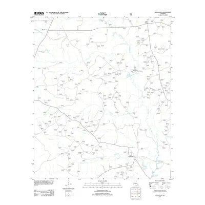
(13)- 1947 Map of Goldonna
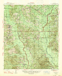 1947 Goldonna1947 Print · USGSNorth Louisiana's timber and rail country is captured here just after the war, showing the rural communities of Natchitoches and Bienville Parishes. Researchers can locate local landmarks like Blooms Mill, trace the Louisiana and Arkansas Railroad, or find old school sites like Readhimer Sch.
 - 1955 Map of Shreveport
 1955 Shreveport1955 Print · USGSNorthern Louisiana in the mid-fifties is captured here as a landscape of military bases, vast oil fields, and burgeoning college towns. Genealogists and historians can trace the rail-and-river economy through the Monroe Gas Field, Grambling College, and Barksdale Air Force Base.3 unique versions available
 - 1956 Map of Shreveport
 1956 Shreveport1956 Print · USGSNorthern Louisiana during the mid-fifties presents a complex landscape of booming oil fields and strategic military installations. Genealogists and historians can trace the infrastructure of the Monroe Gas Field and family-named locales from Cotton Valley to Jonesboro.
 - 1957 Map of Goldonna
 1957 Goldonna1957 Print · USGSThe rural pine woods of Natchitoches and Bienville Parishes are captured here in the late fifties, just as local landmarks were beginning to change. Genealogists can locate family sites such as Morning Star Ch, Goldonna Cem, and the Pleasant Ridge Sch.3 unique versions available
 - 1984 Map of Shreveport
 1984 Shreveport1984 Print · USGSNorthern Louisiana at the peak of the 1980s reveals a landscape of massive water management projects and Cold War military hubs. Trace the rail lines of the Kansas City Southern Ry past Barksdale Air Force Base and the high ground of Driskill Mountain.2 unique versions available
 - 1985 Map of Monroe South
 1985 Monroe South1985 Print · USGSNorth Central Louisiana in the mid-1980s was a hub of timber production and rail transport spanning from the Dugdemona River to the Ouachita valley. Family researchers and historians can trace the rail lines of the Midsouth Railroad through Jonesboro or find local landmarks like Mineral Springs and Punkin Center.2 unique versions available
 - 1986 Map of Goldonna
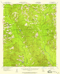
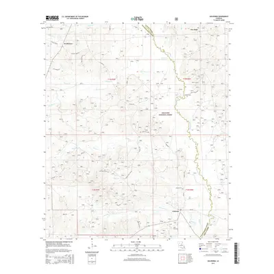
 1986 Goldonna1986 Print · USGSThe Natchitoches and Winn Parish borderlands are captured here in the mid-eighties, centered on the village of Goldonna. Researchers can trace old family sites near Readheimer, locate secluded Cem plots, and explore recreational sites like the Boat Ramp on Saline Bayou.
 - 2003 Map of Goldonna, 2005 Print
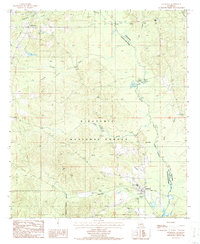
 2003 Goldonna2005 Print · USGSLouisiana's timber country and the Saline Bayou are documented here at the turn of the millennium. Genealogists and hikers can trace boundaries from Goldonna to Readheimer while locating landmarks like Pine Ridge and the Fish Hatchery.
 - 2012 Map of Goldonna, 2012 Print
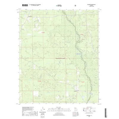
 2012 Goldonna2012 Print · USGSCovers Readheimer, including Goldonna, Pine Ridge, and other nearby areas
 - 2015 Map of Goldonna, 2015 Print
 2015 Goldonna2015 Print · USGSCovers Readheimer, including Goldonna, Pine Ridge, and other nearby areas
 - 2018 Map of Goldonna, 2018 Print
 2018 Goldonna2018 Print · USGSCovers Readheimer, including Goldonna, Pine Ridge, and other nearby areas
 - 2020 Map of Goldonna, 2020 Print
 2020 Goldonna2020 Print · USGSCovers Readheimer, including Goldonna, Pine Ridge, and other nearby areas
 - 2024 Map of Goldonna, 2024 Print
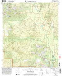
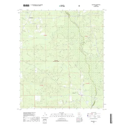
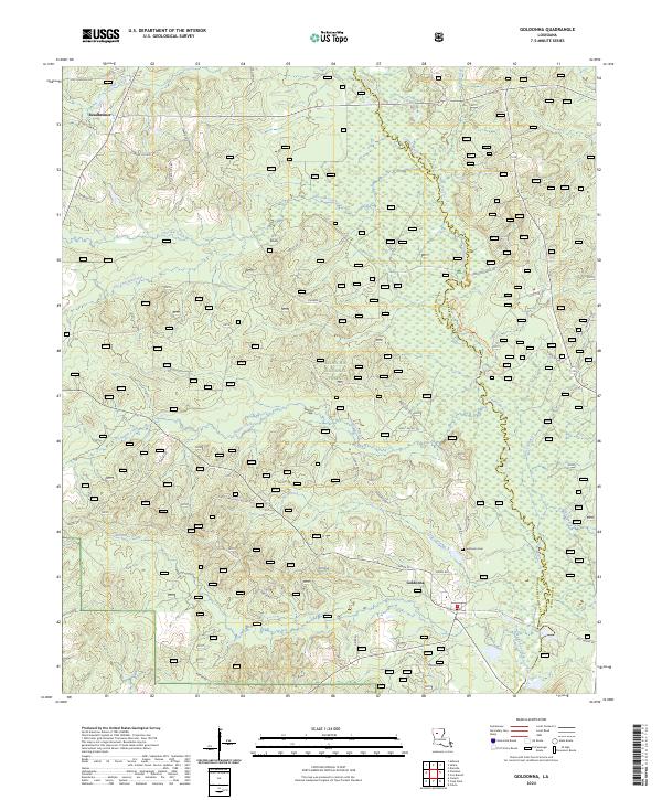 2024 Goldonna2024 Print · USGSThe Louisiana backcountry near the Natchitoches and Winn Parish line is shown in contemporary detail. Genealogists and hikers can trace the Goldonna Cem, the settlement of Readheimer, and the protected Saline Bayou Wild and Scenic River.
End of results
Showing maps 1-13 of 13
Top cities near Readheimer
- Campti historical maps
- Martin historical maps
- Goldonna historical maps
- Ashland historical maps
- Saline historical maps
- Bienville historical maps
See more
Frequently asked questions
- What are the different types of historical maps available for Readheimer?
- What is the oldest map of Readheimer?
- Where can I purchase historical maps of Readheimer for my home or office?
- Where can I download high-res historical maps of Readheimer?
- Are there historical topographic maps available for Readheimer?
- Is there historical aerial imagery available for Readheimer?
- Where are historical maps of Readheimer sourced from?