Old Maps of Versailles, New Orleans for Hiking & Exploration
Hike through history with 20 historic maps of Versailles. Explore old trails, ghost towns, and forgotten backroads — perfect for outdoor adventurers and local explorers.
- Rediscover forgotten places: Map out old mining camps, roads, and footpaths that no longer exist on modern maps.
- Layer with modern tools: Combine with LiDAR or satellite views to plan hikes through historical terrain.
- Made for exploration: Popular among hikers, overlanders, and local history lovers.
Use these maps to find adventure and explore the hidden past of Versailles.
Versailles, New Orleans maps
(20)- 1892 Map of Chef Menteur
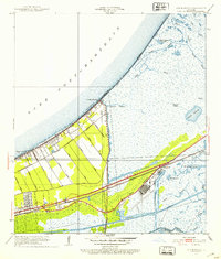
 1892 Chef Menteur1892 Print · USGSThe marshlands of eastern Orleans Parish appear here in the 1890s as a strategic coastal corridor of railroads and water passages. Researchers can trace the early rail stops at Micheaud and Lee, or locate the historic site of Ft Macomb near the Chef Menteur crossing.5 unique versions available
 - 1936 Map of Chef Menteur, 1938 Print
 1936 Chef Menteur1938 Print · USGSCoastal New Orleans and the Rigolets area are shown in the mid-1930s as drainage projects and rail lines reshaped the marshlands. Researchers can trace early settlements at Little Woods and Micheaud, or locate sites like Fort Macomb and the Dead Cypress Swamp.2 unique versions available
 - 1938 Map of Little Woods
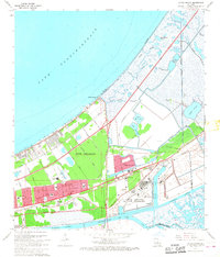
 1938 Little Woods1938 Print · USGSThe eastern reaches of New Orleans are shown in the late 1930s as modern drainage and rail lines began to transform the coastal marsh. Researchers can trace the development of Little Woods, Edge Lake, and the rail-side industries near Micheaud and Sugar Mill Lake.2 unique versions available
 - 1943 Map of Little Woods
 1943 Little Woods1943 Print · USGSThe eastern reaches of New Orleans in the early 1940s reveal a landscape in transition as drainage canals began to reshape the historic marshlands. Genealogists and historians can trace early lakeside settlements like Little Woods and Micheaud, as well as the paths of the Southern Railway and the winding Bayou Sauvage.
 - 1951 Map of Little Woods, 1953 Print
 1951 Little Woods1953 Print · USGSCoastal Orleans Parish comes into focus during the early fifties, showing the development of Little Woods and Lincoln Beach along the lake. Genealogists and local historians can trace the grid of the Southern Railway and the industrial roots of Michoud near the Intracoastal Waterway.2 unique versions available
 - 1953 Map of Mobile, 1968 Print
 1953 Mobile1968 Print · USGSThe Gulf Coast comes alive in this mid-century survey, from the streets of Mobile to the marshes of New Orleans. Trace family roots in coastal towns like Pass Christian and Bayou La Batre or locate military landmarks including Keesler AFB.3 unique versions available
 - 1957 Map of Mobile
 1957 Mobile1957 Print · USGSThe Gulf Coast in the mid-1950s reveals a bustling corridor of rail-and-river commerce connecting Alabama to Louisiana. Genealogists and historians can trace old settlements and military hubs from Keesler Afb to the coastal reaches of Ship Island and Bogalusa.3 unique versions available
 - 1960 Map of Mobile
 1960 Mobile1960 Print · USGSThe Gulf Coast at the dawn of the sixties shows a landscape of busy ports, military airbases, and barrier islands. Trace the rail lines of the Louisville & Nashville through BILOXI and Pascagoula or find family history in towns like Bayou La Batre and Poplarville.
 - 1963 Map of Mobile
 1963 Mobile1963 Print · USGSThe Gulf Coast at the dawn of the sixties shows a thriving maritime and military corridor from Louisiana to Alabama. Genealogists and historians can trace rail lines like the Louisville & Nashville RR and find landmarks from Brookley AFB to Fort Morgan.
 - 1965 Map of Mobile
 1965 Mobile1965 Print · USGSThe Gulf Coast at mid-century reveals a landscape of expanding ports and vital military installations from Louisiana to Alabama. Genealogists and historians can trace the growth of Biloxi, Pascagoula, and Mobile, alongside the sprawling De Soto National Forest.
 - 1967 Map of Little Woods, 1968 Print
 1967 Little Woods1968 Print · USGSNew Orleans and the lakefront are seen here in the late sixties as suburban expansion and industrial aerospace hubs reach into the eastern wetlands. Researchers can trace local landmarks like Little Woods, the NASA facility at Michoud, and St Maria Goretti Ch.4 unique versions available
 - 1969 Map of Chef Menteur, 1970 Print
 1969 Chef Menteur1970 Print · USGSEastern New Orleans and the Lake Pontchartrain shores are captured here during a decade of massive aerospace and industrial growth. Researchers can locate the sprawling Michoud Station, trace the Southern Railway through Slidell, and identify local sites like Abramson High Sch.
 - 1982 Map of Gulfport, 1983 Print
 1982 Gulfport1983 Print · USGSThe Gulf Coast between Louisiana and Mississippi appears in the early eighties as a landscape of marshland and maritime industry. Researchers can trace the path of the Louisville and Nashville RR through towns like Waveland and De Lisle, or locate the sprawling National Space Technology Laboratories.2 unique versions available
 - 1984 Map of Mobile
 1984 Mobile1984 Print · USGSThe Gulf Coast at the height of the mid-eighties shows a landscape of rapid industrial growth and military significance. Researchers can trace the sprawling rail lines of the Illinois Central Gulf RR, locate the NASA Test Facility, or study the barrier island chain from Cat Island to Petit Bois Island.3 unique versions available
 - 1998 Map of Little Woods, 2001 Print
 1998 Little Woods2001 Print · USGSEastern New Orleans at the close of the twentieth century shows a fascinating intersection of urban expansion and coastal marshland. Researchers can trace neighborhood landmarks like Resthaven Memorial Park and the massive NASA facility.
 - 2012 Map of Little Woods, 2012 Print
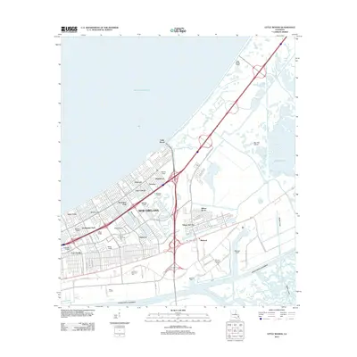 2012 Little Woods2012 Print · USGSCovers Versailles, including New Orleans, Michoud, and other nearby areas
 - 2015 Map of Little Woods, 2015 Print
 2015 Little Woods2015 Print · USGSCovers Versailles, including New Orleans, Michoud, and other nearby areas
 - 2018 Map of Little Woods, 2018 Print
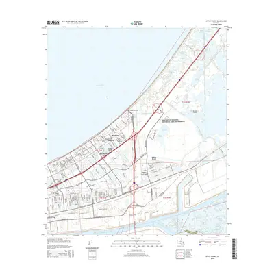
 2018 Little Woods2018 Print · USGSCovers Versailles, including New Orleans, Michoud, and other nearby areas
 - 2020 Map of Little Woods, 2020 Print
 2020 Little Woods2020 Print · USGSCovers Versailles, including New Orleans, Michoud, and other nearby areas
 - 2024 Map of Little Woods, 2024 Print
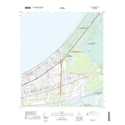
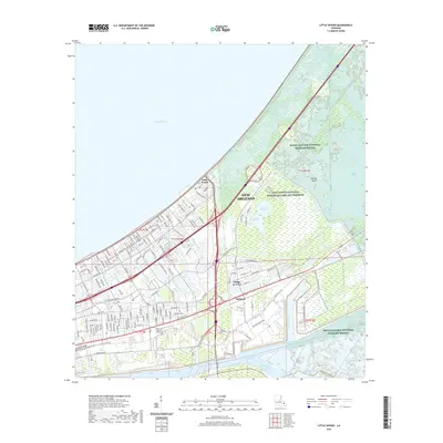
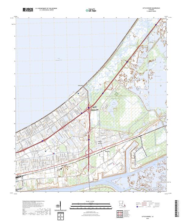 2024 Little Woods2024 Print · USGSThe eastern reaches of New Orleans are captured here at the intersection of heavy industry and sprawling wetlands. Genealogists and local historians can trace the development of Village de L'Est and Michoud alongside the Intracoastal Waterway.
End of results
Showing maps 1-20 of 20
Top cities near Versailles
- New Orleans historical maps
- Algiers historical maps
- Slidell historical maps
- Chalmette historical maps
- Gretna historical maps
- Westwego historical maps
Frequently asked questions
- What are the different types of historical maps available for Versailles?
- What is the oldest map of Versailles?
- Where can I purchase historical maps of Versailles for my home or office?
- Where can I download high-res historical maps of Versailles?
- Are there historical topographic maps available for Versailles?
- Is there historical aerial imagery available for Versailles?
- Where are historical maps of Versailles sourced from?