Old Maps of Hesperides, Louisiana
Explore 15 old maps of Hesperides, spanning from 1892 to today. These high-resolution historic maps reveal how streets, neighborhoods, landmarks, and natural features evolved over time — perfect for genealogy, metal detecting, research, and local history exploration.
What you can do with these maps:
- See how Hesperides changed over time: Compare historical maps to modern-day views to trace roads, homesites, rail lines & more.
- View detailed metadata: Each map includes creators, publishers, year, scale, and archive source.
- Overlay maps with satellite & LiDAR: Visualize the past alongside modern tools to explore terrain & human change.
- Trusted historical sources: Maps sourced from the USGS, Library of Congress, and other archives.
- Access maps your way: View online, download high-res files, or order prints for personal or research use.
Start exploring old maps of Hesperides to uncover forgotten places, hidden landmarks, and the deep history beneath your feet.
Hesperides, LA maps
(15)- 1892 Map of Quarantine
 1892 Quarantine1892 Print · USGSThe lower Mississippi Delta in the 1890s appears as a fragile network of river settlements and sprawling bayous. Genealogists and historians can trace family locations at Guyot Settlement, the Quarantine station, and Buras Settlement.5 unique versions available
 - 1935 Map of Tropical Bend
 1935 Tropical Bend1935 Print · USGSThe Plaquemines Parish marshlands are captured here in the mid-1930s, showing the early infrastructure of the Mississippi Delta. Researchers can trace the riverfront rail line of the Louisiana Southern Railroad and the settlements at Empire and Nairn.
 - 1941 Map of Empire
 1941 Empire1941 Print · USGSPlaquemines Parish comes to life in this pre-war survey of the Mississippi River delta as it transitions into the Gulf. Genealogists and historians can trace the riverfront rail line through Port Sulphur and Buras, or locate landmarks like Pt Pleasant Cem and Swartze Sch.
 - 1944 Map of Empire
 1944 Empire1944 Print · USGSThe Mississippi River delta in the 1940s reveals a fragile line of settlement between the river and the Gulf. Researchers can trace the layout of Port Sulphur, locate the Ft Pleasant Cem, and follow the old Ferry to Pt. a la Hache.2 unique versions available
 - 1953 Map of Empire
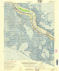 1953 Empire1953 Print · USGSCoastal Plaquemines Parish shows its mid-century industrial and community character along the lower Mississippi. Genealogists and researchers can locate family sites like Nairn Cem and Roxy Jane Cem alongside early landmarks such as the Nairn P O.
 - 1957 Map of Breton Sound, 1967 Print
 1957 Breton Sound1967 Print · USGSThe Mississippi River delta is captured here in the mid-fifties, showing the fragile marshlands and river-dependent towns of the Louisiana coast. Genealogists and historians can trace riverside settlements like Pointe a la Hache, Pilottown, and Port Sulphur.3 unique versions available
 - 1960 Map of Empire, 1963 Print
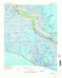 1960 Empire1963 Print · USGSThe lower Plaquemines Parish delta in the early sixties was a world defined by the river and the oil fields. Genealogists and historians can trace the foundations of communities like Empire and Port Sulphur, locating landmarks such as St Patrick Ch and Nairn PO.2 unique versions available
 - 1961 Map of Breton Sound
 1961 Breton Sound1961 Print · USGSThe Louisiana delta and the outer marshes of Plaquemines Parish are captured here at the start of the 1960s. Researchers can trace the river settlements from Davant to Venice, locate isolated stations like Port Eads, and find old sites such as Fort Jackson.
 - 1973 Map of Empire, 1976 Print
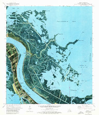 1973 Empire1976 Print · USGSThe Plaquemines Parish coast in the early seventies shows a complex landscape of delta industry and river life. Genealogists and historians can locate markers like Cannon Cem and Point Pleasant Cem or trace the reach of the Cox Bay Oil and Gas Field.3 unique versions available
 - 1983 Map of Mississippi River Delta
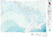 1983 Mississippi River Delta1983 Print · USGSThe lower Mississippi delta in the early eighties shows the thin line of human habitation clinging to the river levee between the vast marshes and the gulf. Genealogists and historians can trace the riverside communities of Empire, Triumph, and Nairn alongside the industrial Sulphur Mining Area.2 unique versions available
 - 2012 Map of Empire, 2012 Print
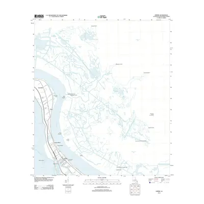 2012 Empire2012 Print · USGSThe lower Plaquemines Parish marshlands are shown here in the early twenty-first century, where the river meets the oil and gas fields of the coast. Trace family history at Nairn Cemetery or follow the water to the Quarantine Bay Seaplane Base and Empire Oil Field.
 - 2015 Map of Empire, 2015 Print
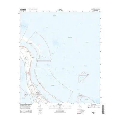 2015 Empire2015 Print · USGSCoastal Louisiana's delta communities line the riverbanks in the mid-2010s, revealing the intersection of local history and water management. Researchers can trace family sites like Nairn Cem or Point Pleasant Cem and explore the industrial waterways of Empire and the Doullut Canal.
 - 2018 Map of Empire, 2018 Print
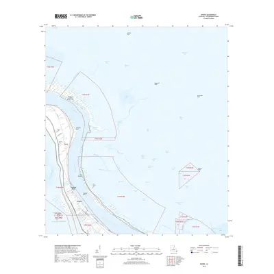 2018 Empire2018 Print · USGSPlaquemines Parish in the late 2010s shows a landscape of river-dependent settlements and fragile wetlands. Genealogists and historians can locate specific burial sites at Nairn Cem and Point Pleasant Cem, or trace the levee-side life of Empire and Tropical Bend.
 - 2020 Map of Empire, 2020 Print
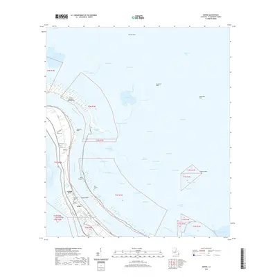 2020 Empire2020 Print · USGSCoastal Plaquemines Parish comes into sharp focus in this 2020 record of the Mississippi delta's shifting landscape. Researchers can trace family history through several small burial sites like Nairn Cem and Tropical Bend Cem, or locate landmarks such as Sixtymile Point.
 - 2024 Map of Empire, 2024 Print
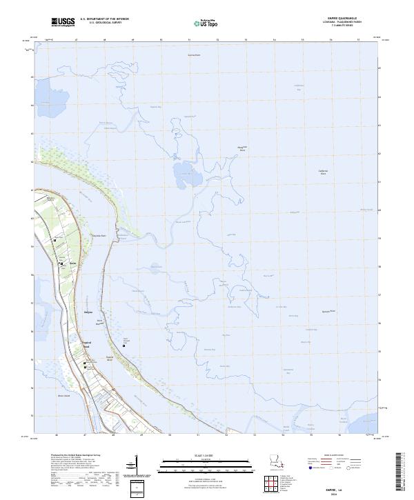 2024 Empire2024 Print · USGSModern Plaquemines Parish remains a narrow corridor of life between the river and the marsh. Family historians can locate numerous burial sites like Mackey Cem and Tropical Bend Cem or trace the docks and canals around Empire.
End of results
Showing maps 1-15 of 15
Top cities near Hesperides
Frequently asked questions
- What are the different types of historical maps available for Hesperides?
- What is the oldest map of Hesperides?
- Where can I purchase historical maps of Hesperides for my home or office?
- Where can I download high-res historical maps of Hesperides?
- Are there historical topographic maps available for Hesperides?
- Is there historical aerial imagery available for Hesperides?
- Where are historical maps of Hesperides sourced from?