Old Maps of Lacour, Louisiana for Genealogy
Trace your family roots with 14 historic maps of Lacour. These high-res maps reveal old neighborhoods, homesites, landmarks, and streets — helping you uncover where your ancestors lived and how the area evolved over time.
- Explore historic neighborhoods: Identify where your relatives may have lived in the 1800s or 1900s.
- Compare maps over time: Trace the changes in streets, buildings, and landmarks for multi-generational research.
- Perfect for genealogy & ancestry research: Used by family historians and researchers to map out lineage and migration.
These maps are an incredible resource for exploring your personal connection to Lacour's past.
Lacour, LA maps
(14)- 1941 Map of Batchelor, 1944 Print
 1941 Batchelor1944 Print · USGSThe Mississippi River's powerful shifts define this corner of Louisiana in the early 1940s, from the oxbows of the Raccourci Old River to the banks of Angola. Local researchers can locate family landmarks such as Mains Plantation, St Stevens Ch, and the Lower Latanache Sch.
 - 1954 Map of Baton Rouge, 1974 Print
 1954 Baton Rouge1974 Print · USGSSoutheast Louisiana in the mid-fifties is captured here during a period of transition for its river and rail economies. Researchers can trace the path of the Mississippi River and find landmarks like the Bonnet Carre Spillway and Bayou Plaquemine.2 unique versions available
 - 1955 Map of Batchelor
 1955 Batchelor1955 Print · USGSLouisiana's river country is captured here in the mid-fifties, showing the massive impact of cutoffs and flood control projects on local parishes. Researchers can trace the sprawling Penitentiary Farm at Angola or locate family roots at St Marys Ch & Cem and Lacour Plantation.
 - 1956 Map of Baton Rouge
 1956 Baton Rouge1956 Print · USGSSouth Louisiana at the height of the mid-century oil boom shows a landscape of river oxbows and rising industry. Researchers can trace family roots through river towns like Scotlandville or locate early industrial sites and Oil wells near Lake Maurepas.
 - 1961 Map of Baton Rouge, 1966 Print
 1961 Baton Rouge1966 Print · USGSSoutheastern Louisiana in the early sixties remains a landscape of deep river bends and sprawling coastal lakes. Genealogists and historians can trace the rail-and-river economy through landmarks like Free-Nigger Point, Donaldsonville, and the Illinois Central Railroad.
 - 1962 Map of Baton Rouge
 1962 Baton Rouge1962 Print · USGSSouth Louisiana in the early sixties reveals a landscape of river-bend parishes and emerging interstate corridors. Genealogists and historians can trace family roots through historic river towns like Donaldsonville and Plaquemine, or follow the path of the Illinois Central Railroad through the swamp basins.
 - 1965 Map of Lacour, 1966 Print
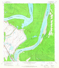 1965 Lacour1966 Print · USGSMid-century life in Pointe Coupee Parish is shaped by the great river and the massive levees of the Morganza Floodway. Genealogists and historians can trace the foundations of Lacour and find local landmarks like Jerusalem Ch and the Texas and Pacific Railway.4 unique versions available
 - 1967 Map of Batchelor, 1969 Print
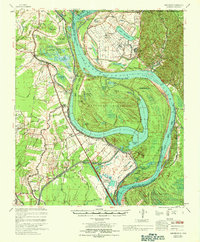 1967 Batchelor1969 Print · USGSPointe Coupee Parish and West Feliciana Parish meet at this complex Mississippi River junction in the late sixties. Genealogists and historians can trace the foundations of Angola, explore family sites like St Marks Ch Cem, or study the massive Morganza Control Structure.
 - 1983 Map of New Roads
 1983 New Roads1983 Print · USGSThe river parishes of central Louisiana are documented in the early 1980s, showcasing the winding courses of the Atchafalaya and Mississippi. Genealogists and historians can trace rail-served river towns like Melville and Simmesport, or locate the Port Hudson National Cem and the State Penitentiary.2 unique versions available
 - 2012 Map of Lacour, 2012 Print
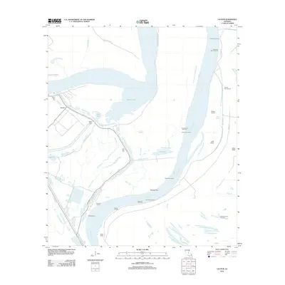 2012 Lacour2012 Print · USGSLouisiana river life and its intricate bayou networks are preserved here in the early twenty-first century. Genealogists and historians can trace family roots at Mount Zion Cem or locate old river access points like Greenwood Landing and Ryans Landing.
 - 2015 Map of Lacour, 2015 Print
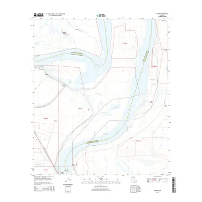 2015 Lacour2015 Print · USGSPointe Coupee and West Feliciana Parishes are shown in the mid-2010s, where the river's shifting path has left behind a complex geography of islands and sloughs. Genealogists and local historians can trace family sites at Mount Zion Cem or locate the old landing at Iowa Point.
 - 2018 Map of Lacour, 2018 Print
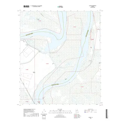 2018 Lacour2018 Print · USGSLouisiana's river country is captured here during the late 2010s, showing a landscape defined by the shifting Mississippi River and its massive flood control works. Genealogists and historians can locate old burial grounds like Mount Zion Cem and Little Rock Cem near the river landing at Old River Lndg.
 - 2020 Map of Lacour, 2020 Print
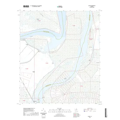 2020 Lacour2020 Print · USGSThe alluvial floodplains of Pointe Coupee Parish are shown here in the recent past, dominated by the winding Mississippi River and the Morganza Floodway. Genealogists and local historians can trace legacy sites like Mount Zion Cem, Little Rock Cem, and the settlement at Lacour.
 - 2024 Map of Lacour, 2024 Print
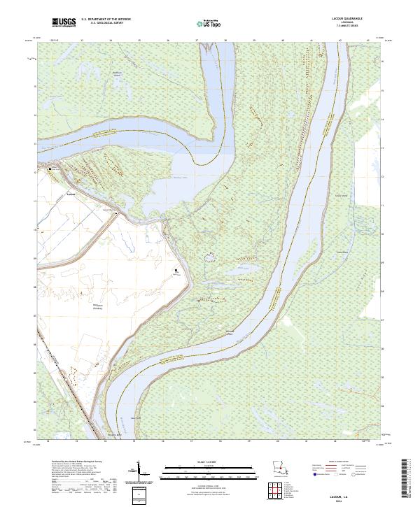 2024 Lacour2024 Print · USGSThe river parishes of Louisiana come alive in this recent survey, showcasing the massive oxbows and floodways along the Mississippi River. Genealogists and historians can trace family locations near Lacour, Mount Zion Cem, and the Little Rock Cem.
End of results
Showing maps 1-14 of 14
Top cities near Lacour
- New Roads historical maps
- Simmesport historical maps
- St. Francisville historical maps
- Melville historical maps
- Fordoche historical maps
- Morganza historical maps
Frequently asked questions
- What are the different types of historical maps available for Lacour?
- What is the oldest map of Lacour?
- Where can I purchase historical maps of Lacour for my home or office?
- Where can I download high-res historical maps of Lacour?
- Are there historical topographic maps available for Lacour?
- Is there historical aerial imagery available for Lacour?
- Where are historical maps of Lacour sourced from?