Old Maps of Turtle Beach, Louisiana
Explore 13 old maps of Turtle Beach, spanning from 1944 to today. These high-resolution historic maps reveal how streets, neighborhoods, landmarks, and natural features evolved over time — perfect for genealogy, metal detecting, research, and local history exploration.
What you can do with these maps:
- See how Turtle Beach changed over time: Compare historical maps to modern-day views to trace roads, homesites, rail lines & more.
- View detailed metadata: Each map includes creators, publishers, year, scale, and archive source.
- Overlay maps with satellite & LiDAR: Visualize the past alongside modern tools to explore terrain & human change.
- Trusted historical sources: Maps sourced from the USGS, Library of Congress, and other archives.
- Access maps your way: View online, download high-res files, or order prints for personal or research use.
Start exploring old maps of Turtle Beach to uncover forgotten places, hidden landmarks, and the deep history beneath your feet.
Turtle Beach, LA maps
(13)- 1944 Map of Negreet
 1944 Negreet1944 Print · USGSThe Sabine River valley at the height of the Second World War shows a landscape of river sloughs and forest communities before the arrival of the great reservoirs. Genealogists can trace family roots through numerous rural landmarks like Beulah Ch, Redland Cem, and the old Negreet School.
 - 1953 Map of Alexandria, 1963 Print
 1953 Alexandria1963 Print · USGSCentral Louisiana during the early fifties is mapped here at the intersection of the piney woods and the Red River valley. Genealogists and historians can trace the rail-and-river network connecting towns like Alexandria, Natchitoches, and the grounds of Camp Beauregard.3 unique versions available
 - 1954 Map of Negreet, 1958 Print
 1954 Negreet1958 Print · USGSSabine Parish and the Texas borderlands are captured here in the mid-fifties, dominated by the winding river and forest reaches. Genealogists and researchers can trace rural life through landmarks like McFarland Store, Toro High School, and Pendleton Church.4 unique versions available
 - 1954 Map of Salter Creek, 1970 Print
 1954 Salter Creek1970 Print · USGSThe Texas-Louisiana borderlands appear here in the mid-fifties, just as the landscape was being reshaped by large-scale water management projects. Researchers can trace the river's original bends near Goodlow Bluff and find rural sites like Mullet Cemetery and Shady Grove.2 unique versions available
 - 1955 Map of Alexandria
 1955 Alexandria1955 Print · USGSCentral Louisiana in the mid-fifties is a landscape of river-port cities, sprawling timberlands, and massive military reservations. Genealogists and historians can trace the rail networks of the Texas & Pacific RR and locate sites like Camp Polk Military Reservation and Natchitoches.
 - 1985 Map of Salter Creek
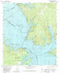 1985 Salter Creek1985 Print · USGSThe Sabine River borderlands in the mid-eighties show the massive Toledo Bend Reservoir reshaping the landscape. Researchers can trace rural life through Sabinetown, Gandy Cem, and country churches like Harpers Chapel.
 - 1986 Map of Leesville, 1988 Print
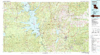 1986 Leesville1988 Print · USGSThe Louisiana-Texas borderlands in the mid-eighties centered on the vast Toledo Bend Reservoir and the timber-rich piney woods. Researchers can trace the Kansas City Southern RR corridor or locate old communities like Wiergate, Rosevine, and Sandel.
 - 2003 Map of Salter Creek, 2004 Print
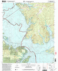 2003 Salter Creek2004 Print · USGSThe Texas-Louisiana borderlands appear here just after the millennium, centered on the vast Toledo Bend Reservoir. Genealogists and local historians can trace legacy sites like Sabinetown, Harpers Chapel, and the Miller Cem among the pine-covered hills.
 - 2010 Map of Salter Creek, 2010 Print
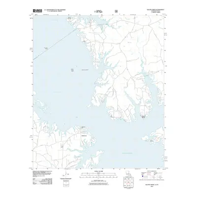 2010 Salter Creek2010 Print · USGSThe Louisiana-Texas borderlands are defined here by the winding shoreline of the reservoir in the early twenty-first century. Genealogists and local researchers can locate the historic Sabinetown area, Gandy Cemetery, and the river overlooks at Stone Coal Bluff.
 - 2015 Map of Salter Creek, 2015 Print
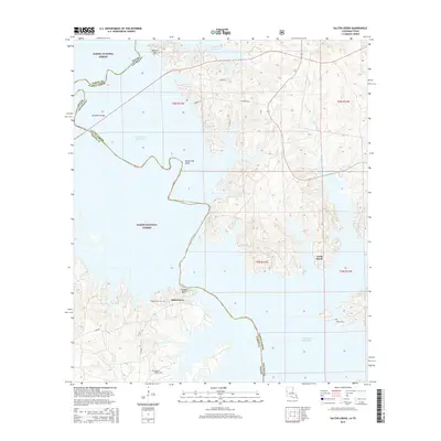 2015 Salter Creek2015 Print · USGSThe Sabine River borderlands in the mid-2010s are defined by the expansive waters of the Toledo Bend Reservoir and the surrounding pine forests. Researchers can locate local landmarks like Sabinetown Cem, Turtle Beach, and the historic heights at Stone Coal Bluff.
 - 2018 Map of Salter Creek, 2018 Print
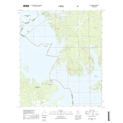 2018 Salter Creek2018 Print · USGSThe Sabine River borderlands are seen here following the creation of the reservoir, where Louisiana and Texas meet. Genealogists can trace family burial sites like Sabinetown Cem and Miller Cem or find the former site of Gandy near the forest edge.
 - 2020 Map of Salter Creek, 2020 Print
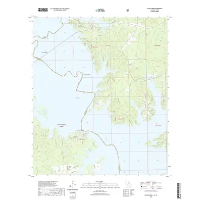 2020 Salter Creek2020 Print · USGSThe Louisiana-Texas borderlands are defined here by the winding fingers of the Toledo Bend Reservoir and the woods of the Sabine National Forest. Researchers can trace local heritage at Sabinetown or locate family burial sites such as Sabinetown Cem and Harper's Chapel Cem.
 - 2024 Map of Salter Creek, 2024 Print
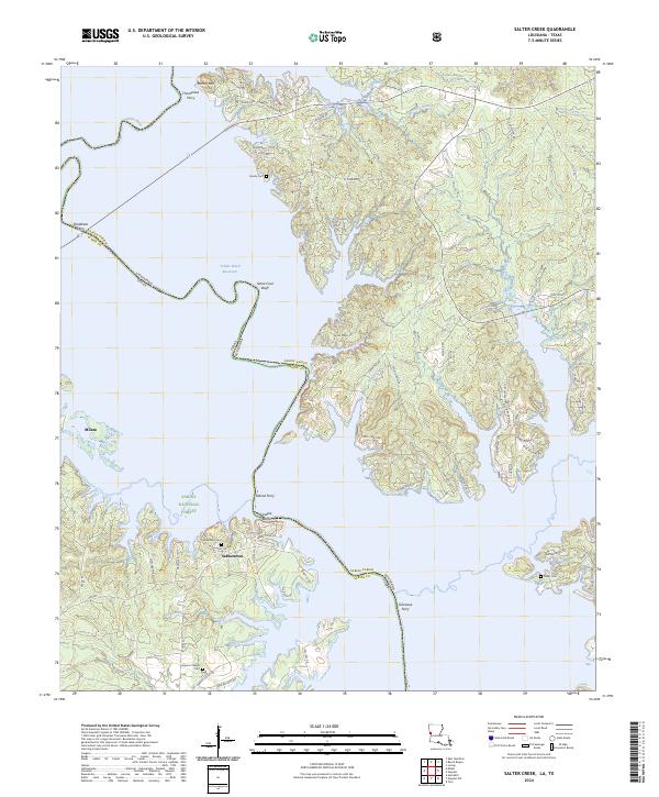 2024 Salter Creek2024 Print · USGSThe Louisiana-Texas border along the Toledo Bend Reservoir is captured here in detail, showing how the dammed Sabine River transformed the local landscape. Researchers can trace historic crossing points like Pendleton Ferry and locate family burial sites at Sabinetown Cem and Harper's Chapel Cem.
End of results
Showing maps 1-13 of 13
Top cities near Turtle Beach
- Many historical maps
- Zwolle historical maps
- Hemphill historical maps
- Florien historical maps
- Fisher historical maps
Frequently asked questions
- What are the different types of historical maps available for Turtle Beach?
- What is the oldest map of Turtle Beach?
- Where can I purchase historical maps of Turtle Beach for my home or office?
- Where can I download high-res historical maps of Turtle Beach?
- Are there historical topographic maps available for Turtle Beach?
- Is there historical aerial imagery available for Turtle Beach?
- Where are historical maps of Turtle Beach sourced from?