Old Maps of Catahoula Cove, Louisiana
Explore 14 old maps of Catahoula Cove, spanning from 1941 to today. These high-resolution historic maps reveal how streets, neighborhoods, landmarks, and natural features evolved over time — perfect for genealogy, metal detecting, research, and local history exploration.
What you can do with these maps:
- See how Catahoula Cove changed over time: Compare historical maps to modern-day views to trace roads, homesites, rail lines & more.
- View detailed metadata: Each map includes creators, publishers, year, scale, and archive source.
- Overlay maps with satellite & LiDAR: Visualize the past alongside modern tools to explore terrain & human change.
- Trusted historical sources: Maps sourced from the USGS, Library of Congress, and other archives.
- Access maps your way: View online, download high-res files, or order prints for personal or research use.
Start exploring old maps of Catahoula Cove to uncover forgotten places, hidden landmarks, and the deep history beneath your feet.
Catahoula Cove, LA maps
(14)- 1941 Map of Loreauville, 1943 Print
 1941 Loreauville1943 Print · USGSCoastal Louisiana in the early 1940s reveals a world of bayou settlements and swamp industry at the edge of the Atchafalaya. Genealogists can trace family names at St John Ch & Cem or Belle Chasse & Cem, while historians can locate the Broussard Switch and Bayou Chene.
 - 1954 Map of Loreauville
 1954 Loreauville1954 Print · USGSThe Acadiana wetlands and Bayou Teche corridor come alive in the mid-1950s, showing the intersection of rural agriculture and the emerging oil industry. Genealogists and local historians can trace family locations near Loreauville, Broussard Switch, and several rural sites like St John Ch & Cem.
 - 1954 Map of Baton Rouge, 1974 Print
 1954 Baton Rouge1974 Print · USGSSoutheast Louisiana in the mid-fifties is captured here during a period of transition for its river and rail economies. Researchers can trace the path of the Mississippi River and find landmarks like the Bonnet Carre Spillway and Bayou Plaquemine.2 unique versions available
 - 1956 Map of Baton Rouge
 1956 Baton Rouge1956 Print · USGSSouth Louisiana at the height of the mid-century oil boom shows a landscape of river oxbows and rising industry. Researchers can trace family roots through river towns like Scotlandville or locate early industrial sites and Oil wells near Lake Maurepas.
 - 1960 Map of Loreauville, 1963 Print
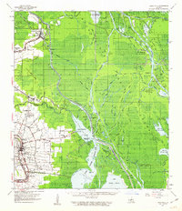 1960 Loreauville1963 Print · USGSThe Bayou Teche corridor and Atchafalaya swamplands are captured here in the early sixties, showing the reach of the oil industry into the basin. Genealogists can locate family landmarks like Broussard Switch, Mt Zion Ch, and the Indian Mound Cem near Catahoula.2 unique versions available
 - 1961 Map of Baton Rouge, 1966 Print
 1961 Baton Rouge1966 Print · USGSSoutheastern Louisiana in the early sixties remains a landscape of deep river bends and sprawling coastal lakes. Genealogists and historians can trace the rail-and-river economy through landmarks like Free-Nigger Point, Donaldsonville, and the Illinois Central Railroad.
 - 1962 Map of Baton Rouge
 1962 Baton Rouge1962 Print · USGSSouth Louisiana in the early sixties reveals a landscape of river-bend parishes and emerging interstate corridors. Genealogists and historians can trace family roots through historic river towns like Donaldsonville and Plaquemine, or follow the path of the Illinois Central Railroad through the swamp basins.
 - 1973 Map of Catahoula, 1976 Print
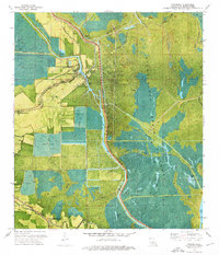 1973 Catahoula1976 Print · USGSSt. Martin Parish in the early 1970s reveals a landscape defined by the Atchafalaya Basin Floodway and its protective levees. Genealogists and historians can trace old settlements like Catahoula and Coteau Holmes or locate the Our Lady of the Lake Cem.2 unique versions available
 - 1984 Map of Baton Rouge
 1984 Baton Rouge1984 Print · USGSBaton Rouge and the surrounding river country are captured in the mid-eighties as the industrial corridor met the deep wetlands of the basin. Researchers can trace the winding Bayou Teche, locate family roots in St Martinville, or study the massive Atchafalaya Basin Floodway.2 unique versions available
 - 2012 Map of Catahoula, 2012 Print
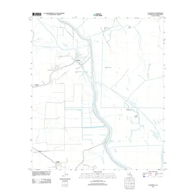 2012 Catahoula2012 Print · USGSSaint Martin Parish at the start of the decade shows the essential relationship between the Atchafalaya's waters and local life. Genealogists can trace family connections at Our Lady of the Lake Cem and locate homes in Catahoula or Coteau Holmes.
 - 2015 Map of Catahoula, 2015 Print
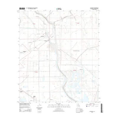 2015 Catahoula2015 Print · USGSSaint Martin Parish comes into focus during the mid-2010s, showcasing the unique water-bound communities of the Atchafalaya Basin. Genealogists and local historians can trace family roots through the Our Lady of the Lake Cem and small settlements like Coteau Holmes and Bankers.
 - 2018 Map of Catahoula, 2018 Print
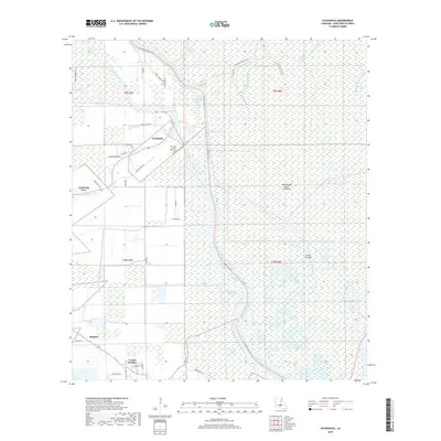 2018 Catahoula2018 Print · USGSSaint Martin Parish at the edge of the floodway shows a unique landscape of levee-side settlements in the late 2010s. Trace local history through Our Lady of the Lake Cem or follow the waters of Haha Bay and Catahoula Lake.
 - 2020 Map of Catahoula, 2020 Print
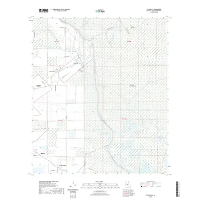 2020 Catahoula2020 Print · USGSSaint Martin Parish in the early 21st century remains a landscape defined by the water and levees of the Atchafalaya. Genealogists and historians can trace the community footprints of Catahoula and Coteau Holmes or locate family sites near Indian Mound Cem and Our Lady of the Lake Cem.
 - 2024 Map of Catahoula, 2024 Print
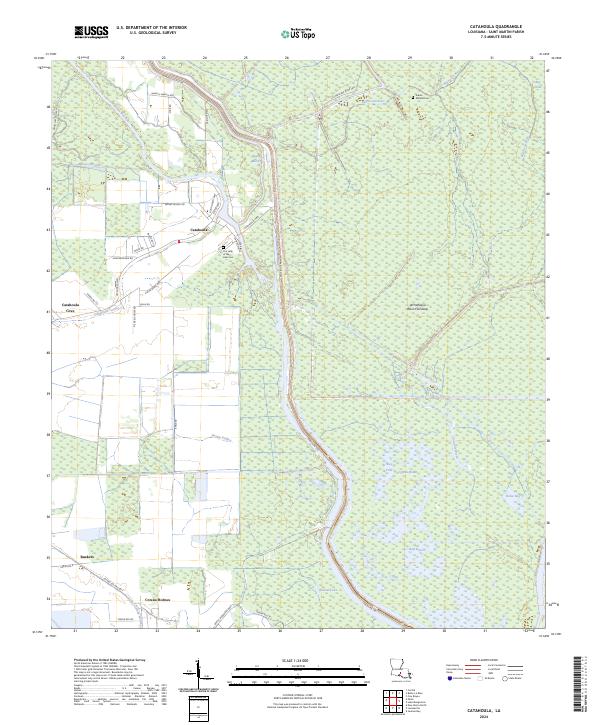 2024 Catahoula2024 Print · USGSSettlement in St. Martin Parish meets the swampy interior of the Atchafalaya Basin in the early twenty-first century. Genealogists and local historians can trace the roads around Catahoula, Coteau Holmes, and the grounds of Our Lady of the Lake Cem.
End of results
Showing maps 1-14 of 14
Top cities near Catahoula Cove
- New Iberia historical maps
- Breaux Bridge historical maps
- Youngsville historical maps
- Henderson historical maps
- Arnaudville historical maps
- Loreauville historical maps
See more
Frequently asked questions
- What are the different types of historical maps available for Catahoula Cove?
- What is the oldest map of Catahoula Cove?
- Where can I purchase historical maps of Catahoula Cove for my home or office?
- Where can I download high-res historical maps of Catahoula Cove?
- Are there historical topographic maps available for Catahoula Cove?
- Is there historical aerial imagery available for Catahoula Cove?
- Where are historical maps of Catahoula Cove sourced from?