Old Maps of Vallier, Louisiana for Hiking & Exploration
Hike through history with 17 historic maps of Vallier. Explore old trails, ghost towns, and forgotten backroads — perfect for outdoor adventurers and local explorers.
- Rediscover forgotten places: Map out old mining camps, roads, and footpaths that no longer exist on modern maps.
- Layer with modern tools: Combine with LiDAR or satellite views to plan hikes through historical terrain.
- Made for exploration: Popular among hikers, overlanders, and local history lovers.
Use these maps to find adventure and explore the hidden past of Vallier.
Vallier, LA maps
(17)- 1891 Map of Hahnville
 1891 Hahnville1891 Print · USGSSt. Charles Parish was a hub of river and rail commerce in the late nineteenth century, where new tracks began to bridge the gap between New Orleans and the southern bayous. Researchers can trace historic riverfront tracts at Hahnville and Luling or locate family-named landings such as Pecan Grove and Loquer.5 unique versions available
 - 1932 Map of Hahnville SW
 1932 Hahnville SW1932 Print · USGSThe St. Charles Parish wetlands come alive in the early 1930s as a complex network of reclamation canals and bayou transport. Trace the development of Des Allemands and find local landmarks like the St Charles Sch and the Southern Pacific rail line.
 - 1940 Map of Allemands
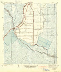 1940 Allemands1940 Print · USGSCoastal Louisiana marshlands and reclaimed swamps are frozen in time just before the mid-century, centered on the railroad crossing at Des Allemands Sta. Genealogists and historians can trace the grid of the Crawford Canal and locate the St. Charles Sch along the Southern Pacific tracks.2 unique versions available
 - 1945 Map of New Orleans
 1945 New Orleans1945 Print · USGSCoastal Louisiana and the Mississippi delta are captured here just after the war, showing the region's transition into a modern industrial and transit hub. Genealogists can trace family settlements along Bayou Teche or identify rail stops for the Illinois Central and Texas & Pacific lines.
 - 1952 Map of Allemands, 1953 Print
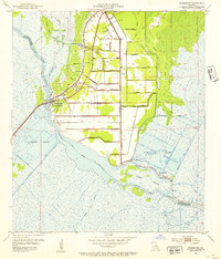 1952 Allemands1953 Print · USGSThe Louisiana bayou country is captured here during the mid-century expansion of the energy industry. Researchers can trace family sites like Shell Mound Cem, see the early Paradis Oil Field, and follow the Southern Pacific line through Allemands.2 unique versions available
 - 1955 Map of Hahnville
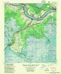 1955 Hahnville1955 Print · USGSSt. Charles Parish in the mid-1950s shows a landscape balancing river industry with vast coastal wetlands. Genealogists and historians can trace the development of Hahnville and Destrehan or locate rural landmarks like Mt Airy Church and the Davis Crevasse of 1884.
 - 1963 Map of New Orleans
 1963 New Orleans1963 Print · USGSCoastal Louisiana in the mid-twentieth century reveals a complex world of bayou settlements, expanding oil fields, and vital rail networks. Genealogists and historians can trace family roots through river towns like Thibodaux or follow the Southern Pacific line through Franklin and Patterson.4 unique versions available
 - 1966 Map of New Orleans
 1966 New Orleans1966 Print · USGSCoastal Louisiana in the mid-1960s reveals a transition from traditional bayou life to an intensive offshore oil and gas economy. Researchers can trace the rail lines of the Southern Pacific RR through Morgan City or locate the Eugene Island Lighthouse among the delta's shifting marshes.
 - 1967 Map of Des Allemands, 1968 Print
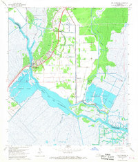 1967 Des Allemands1968 Print · USGSThe Louisiana bayou country is captured here in the late sixties, showcasing the intersection of parish life and the energy industry. Trace local heritage at Antioch Ch, Shell Mound Cem, and the rail-side settlement of Des Allemands.4 unique versions available
 - 1969 Map of Hahnville, 1971 Print
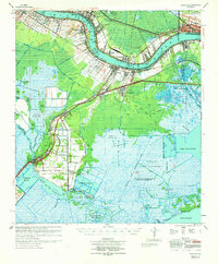 1969 Hahnville1971 Print · USGSSt. Charles Parish in the late sixties shows the industrial evolution of the river corridor from Hahnville to Kenner. Genealogists and researchers can trace family landmarks like St Charles Cem, Antioch Ch, and the many oil fields throughout the Salvador Game Management Area.
 - 1983 Map of New Orleans
 1983 New Orleans1983 Print · USGSSoutheast Louisiana in the early eighties reveals a landscape where the urban density of New Orleans meets the vast wetlands of the Salvador State Wildlife Management Area. Genealogists and historians can trace the traditional bayou settlements of Houma and Thibodaux alongside major rail lines like the Southern Pacific.2 unique versions available
 - 1998 Map of Des Allemands, 2000 Print
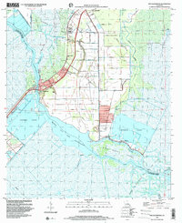 1998 Des Allemands2000 Print · USGSThe marshlands of St. Charles Parish are mapped here during the late twentieth century, showing a landscape defined by water and industry. Genealogists and historians can locate family sites at Bayou Gauche, trace the Shell Mound, or find Antioch Ch near the oil fields.
 - 2012 Map of Des Allemands, 2012 Print
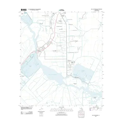 2012 Des Allemands2012 Print · USGSSt. Charles Parish is shown in the early 2010s as a complex interface of cypress-lined waterways and industrial heritage. Researchers can trace family history at Shell Mound Cem and Bayou Gauche Cem or locate the historic Post Office at Des Allemands.
 - 2015 Map of Des Allemands, 2015 Print
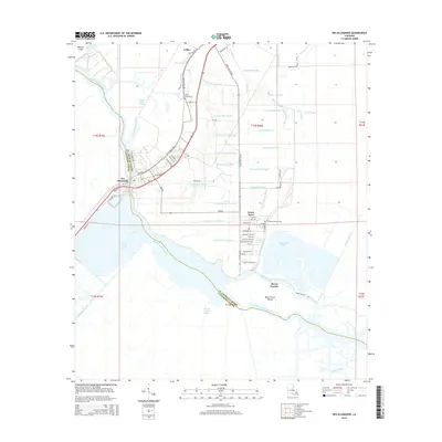 2015 Des Allemands2015 Print · USGSThe marshlands of St. Charles and Lafourche Parishes come alive in this mid-2010s survey of the Bayou Des Allemands region. Genealogists and local historians can trace family-named sites like Shell Mound Cem and water-access communities such as Green Acres and Bayou Gauche.
 - 2018 Map of Des Allemands, 2018 Print
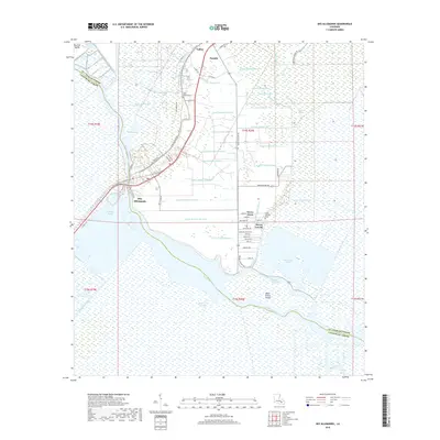 2018 Des Allemands2018 Print · USGSIn the heart of the Louisiana bayou country, this 2018 survey documents the intricate water-and-land relationship of St. Charles Parish. Genealogists and local historians can trace family locations near Des Allemands, Bayou Gauche, and historic sites like Shell Mound Cem.
 - 2020 Map of Des Allemands, 2020 Print
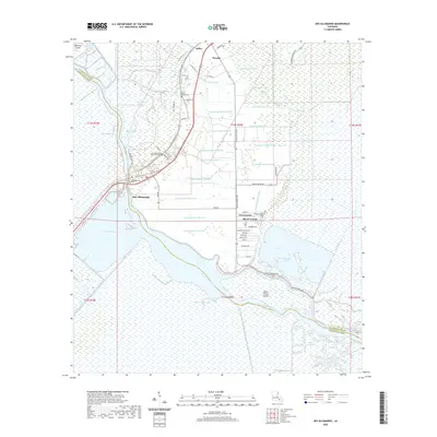 2020 Des Allemands2020 Print · USGSCoastal wetlands and drainage networks define this corner of St. Charles Parish in 2020. Local researchers can trace family landmarks and community sites like Shell Mound Cem, Saint Gertrude Cem, and the settlement of Des Allemands.
 - 2024 Map of Des Allemands, 2024 Print
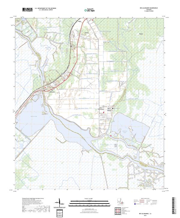 2024 Des Allemands2024 Print · USGSThe marshlands and bayous of St. Charles Parish are captured here in their modern state, centered on the historic fishing and rail hub of Des Allemands. Researchers can trace local lineage at Shell Mound Cem or explore the canal network near Bayou Gauche.
End of results
Showing maps 1-17 of 17
Top cities near Vallier
Frequently asked questions
- What are the different types of historical maps available for Vallier?
- What is the oldest map of Vallier?
- Where can I purchase historical maps of Vallier for my home or office?
- Where can I download high-res historical maps of Vallier?
- Are there historical topographic maps available for Vallier?
- Is there historical aerial imagery available for Vallier?
- Where are historical maps of Vallier sourced from?