Old Maps of Franklin, Louisiana for Genealogy
Trace your family roots with 23 historic maps of Franklin. These high-res maps reveal old neighborhoods, homesites, landmarks, and streets — helping you uncover where your ancestors lived and how the area evolved over time.
- Explore historic neighborhoods: Identify where your relatives may have lived in the 1800s or 1900s.
- Compare maps over time: Trace the changes in streets, buildings, and landmarks for multi-generational research.
- Perfect for genealogy & ancestry research: Used by family historians and researchers to map out lineage and migration.
These maps are an incredible resource for exploring your personal connection to Franklin's past.
Franklin, LA maps
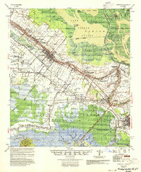
(23)- 1937 Map of Jeanerette, 1949 Print
 1937 Jeanerette1949 Print · USGSCajun country comes alive in the late 1930s as plantations and rail lines dominate the banks of the Bayou Teche. Genealogists can trace family roots through numerous sites like St Nicholas Ch & Cem, the Rosenwald School, and the Bodin Plantation.
 - 1945 Map of New Orleans
 1945 New Orleans1945 Print · USGSCoastal Louisiana and the Mississippi delta are captured here just after the war, showing the region's transition into a modern industrial and transit hub. Genealogists can trace family settlements along Bayou Teche or identify rail stops for the Illinois Central and Texas & Pacific lines.
 - 1948 Map of Foster, 1951 Print
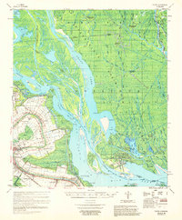
 1948 Foster1951 Print · USGSSt. Martin and St. Mary Parishes are shown at a post-war turning point, where Bayou Teche's plantation heritage meets the industrial era. Family historians can locate specific sites like Verdunville, Butler Ch & Cem, and the river-based community at Irish Bend.
 - 1954 Map of Jeanerette
 1954 Jeanerette1954 Print · USGSCoastal Louisiana parishes are captured here in the mid-fifties, where the bayou-based economy met the rising oil and gas industries. Researchers can trace family sites at St Peters Ch & Cem, explore the reaches of Grand Lake, or locate the Jeanerette Airfield.
 - 1959 Map of Foster, 1960 Print
 1959 Foster1960 Print · USGSCoastal Louisiana at the close of the 1950s shows a fascinating transition from traditional river life to a burgeoning energy economy. Researchers can trace family roots through the Israelite Cem and Evening Star Church or locate historic estates like Oaklawn Manor along Bayou Teche.3 unique versions available
 - 1963 Map of New Orleans
 1963 New Orleans1963 Print · USGSCoastal Louisiana in the mid-twentieth century reveals a complex world of bayou settlements, expanding oil fields, and vital rail networks. Genealogists and historians can trace family roots through river towns like Thibodaux or follow the Southern Pacific line through Franklin and Patterson.4 unique versions available
 - 1963 Map of Franklin, 1964 Print
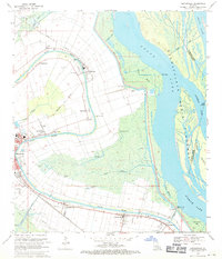
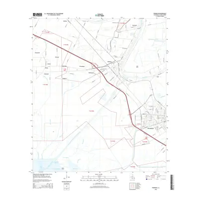
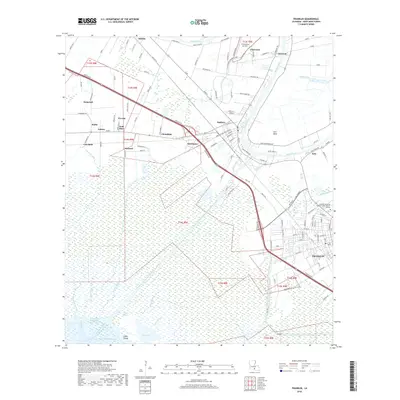
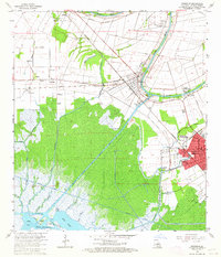 1963 Franklin1964 Print · USGSCoastal St. Mary Parish in the early sixties reveals a landscape shaped by the sugar industry and the growing oil fields. Genealogists can locate family landmarks like Bodin Plantation, the Nazarene Church, and schools including Crowell School and Hanson School.3 unique versions available
 - 1963 Map of Jeanerette, 1967 Print
 1963 Jeanerette1967 Print · USGSCajun country comes alive in the mid-1960s as settlement clusters along the banks of Bayou Teche and the edge of the Atchafalaya. Genealogists and historians can trace legacy sites from Kilgore Plantation to the streets of Jeanerette and Baldwin.2 unique versions available
 - 1966 Map of New Orleans
 1966 New Orleans1966 Print · USGSCoastal Louisiana in the mid-1960s reveals a transition from traditional bayou life to an intensive offshore oil and gas economy. Researchers can trace the rail lines of the Southern Pacific RR through Morgan City or locate the Eugene Island Lighthouse among the delta's shifting marshes.
 - 1969 Map of Centerville, 1971 Print
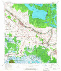
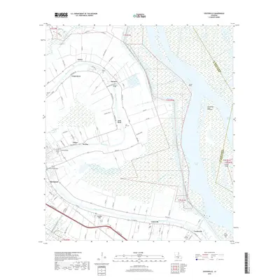
 1969 Centerville1971 Print · USGSCoastal St. Mary Parish is captured here in the late sixties, where settlements follow the winding path of Bayou Teche. Researchers can trace family sites at Oaklawn Cem and Little Zion Cem or follow the historic Missouri Pacific rail line.3 unique versions available
 - 1983 Map of Morgan City
 1983 Morgan City1983 Print · USGSThe Louisiana coast in the early eighties reveals a landscape shaped by water and industry, from the salt domes to the sugar parishes. Trace the historic corridor of the Bayou Teche, the rail lines through Morgan City, and the wetlands of Weeks Island.2 unique versions available
 - 1994 Map of Centerville, 1998 Print
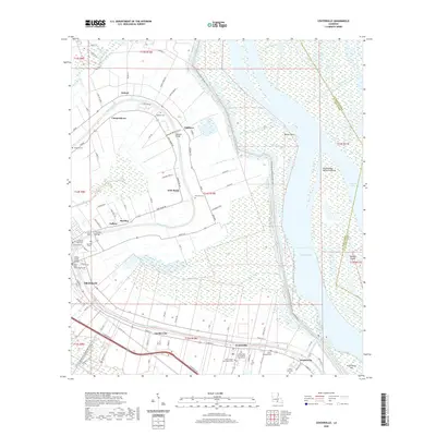
 1994 Centerville1998 Print · USGSThe riverine corridor of St. Mary Parish is captured here in the mid-1990s, where traditional settlements line the historic curves of the bayou. Researchers can locate family burial grounds like Caffery Cem and trace the proximity of Garden City to the Atchafalaya Basin Floodway.
 - 1994 Map of Franklin, 1998 Print
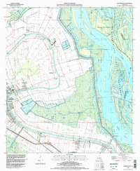
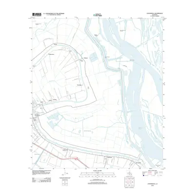
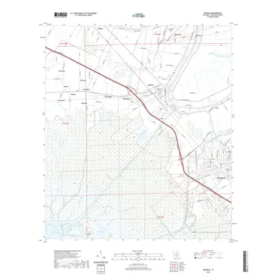
 1994 Franklin1998 Print · USGSCoastal St. Mary Parish in the mid-1990s reveals a landscape shaped by sugar production, oil exploration, and the deep-water bayou system. Researchers can trace the boundaries of Bodin Plantation and Lucy Plantation or locate landmarks like Gold Mine and the Chitimacha Indian Res.
 - 2012 Map of Franklin, 2012 Print
 2012 Franklin2012 Print · USGSCovers Franklin, including Baldwin, Bodin, and other nearby areas
 - 2012 Map of Centerville, 2012 Print
 2012 Centerville2012 Print · USGSCovers Franklin, including Oxford, Verdunville, and other nearby areas
 - 2015 Map of Centerville, 2015 Print
 2015 Centerville2015 Print · USGSCovers Franklin, including Oxford, Verdunville, and other nearby areas
 - 2015 Map of Franklin, 2015 Print
 2015 Franklin2015 Print · USGSCovers Franklin, including Baldwin, Bodin, and other nearby areas
 - 2018 Map of Centerville, 2018 Print
 2018 Centerville2018 Print · USGSCovers Franklin, including Oxford, Verdunville, and other nearby areas
 - 2018 Map of Franklin, 2018 Print
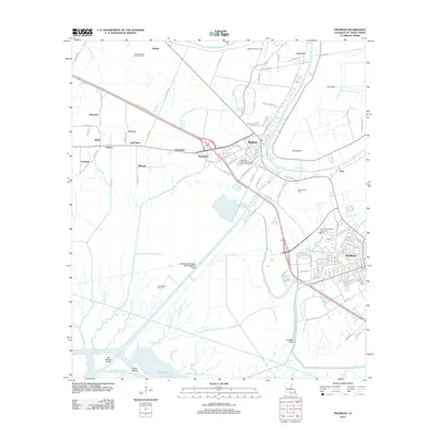
 2018 Franklin2018 Print · USGSCovers Franklin, including Baldwin, Bodin, and other nearby areas
 - 2020 Map of Franklin, 2020 Print
 2020 Franklin2020 Print · USGSCovers Franklin, including Baldwin, Bodin, and other nearby areas
 - 2020 Map of Centerville, 2020 Print
 2020 Centerville2020 Print · USGSCovers Franklin, including Oxford, Verdunville, and other nearby areas
 - 2024 Map of Centerville, 2024 Print
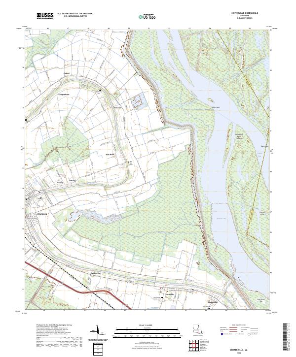 2024 Centerville2024 Print · USGSThe Bayou Teche corridor in St. Mary Parish remains a vital link between Acadian heritage and modern conservation. Researchers can trace historic settlements from Franklin to Verdunville and locate numerous local burial sites like Palo Alto Cem and Teche Gardens Cem.
 - 2024 Map of Franklin, 2024 Print
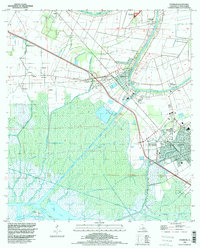
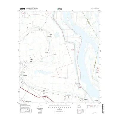
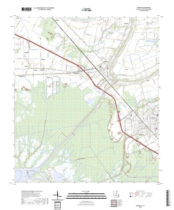 2024 Franklin2024 Print · USGSSaint Mary Parish at the modern era remains defined by its deep connection to the winding Bayou Teche and the surrounding wetlands. Genealogists and historians can trace local landmarks like Sacred Heart Church Cem or the industrial footprints of Gold Mine and the BNSF Railway.
End of results
Showing maps 1-23 of 23
Top cities near Franklin
Frequently asked questions
- What are the different types of historical maps available for Franklin?
- What is the oldest map of Franklin?
- Where can I purchase historical maps of Franklin for my home or office?
- Where can I download high-res historical maps of Franklin?
- Are there historical topographic maps available for Franklin?
- Is there historical aerial imagery available for Franklin?
- Where are historical maps of Franklin sourced from?