
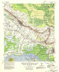
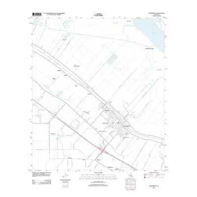
1937 Map of Jeanerette
USGS Topo · Published 1949About this map
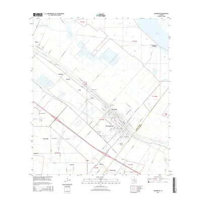
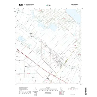
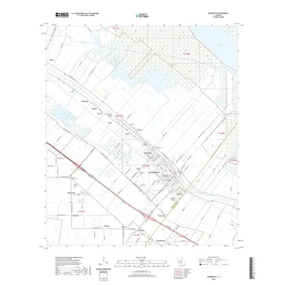
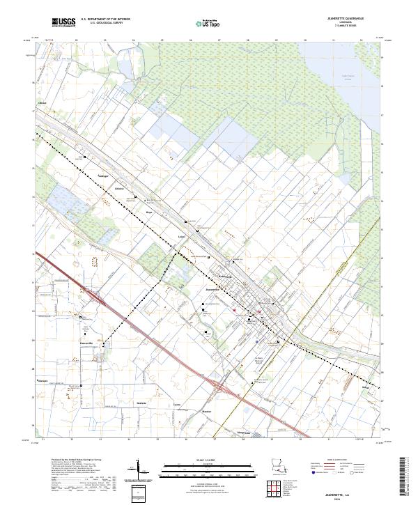
Bayou Teche winds through the heart of this sugar-producing region, serving as the primary corridor for settlement and industry during the late 1930s. The landscape is dominated by large estates such as Albania Plantation, Bayside Plantation, and Linwood Plantation, with their structured fields and pumping stations reaching toward the swampy margins. The map reveals the intricate drainage and transport networks of the era, where the Southern Pacific and Missouri Pacific railroads parallel the bayou, connecting towns like Jeanerette and Baldwin to the wider Gulf economy.
Find a feature on this map
102 named features on this map. Tap any name to fly to it.
Don’t see what you’re looking for? This feature index may not catch every label — zoom into the map to look around manually.
Map Details
Editions of this 1937 Jeanerette Map
This is the sole edition of this map. No revisions or reprints were ever made.
Historical Maps of Franklin Through Time
10 maps found
1937 Jeanerette
Iberia Parish, LA
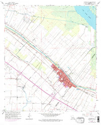
1954 Jeanerette
Iberia Parish, LA
1963 Jeanerette
Iberia Parish, LA
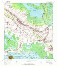
1963 Jeanerette
Iberia Parish, LA
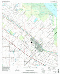
1994 Jeanerette
Iberia Parish, LA
2012 Jeanerette
Iberia Parish, LA
2015 Jeanerette
Iberia Parish, LA
2018 Jeanerette
Iberia Parish, LA
2020 Jeanerette
Iberia Parish, LA
2024 Jeanerette
Iberia Parish, LA