Old Maps of Lockhart, Louisiana for Academic Research
Study the evolution of Lockhart with 16 high-resolution historic maps. Whether you're teaching, researching, or modeling changes in land use, these maps provide essential visual documentation of urban, environmental, and geographic change.
- Analyze long-term change: Track patterns in development, transportation, and natural features.
- Ideal for environmental or urban studies: Support academic projects with primary historical map data.
- Use in the classroom or lab: Educators and researchers rely on these maps to bring historical context to life.
These maps are a powerful tool for teaching, research, and visualizing how Lockhart has changed over the decades.
Lockhart, LA maps
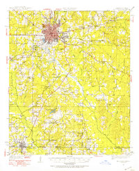
(16)- 1927 Map of El Dorado
 1927 El Dorado1927 Print · USGSUnion County, Arkansas, is captured here in the late twenties as the oil boom transformed the landscape around El Dorado. Researchers can trace the early footprints of settlements like Caledonia and find rural landmarks such as Old Parker Chapel and Jennys Store.2 unique versions available
 - 1930 Map of El Dorado, 1949 Print
 1930 El Dorado1949 Print · USGSUnion County enters its oil boom era during the late twenties, with this survey capturing the burgeoning industry surrounding El Dorado. Genealogists and local historians can trace rural school districts like Shady Grove Sch and Fairview Sch, or locate family sites near Parnell Cemetery.
 - 1951 Map of El Dorado, 1953 Print
 1951 El Dorado1953 Print · USGSSouthern Arkansas in the early fifties shows a landscape shaped by the Missouri Pacific railroad and rural growth around El Dorado. Genealogists can locate numerous landmarks like Parkers Chapel Sch, Wesley Chapel, and Caledonia.3 unique versions available
 - 1953 Map of El Dorado, 1967 Print
 1953 El Dorado1967 Print · USGSSouth Arkansas in the mid-1960s was a landscape of industrial growth and river-fed commerce. Researchers can trace the extensive Oil and Gas Fields around Magnolia, the expansive U S Naval Ammunition Depot, and the busy rail lines of the Missouri Pacific.3 unique versions available
 - 1957 Map of El Dorado
 1957 El Dorado1957 Print · USGSSouth Arkansas in the mid-1950s was a critical hub of military logistics and rail-river commerce. Genealogists and historians can trace family land across the Arkansas Louisiana border and locate sites like the U.S. Naval Ammunition Depot or the rail junctions at Magnolia and Camden.
 - 1958 Map of El Dorado
 1958 El Dorado1958 Print · USGSSouthern Arkansas and the Louisiana borderlands are shown during a period of heavy rail traffic and defense industry activity. Researchers can trace the legacy of the U. S. Naval Ammunition Depot or locate family roots in Smackover, Huttig, and Nashville.3 unique versions available
 - 1960 Map of El Dorado
 1960 El Dorado1960 Print · USGSSouth Central Arkansas in the late fifties was a hub of energy production and defense industry. Researchers can trace the extensive Oil and Gas Fields around El Dorado or locate family landmarks like Old Park Cem and New Hope Church.
 - 1981 Map of Lockhart
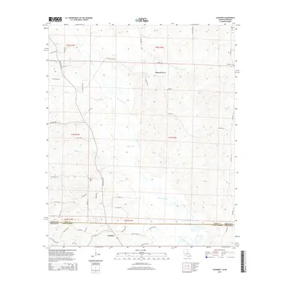
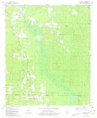 1981 Lockhart1981 Print · USGSThe Arkansas-Louisiana borderlands in the early eighties were defined by petroleum extraction and quiet rural parishes. Genealogists can trace the location of community centers like Lockhart and family-named sites such as Hillsboro Cem and Olive Branch Ch.
 - 1985 Map of El Dorado, 1986 Print
 1985 El Dorado1986 Print · USGSSouth-central Arkansas and the Louisiana borderlands appear here in the mid-1980s, defined by the energy industry and river bottomlands. Genealogists and historians can locate rural landmarks like Old Parkers Chapel Cem, the Smackover Gas Field, and the El Dorado & Wesson RR.2 unique versions available
 - 1989 Map of El Dorado, 1990 Print
 1989 El Dorado1990 Print · USGSThe Arkansas-Louisiana borderlands in the late eighties show a landscape of heavy industry and wildlife conservation centered on the Ouachita River. Researchers can trace the legacy of timber and transport via the Missouri Pacific RR, Poison Springs State Forest, and the vast Felsenthal Pool.
 - 2011 Map of Lockhart, 2011 Print
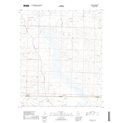
 2011 Lockhart2011 Print · USGSCovers Lockhart, including Pleasant Grove, Union County, and other nearby areas
 - 2012 Map of Lockhart, 2012 Print
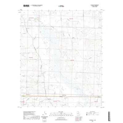
 2012 Lockhart2012 Print · USGSCovers Lockhart, including Pleasant Grove, Union County, and other nearby areas
 - 2015 Map of Lockhart, 2015 Print
 2015 Lockhart2015 Print · USGSCovers Lockhart, including Pleasant Grove, Union County, and other nearby areas
 - 2018 Map of Lockhart, 2018 Print
 2018 Lockhart2018 Print · USGSCovers Lockhart, including Pleasant Grove, Union County, and other nearby areas
 - 2020 Map of Lockhart, 2020 Print
 2020 Lockhart2020 Print · USGSCovers Lockhart, including Pleasant Grove, Union County, and other nearby areas
 - 2024 Map of Lockhart, 2024 Print
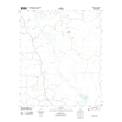
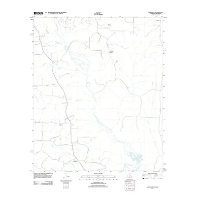
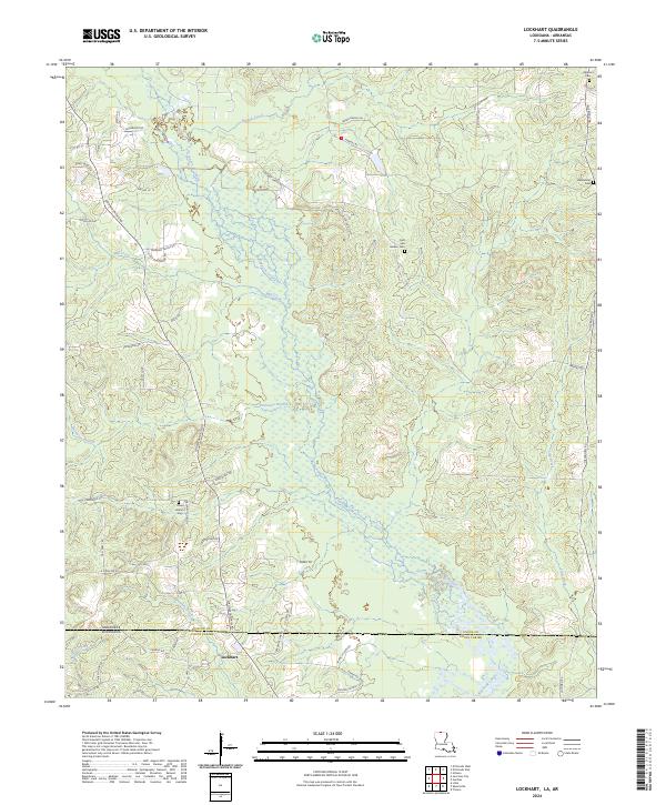 2024 Lockhart2024 Print · USGSThe Arkansas-Louisiana state line bisects this rural landscape as it appeared in recent years, centered on the community of Lockhart. Researchers can locate several burial sites including Hillsboro Cem and Olive Branch Cem along the winding course of Bayou de Loutre.
End of results
Showing maps 1-16 of 16
Top cities near Lockhart
- El Dorado historical maps
- Farmerville historical maps
- Bernice historical maps
- Junction City historical maps
- Strong historical maps
- Junction City historical maps
See more
Frequently asked questions
- What are the different types of historical maps available for Lockhart?
- What is the oldest map of Lockhart?
- Where can I purchase historical maps of Lockhart for my home or office?
- Where can I download high-res historical maps of Lockhart?
- Are there historical topographic maps available for Lockhart?
- Is there historical aerial imagery available for Lockhart?
- Where are historical maps of Lockhart sourced from?