1900s (20th Century) Maps of Anacoco, Louisiana
Explore 16 historic maps of Anacoco from the 1900s (20th Century). These maps offer a rare glimpse into what life looked like during the 1900s — showing old roads, neighborhoods, homes, and landmarks that have changed or disappeared over time.
Whether you're researching your family's past, planning a metal detecting trip, or studying how Anacoco's landscape evolved across the 1900s, these high-resolution maps are a powerful tool for exploring the history of this region.
- Focus on a specific era: All maps on this page are from the 1900s, giving you a focused view of this time period.
- See what’s changed: Compare century-old streets, trails, and buildings to today's modern landscape using overlays and satellite layers.
- Research with precision: Use these maps for genealogy, historical research, land use analysis, or educational projects.
- View, download, or print: Maps are fully viewable online in high resolution, and can be downloaded or printed for your own records.
Start exploring Anacoco's history through authentic maps from the 1900s. This is your window into the past.
Anacoco, LA maps
(16)- 1941 Map of Leesville
 1941 Leesville1941 Print · USGSVernon Parish at the start of the 1940s reveals a transition from a logging-dependent economy to a more established network of rural towns. Researchers can trace family roots at Bill Cem, locate the old Cooper Sch, or follow the path of the Kansas City Southern Railroad through Newllano.
 - 1942 Map of Florien
 1942 Florien1942 Print · USGSThe timber and rail corridor of the Louisiana pinewoods is captured here in the early 1940s as the Kansas City Southern railroad links small mill towns. Family historians can trace local roots through numerous rural landmarks like Sibley Cem, Mount Carmel, and Pine Grove Ch.
 - 1943 Map of Leesville
 1943 Leesville1943 Print · USGSVernon Parish during the early 1940s reveals a landscape of timber-driven growth and rural crossroads. Genealogists and historians can trace family locations near Leesville, identify old cemetery sites like Kay Cem, and locate the Old Logging Railroad grades.
 - 1944 Map of Florien
 1944 Florien1944 Print · USGSMid-century Sabine and Vernon Parishes center on the timber and rail economy along the Kansas City Southern. Genealogists can trace family roots through numerous rural landmarks like Lewing Cem, Plainview Sch, and Pratts Chapel.
 - 1946 Map of Leesville
 1946 Leesville1946 Print · USGSVernon Parish at the height of the 1940s reveals a landscape still defined by its timber heritage and rural crossroads. Genealogists and historians can locate vanished landmarks like the Old Logging Railroad, family burial sites at Kay Cem, and early schools like Pickering Sch.
 - 1948 Map of Leesville, 1954 Print
 1948 Leesville1954 Print · USGSVernon Parish at the dawn of the fifties shows a landscape shaped by the Kansas City Southern Railway and military growth. Genealogists can trace family roots through rural landmarks like Pickering Sch, Beech Grove Ch Cem, and Anacoco.
 - 1953 Map of Alexandria, 1963 Print
 1953 Alexandria1963 Print · USGSCentral Louisiana during the early fifties is mapped here at the intersection of the piney woods and the Red River valley. Genealogists and historians can trace the rail-and-river network connecting towns like Alexandria, Natchitoches, and the grounds of Camp Beauregard.3 unique versions available
 - 1954 Map of Leesville, 1956 Print
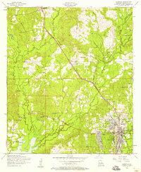 1954 Leesville1956 Print · USGSVernon Parish at the mid-century mark reveals a landscape defined by growing towns and a web of rural community centers. Genealogists and historians can locate family landmarks such as Smith Cemetery, Holly Grove Church, and the Leonidas Polk Memorial Church near the heart of Leesville.6 unique versions available
 - 1954 Map of Florien, 1958 Print
 1954 Florien1958 Print · USGSSabine and Vernon Parishes come into focus during the mid-fifties, showing the intersection of logging rail lines and expanding military terrain. Genealogists can locate family landmarks such as Old Pilgrim Star Church Cem, Plainview School, and the busy rail stops at Hornbeck and Florien.3 unique versions available
 - 1954 Map of Leesville, 1958 Print
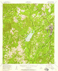 1954 Leesville1958 Print · USGSVernon Parish at the height of the mid-fifties is captured here, from the growing streets of Leesville to the wide waters of Anacoco Lake. Genealogists and historians can trace local family landmarks like Mt Pleasant Cem, the Pickering Sch, and the Leesville Lookout Tower.4 unique versions available
 - 1954 Map of Dowden Creek, 1958 Print
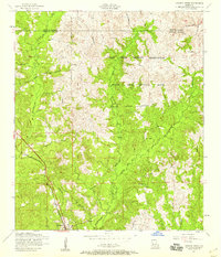 1954 Dowden Creek1958 Print · USGSWestern Louisiana at the mid-century shows a landscape divided between the rural community of Anacoco and the growing Fort Polk Military Reservation. Genealogists and historians can trace numerous country landmarks such as Mitchell Church and Pruitts Chapel, or follow the path of an old Dismantled railroad.4 unique versions available
 - 1955 Map of Alexandria
 1955 Alexandria1955 Print · USGSCentral Louisiana in the mid-fifties is a landscape of river-port cities, sprawling timberlands, and massive military reservations. Genealogists and historians can trace the rail networks of the Texas & Pacific RR and locate sites like Camp Polk Military Reservation and Natchitoches.
 - 1957 Map of Leesville, 1959 Print
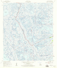 1957 Leesville1959 Print · USGSLafourche Parish marshes meet the Gulf of Mexico during the mid-century oil boom. Genealogists and researchers can trace the settlement at Leeville and locate numerous Oil Wells and a local Cem among the waters of Hackberry Bay.3 unique versions available
 - 1986 Map of Leesville, 1988 Print
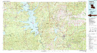 1986 Leesville1988 Print · USGSThe Louisiana-Texas borderlands in the mid-eighties centered on the vast Toledo Bend Reservoir and the timber-rich piney woods. Researchers can trace the Kansas City Southern RR corridor or locate old communities like Wiergate, Rosevine, and Sandel.
 - 1994 Map of Leesville, 1997 Print
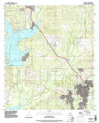 1994 Leesville1997 Print · USGSLeesville and Vernon Parish appear here in the mid-nineties, showing a landscape shaped by large reservoirs and the Kansas City Southern rail line. Genealogists and local historians can trace the sites of Kay Cem, Shady Grove Cem, and the small community of Anacoco.
 - 1994 Map of Dowden Creek, 1997 Print
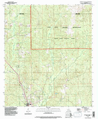 1994 Dowden Creek1997 Print · USGSThe Fort Polk Military Reservation and Peason Ridge Artillery Range define this corner of Louisiana in the mid-1990s. Researchers can trace the drainage of Dowden Creek, locate the settlement of Anacoco, and see the early path of roads then Under Construction.
End of results
Showing maps 1-16 of 16
Top cities near Anacoco
- Leesville historical maps
- New Llano historical maps
- Florien historical maps
- Hornbeck historical maps
- Fisher historical maps
Frequently asked questions
- What are the different types of historical maps available for Anacoco?
- What is the oldest map of Anacoco?
- Where can I purchase historical maps of Anacoco for my home or office?
- Where can I download high-res historical maps of Anacoco?
- Are there historical topographic maps available for Anacoco?
- Is there historical aerial imagery available for Anacoco?
- Where are historical maps of Anacoco sourced from?