Old Maps of Fullerton, Louisiana for Academic Research
Study the evolution of Fullerton with 13 high-resolution historic maps. Whether you're teaching, researching, or modeling changes in land use, these maps provide essential visual documentation of urban, environmental, and geographic change.
- Analyze long-term change: Track patterns in development, transportation, and natural features.
- Ideal for environmental or urban studies: Support academic projects with primary historical map data.
- Use in the classroom or lab: Educators and researchers rely on these maps to bring historical context to life.
These maps are a powerful tool for teaching, research, and visualizing how Fullerton has changed over the decades.
Fullerton, LA maps
(13)- 1947 Map of Pitkin
 1947 Pitkin1947 Print · USGSVernon Parish at the end of the 1940s is a landscape of timber history and emerging highway networks. Trace genealogical roots through rural landmarks like Simmons Mill Ch or the tracks of the Gulf Colorado and Santa Fe Railroad near Pitkin.
 - 1951 Map of Pitkin, 1952 Print
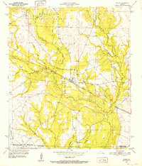 1951 Pitkin1952 Print · USGSLouisiana's timber and rail country comes to life in the early fifties, centered on the community of Pitkin and the Kisatchie National Forest. Genealogists can trace local landmarks like Mathis Cem, Simmons Mill Ch, and the winding path of the Atchison Topeka and Santa Fe.
 - 1952 Map of Lake Charles
 1952 Lake Charles1952 Print · USGSSouthwest Louisiana is captured here in the mid-fifties, showing a landscape defined by the rise of the petrochemical industry and deep-water navigation. Researchers can trace family roots through numerous small-town settlements and oil developments like Nibletts Bluff, the Lockport Oil Field, and Starks.
 - 1954 Map of Lake Charles, 1964 Print
 1954 Lake Charles1964 Print · USGSSouthwest Louisiana in the mid-fifties is defined by its massive petroleum industry and its complex network of bayous and rail lines. Researchers can trace the development of the Sulphur Mines Oil Field or locate historic settlements like Longville and De Quincy.3 unique versions available
 - 1959 Map of Elizabeth, 1960 Print
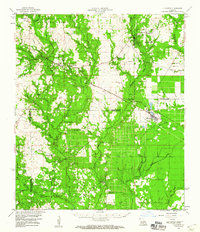 1959 Elizabeth1960 Print · USGSLouisiana's timberlands and rural parishes are captured here in the mid-twentieth century, showing the rail-dependent corridor between Pitkin and Elizabeth. Researchers can locate numerous country churches and cemeteries like Shady Grove Ch and Hamilton Cem, or trace the winding course of Sixmile Creek.2 unique versions available
 - 1959 Map of Pitkin, 1960 Print
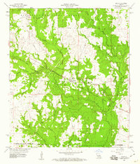 1959 Pitkin1960 Print · USGSLouisiana's piney woods and timber country are captured here at the end of the fifties as the modern road network began to expand. Genealogists can locate family landmarks like Mathis Cem, Simmons Mill Ch, and the rail stops along the Colorado and Santa Fe.4 unique versions available
 - 1986 Map of Ville Platte
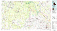 1986 Ville Platte1986 Print · USGSCentral Louisiana in the 1980s reveals a complex landscape of pine forests and bayou networks spanning seven distinct parishes. Researchers can trace historic rail lines like the Atchison Topeka and Santa Fe RR and locate settlements such as Simmons Settlement, Redland, and Elizabeth.2 unique versions available
 - 2003 Map of Pitkin, 2005 Print
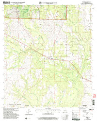 2003 Pitkin2005 Print · USGSThe northern edge of the Louisiana piney woods comes alive in this study of the Vernon Parish countryside. Researchers can trace the rural communities of Pitkin, Fullerton, and Dido alongside local landmarks like Crowder Cem and Mount Olive Ch.
 - 2012 Map of Pitkin, 2012 Print
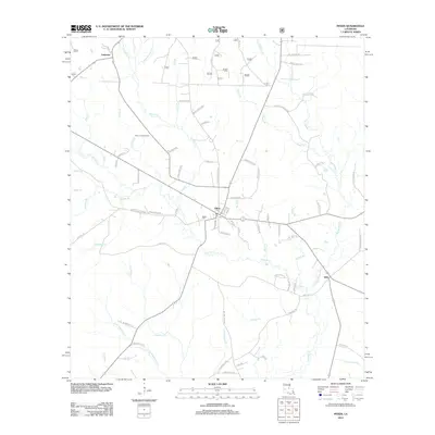 2012 Pitkin2012 Print · USGSThe piney woods of Vernon Parish are shown here in the early twenty-first century, centered on the community of Pitkin. Genealogists and local historians can trace family-named routes and find landmarks like Mathis Cem, the Pitkin Lookout Tower, and Dido.
 - 2015 Map of Pitkin, 2015 Print
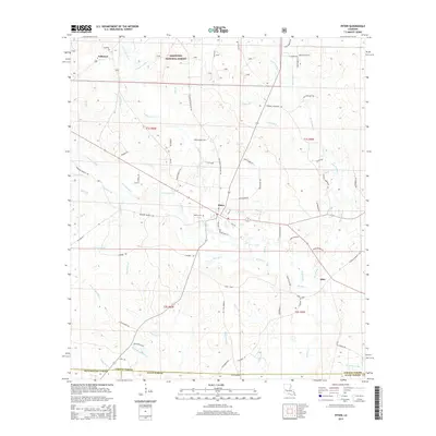 2015 Pitkin2015 Print · USGSIn this 2015 look at Vernon Parish, the crossroads of Pitkin and the timberlands of Kisatchie National Forest reveal a landscape shaped by rural commerce. Researchers can trace family connections through the Mathis Cemetery or follow the many branches of Sixmile Creek past Fullerton and Dido.
 - 2018 Map of Pitkin, 2018 Print
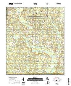 2018 Pitkin2018 Print · USGSCovers Fullerton, including Pitkin, Dido, and other nearby areas
 - 2020 Map of Pitkin, 2020 Print
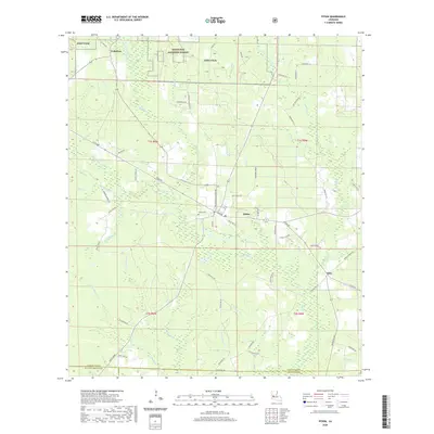 2020 Pitkin2020 Print · USGSVernon Parish at the start of the 2020s reveals a landscape of national forest and military reservation boundaries. Genealogists and local historians can trace family roots through landmarks like Mathis Cemetery, Hunts Farm, and the community of Dido.
 - 2024 Map of Pitkin, 2024 Print
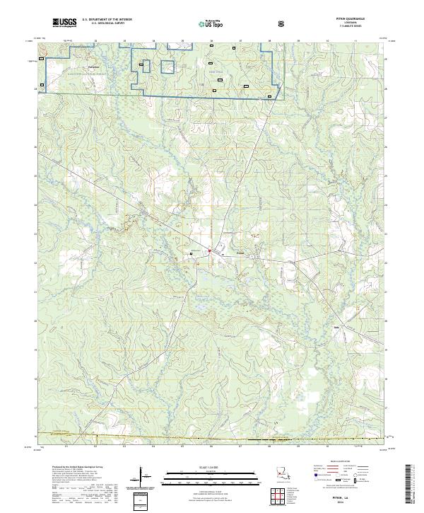 2024 Pitkin2024 Print · USGSSettlement and timberlands converge in Vernon Parish near Pitkin and the historical logging site of Fullerton. Researchers can trace old family footprints at Hunts Farm, locate the Mathis Cem, and follow the many branches of Sixmile Creek.
End of results
Showing maps 1-13 of 13
Top cities near Fullerton
Frequently asked questions
- What are the different types of historical maps available for Fullerton?
- What is the oldest map of Fullerton?
- Where can I purchase historical maps of Fullerton for my home or office?
- Where can I download high-res historical maps of Fullerton?
- Are there historical topographic maps available for Fullerton?
- Is there historical aerial imagery available for Fullerton?
- Where are historical maps of Fullerton sourced from?