2000s (21st Century) Maps of Springhill, Louisiana
Explore 10 historic maps of Springhill from the 2000s (21st Century). These maps offer a rare glimpse into what life looked like during the 2000s — showing old roads, neighborhoods, homes, and landmarks that have changed or disappeared over time.
Whether you're researching your family's past, planning a metal detecting trip, or studying how Springhill's landscape evolved across the 2000s, these high-resolution maps are a powerful tool for exploring the history of this region.
- Focus on a specific era: All maps on this page are from the 2000s, giving you a focused view of this time period.
- See what’s changed: Compare century-old streets, trails, and buildings to today's modern landscape using overlays and satellite layers.
- Research with precision: Use these maps for genealogy, historical research, land use analysis, or educational projects.
- View, download, or print: Maps are fully viewable online in high resolution, and can be downloaded or printed for your own records.
Start exploring Springhill's history through authentic maps from the 2000s. This is your window into the past.
Springhill, LA maps
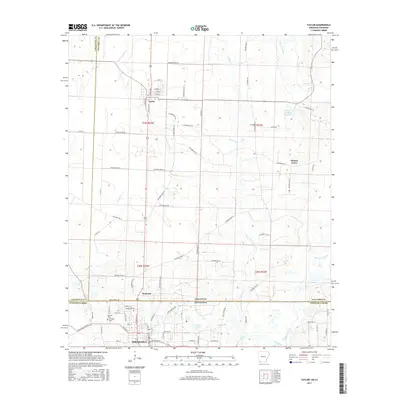
(10)- 2011 Map of Taylor, 2011 Print
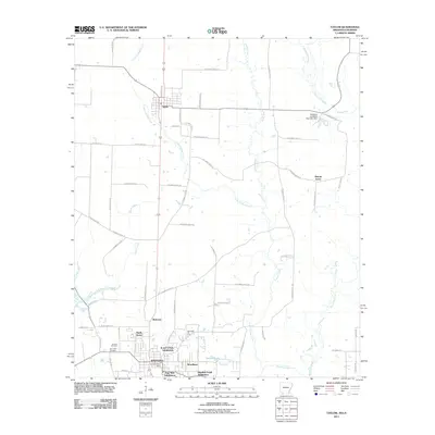 2011 Taylor2011 Print · USGSCovers Springhill, including Taylor, Walnut Grove, and other nearby areas
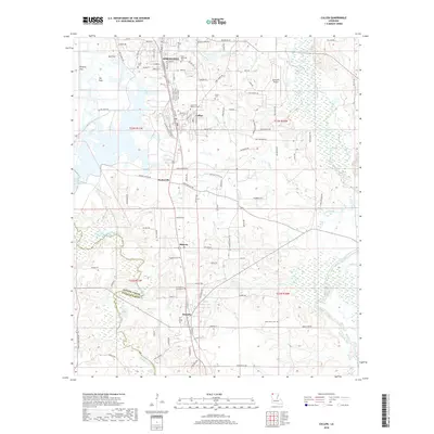
 - 2012 Map of Cullen, 2012 Print
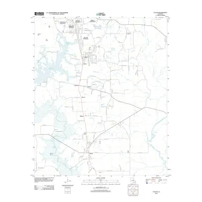 2012 Cullen2012 Print · USGSCovers Springhill, including Cullen, Sarepta, and other nearby areas
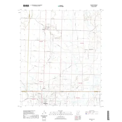
 - 2014 Map of Taylor, 2014 Print
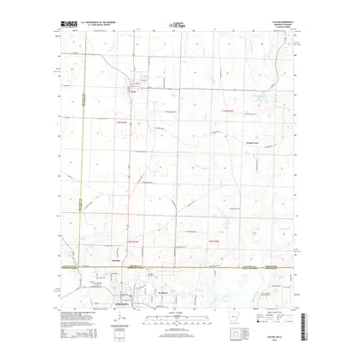 2014 Taylor2014 Print · USGSCovers Springhill, including Taylor, Walnut Grove, and other nearby areas
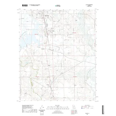
 - 2015 Map of Cullen, 2015 Print
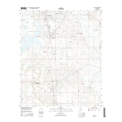 2015 Cullen2015 Print · USGSCovers Springhill, including Cullen, Sarepta, and other nearby areas
 - 2017 Map of Taylor, 2017 Print
 2017 Taylor2017 Print · USGSCovers Springhill, including Taylor, Walnut Grove, and other nearby areas
 - 2018 Map of Cullen, 2018 Print
 2018 Cullen2018 Print · USGSCovers Springhill, including Cullen, Sarepta, and other nearby areas
 - 2020 Map of Taylor, 2020 Print
 2020 Taylor2020 Print · USGSCovers Springhill, including Taylor, Walnut Grove, and other nearby areas
 - 2020 Map of Cullen, 2020 Print
 2020 Cullen2020 Print · USGSCovers Springhill, including Cullen, Sarepta, and other nearby areas
 - 2024 Map of Taylor, 2024 Print
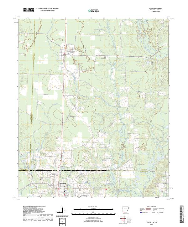 2024 Taylor2024 Print · USGSThe Arkansas-Louisiana borderlands come into focus in this contemporary survey of the corridor between Taylor and Springhill. Researchers can trace family sites at Taylor Memorial Cem and Saint Paul Cem, or follow the Kansas City Southern rail line.
 - 2024 Map of Cullen, 2024 Print
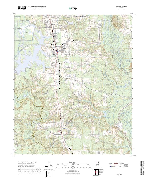 2024 Cullen2024 Print · USGSNorth Louisiana's timberlands and small-town centers are captured here in the contemporary era, spanning the border of Webster and Bossier Parishes. Genealogists can trace family heritage through numerous burial sites like Old Sarepta Church Cem, Hopewell Hendricks Cem, and Slack Memorial Cem.
End of results
Showing maps 1-10 of 10
Top cities near Springhill
- Cullen historical maps
- Cotton Valley historical maps
- Sarepta historical maps
- Taylor historical maps
- Bradley historical maps
- Shongaloo historical maps
Top neighborhoods of Springhill
- Pine Hill Subdivision historical maps
- Robin Hood Subdivision historical maps
- White Way Subdivision historical maps
- Lakewood Estates historical maps
- East Side Subdivision historical maps
- Woodlawn historical maps
See more
Frequently asked questions
- What are the different types of historical maps available for Springhill?
- What is the oldest map of Springhill?
- Where can I purchase historical maps of Springhill for my home or office?
- Where can I download high-res historical maps of Springhill?
- Are there historical topographic maps available for Springhill?
- Is there historical aerial imagery available for Springhill?
- Where are historical maps of Springhill sourced from?