Old Maps of Oak Grove, Louisiana for Academic Research
Study the evolution of Oak Grove with 27 high-resolution historic maps. Whether you're teaching, researching, or modeling changes in land use, these maps provide essential visual documentation of urban, environmental, and geographic change.
- Analyze long-term change: Track patterns in development, transportation, and natural features.
- Ideal for environmental or urban studies: Support academic projects with primary historical map data.
- Use in the classroom or lab: Educators and researchers rely on these maps to bring historical context to life.
These maps are a powerful tool for teaching, research, and visualizing how Oak Grove has changed over the decades.
Oak Grove, LA maps
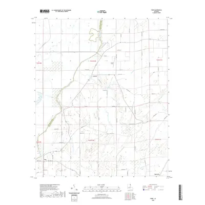
(27)- 1909 Map of Baxter Bayou
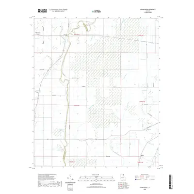
 1909 Baxter Bayou1909 Print · USGSLouisiana's delta country at the end of the first decade of the twentieth century shows a landscape tied to its winding waterways. Researchers can locate early river crossings and oxbows like Lanes Ferry Bridge, Corbins Ferry (Abandoned), and Johnson Lake.
 - 1911 Map of Baxter Bayou, 1961 Print
 1911 Baxter Bayou1961 Print · USGSLouisiana's Mississippi Delta region appears as a network of winding waterways and large agricultural estates just after the turn of the century. Trace the boundaries of Tompkins Plantation, find the Lickskillet School, or locate the abandoned Corbins Ferry along Macon Bayou.
 - 1914 Map of Baxter Bayou
 1914 Baxter Bayou1914 Print · USGSEast Carroll Parish in the early twentieth century is a landscape of expansive plantations and winding delta waterways. Family historians can trace ancestral lands at Tompkins Plantation or Bowie Plantation, and locate rural landmarks like Lickskillet School.2 unique versions available
 - 1935 Map of Oak Grove, 1938 Print
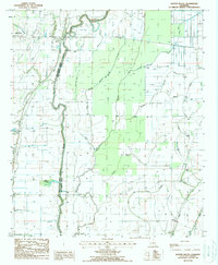
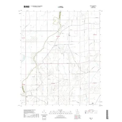
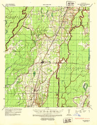 1935 Oak Grove1938 Print · USGSNortheastern Louisiana in the mid-1930s is mapped here at the height of its rail and timber era. Researchers can trace the El Bruce Co Logging Tramway, find the Hill Sch, and locate family sites near Oak Grove and Forest.
 - 1955 Map of Jackson
 1955 Jackson1955 Print · USGSThe Lower Mississippi Valley at the middle of the century reveals a landscape of deep river meanders and growing rail hubs. Genealogists and historians can trace the mid-century footprints of Vicksburg National Military Park, old river landings at Port Gibson, and the rail corridors of the Illinois Central Railroad.3 unique versions available
 - 1958 Map of Oak Grove
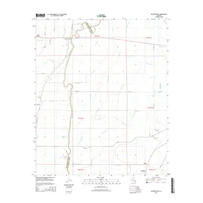
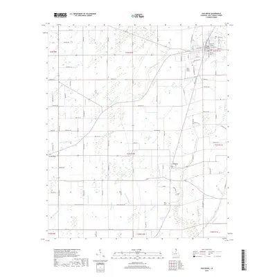
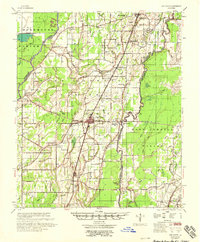 1958 Oak Grove1958 Print · USGSNortheast Louisiana in the late fifties is captured here as a landscape of bayous and railroad towns. Researchers can trace family history through numerous rural churches like Sardis Ch and Locust Grove Ch, or locate the historic Lanes Ferry crossing.
 - 1961 Map of Jackson
 1961 Jackson1961 Print · USGSThe Lower Mississippi Delta and the state capital area are captured here during the post-war era of infrastructure expansion. Researchers can trace the complex river oxbows and rail lines connecting Vicksburg, Yazoo City, and the Illinois Central Railroad network.
 - 1962 Map of Jackson
 1962 Jackson1962 Print · USGSThe Mississippi Delta and the state capital region are mapped here in the early sixties, showing a landscape defined by the great river and the growing city of JACKSON. Genealogists can trace family roots through numerous landmarks like Cedar Hill Cem, rural stops on the Illinois Central RR, and historic sites like Champion Hill.2 unique versions available
 - 1982 Map of Bastrop, 1983 Print
 1982 Bastrop1983 Print · USGSNortheastern Louisiana and the Mississippi River Delta are captured here in the early eighties as a landscape of bayous and river towns. Genealogists and historians can trace small communities like Mer Rouge and Oak Grove or the ancient terrain of Poverty Point State Park.
 - 1988 Map of Fiske
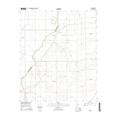
 1988 Fiske1988 Print · USGSThe West Carroll Parish bottomlands are shown in the late 1980s, revealing a landscape shaped by the Boeuf River and its intricate drainage canals. Genealogists and local historians can trace family locations near Concord, Fiske, and several local Cem sites.
 - 1988 Map of Oak Grove
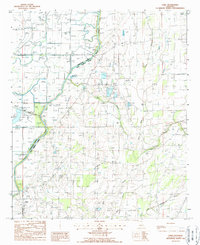
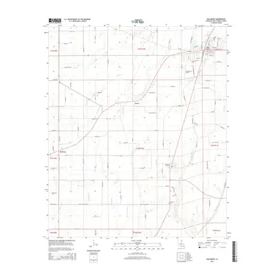
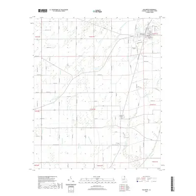
 1988 Oak Grove1988 Print · USGSNortheastern Louisiana in the late eighties is defined here by the agricultural hamlets and bayous of West Carroll Parish. Genealogists can trace family sites near Forest, Oak Grove, and Redwing, or follow the path of the Old Railroad Grade.
 - 1988 Map of Baxter Bayou
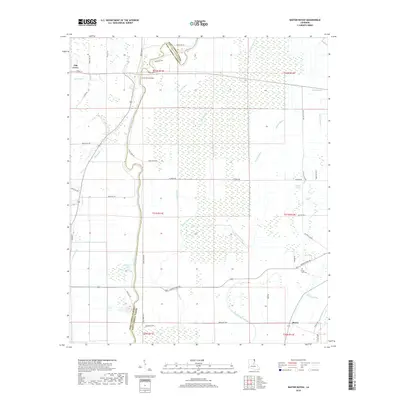
 1988 Baxter Bayou1988 Print · USGSThe parish line at Macon Bayou comes alive in the late 1980s, showcasing a landscape defined by its intricate waterways. Researchers can trace land near Oak Grove, find the site of Bowie, or study the natural features of Cockspur Lake and Cypress Brake.
 - 2012 Map of Baxter Bayou, 2012 Print
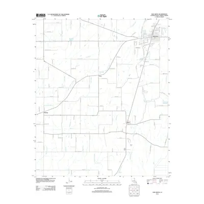
 2012 Baxter Bayou2012 Print · USGSCovers Oak Grove, including Bowie, Waddell, and other nearby areas
 - 2012 Map of Fiske, 2012 Print
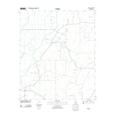 2012 Fiske2012 Print · USGSCovers Oak Grove, including Concord, Fiske, and other nearby areas
 - 2012 Map of Oak Grove, 2012 Print
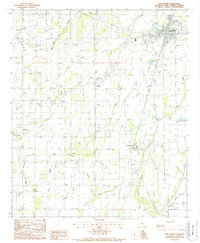
 2012 Oak Grove2012 Print · USGSCovers Oak Grove, including Forest, Redwing, and other nearby areas
 - 2015 Map of Baxter Bayou, 2015 Print
 2015 Baxter Bayou2015 Print · USGSCovers Oak Grove, including Bowie, Waddell, and other nearby areas
 - 2015 Map of Oak Grove, 2015 Print
 2015 Oak Grove2015 Print · USGSCovers Oak Grove, including Forest, Redwing, and other nearby areas
 - 2015 Map of Fiske, 2015 Print
 2015 Fiske2015 Print · USGSCovers Oak Grove, including Concord, Fiske, and other nearby areas
 - 2018 Map of Baxter Bayou, 2018 Print
 2018 Baxter Bayou2018 Print · USGSCovers Oak Grove, including Bowie, Waddell, and other nearby areas
 - 2018 Map of Fiske, 2018 Print
 2018 Fiske2018 Print · USGSCovers Oak Grove, including Concord, Fiske, and other nearby areas
 - 2018 Map of Oak Grove, 2018 Print
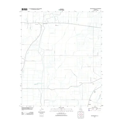
 2018 Oak Grove2018 Print · USGSCovers Oak Grove, including Forest, Redwing, and other nearby areas
 - 2020 Map of Oak Grove, 2020 Print
 2020 Oak Grove2020 Print · USGSCovers Oak Grove, including Forest, Redwing, and other nearby areas
 - 2020 Map of Baxter Bayou, 2020 Print
 2020 Baxter Bayou2020 Print · USGSCovers Oak Grove, including Bowie, Waddell, and other nearby areas
 - 2020 Map of Fiske, 2020 Print
 2020 Fiske2020 Print · USGSCovers Oak Grove, including Concord, Fiske, and other nearby areas
 - 2024 Map of Fiske, 2024 Print
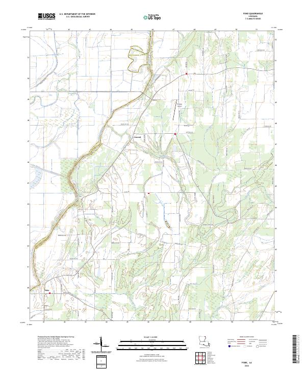 2024 Fiske2024 Print · USGSNorthern Louisiana at the start of the 2020s shows a landscape defined by its bayous and parish boundaries. Genealogists and researchers can locate Fiske, the Costello Airport, and the Boeuf River crossing.
Showing maps 1-25 of 27
Top cities near Oak Grove
- Lake Providence historical maps
- Wilmot historical maps
- Kilbourne historical maps
- Forest historical maps
- Pioneer historical maps
Frequently asked questions
- What are the different types of historical maps available for Oak Grove?
- What is the oldest map of Oak Grove?
- Where can I purchase historical maps of Oak Grove for my home or office?
- Where can I download high-res historical maps of Oak Grove?
- Are there historical topographic maps available for Oak Grove?
- Is there historical aerial imagery available for Oak Grove?
- Where are historical maps of Oak Grove sourced from?