2000s (21st Century) Maps of Beal Crossing, Louisiana
Explore 6 historic maps of Beal Crossing from the 2000s (21st Century). These maps offer a rare glimpse into what life looked like during the 2000s — showing old roads, neighborhoods, homes, and landmarks that have changed or disappeared over time.
Whether you're researching your family's past, planning a metal detecting trip, or studying how Beal Crossing's landscape evolved across the 2000s, these high-resolution maps are a powerful tool for exploring the history of this region.
- Focus on a specific era: All maps on this page are from the 2000s, giving you a focused view of this time period.
- See what’s changed: Compare century-old streets, trails, and buildings to today's modern landscape using overlays and satellite layers.
- Research with precision: Use these maps for genealogy, historical research, land use analysis, or educational projects.
- View, download, or print: Maps are fully viewable online in high resolution, and can be downloaded or printed for your own records.
Start exploring Beal Crossing's history through authentic maps from the 2000s. This is your window into the past.
Beal Crossing, LA maps
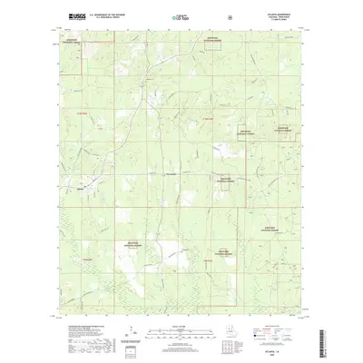
(6)- 2003 Map of Atlanta, 2005 Print
 2003 Atlanta2005 Print · USGSThe community of Atlanta and its surrounding timberlands are documented here at the start of the twenty-first century. Genealogists and researchers can locate family landmarks at Worsham Crossing, Sardis, and Beal Crossing within the Kisatchie National Forest.
 - 2012 Map of Atlanta, 2012 Print
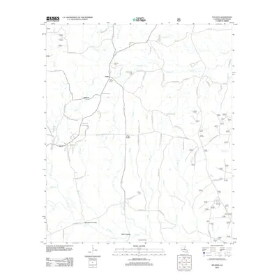 2012 Atlanta2012 Print · USGSCovers Beal Crossing, including Atlanta, Sardis, and other nearby areas
 - 2015 Map of Atlanta, 2015 Print
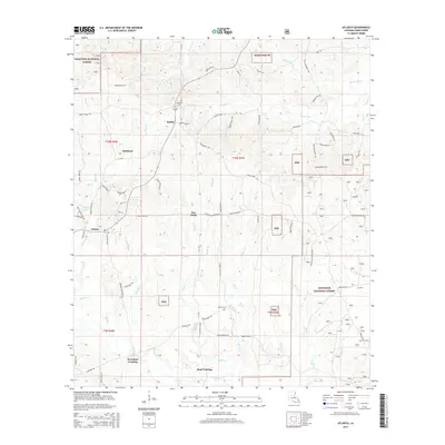 2015 Atlanta2015 Print · USGSCovers Beal Crossing, including Atlanta, Sardis, and other nearby areas
 - 2018 Map of Atlanta, 2018 Print
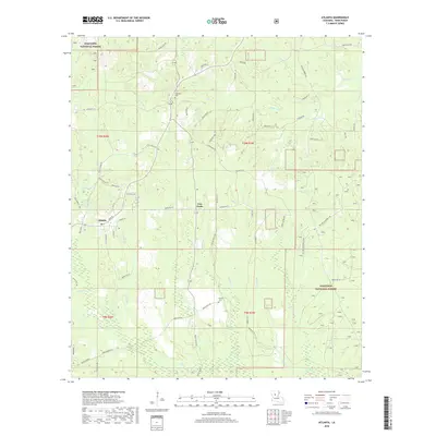 2018 Atlanta2018 Print · USGSCovers Beal Crossing, including Atlanta, Sardis, and other nearby areas
 - 2020 Map of Atlanta, 2020 Print
 2020 Atlanta2020 Print · USGSCovers Beal Crossing, including Atlanta, Sardis, and other nearby areas
 - 2024 Map of Atlanta, 2024 Print
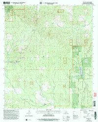
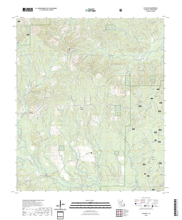 2024 Atlanta2024 Print · USGSLouisiana's Winn Parish is seen here in the modern era, where the town of Atlanta sits amidst the sprawling pine woods. Researchers can trace rural lineages through sites like Swindelly Cem or follow the winding courses of Sulphur Creek and Hill Bayou.
End of results
Showing maps 1-6 of 6
Top cities near Beal Crossing
- Winnfield historical maps
- Colfax historical maps
- Montgomery historical maps
- Dry Prong historical maps
- Pollock historical maps
- Calvin historical maps
See more
Frequently asked questions
- What are the different types of historical maps available for Beal Crossing?
- What is the oldest map of Beal Crossing?
- Where can I purchase historical maps of Beal Crossing for my home or office?
- Where can I download high-res historical maps of Beal Crossing?
- Are there historical topographic maps available for Beal Crossing?
- Is there historical aerial imagery available for Beal Crossing?
- Where are historical maps of Beal Crossing sourced from?