2000s (21st Century) Maps of Auburn, Maine
Explore 30 historic maps of Auburn from the 2000s (21st Century). These maps offer a rare glimpse into what life looked like during the 2000s — showing old roads, neighborhoods, homes, and landmarks that have changed or disappeared over time.
Whether you're researching your family's past, planning a metal detecting trip, or studying how Auburn's landscape evolved across the 2000s, these high-resolution maps are a powerful tool for exploring the history of this region.
- Focus on a specific era: All maps on this page are from the 2000s, giving you a focused view of this time period.
- See what’s changed: Compare century-old streets, trails, and buildings to today's modern landscape using overlays and satellite layers.
- Research with precision: Use these maps for genealogy, historical research, land use analysis, or educational projects.
- View, download, or print: Maps are fully viewable online in high resolution, and can be downloaded or printed for your own records.
Start exploring Auburn's history through authentic maps from the 2000s. This is your window into the past.
Auburn, ME maps
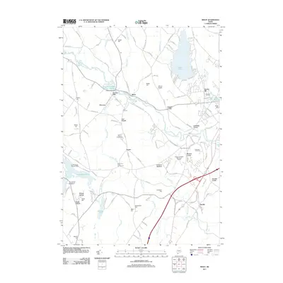
(30)- 2011 Map of North Pownal, 2011 Print
 2011 North Pownal2011 Print · USGSCovers Auburn, including Lisbon, Freeport, and other nearby areas
 - 2011 Map of Gray, 2011 Print
 2011 Gray2011 Print · USGSCovers Auburn, including Gray, Poland, and other nearby areas
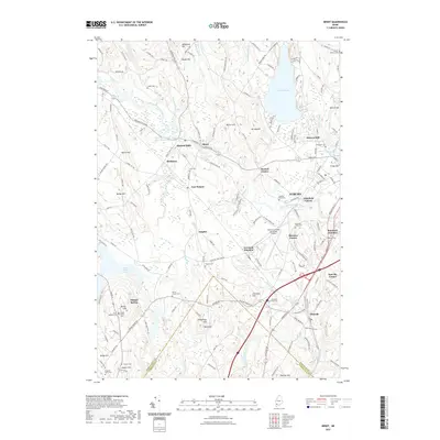
 - 2011 Map of Minot, 2011 Print
 2011 Minot2011 Print · USGSCovers Auburn, including Poland, New Gloucester, and other nearby areas
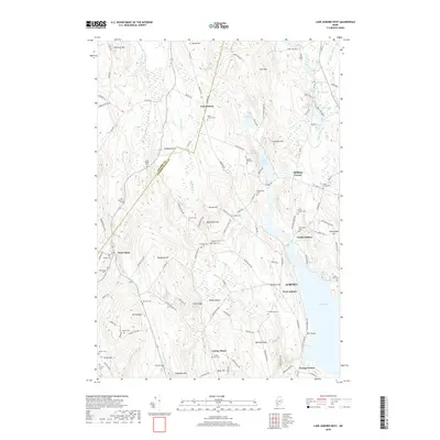
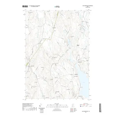
 - 2011 Map of Lake Auburn West, 2011 Print
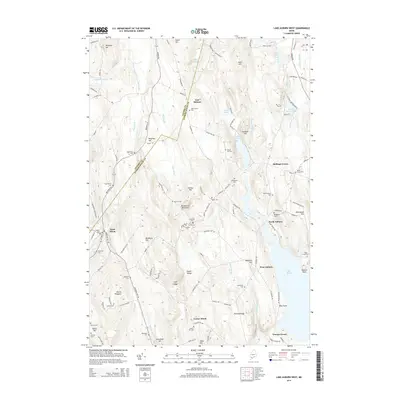
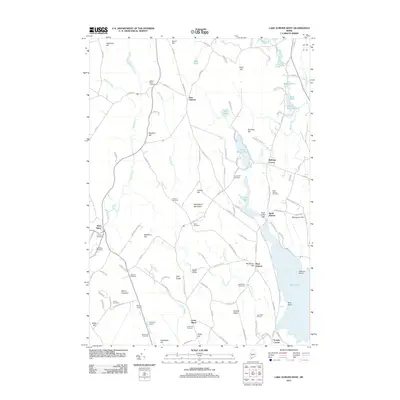 2011 Lake Auburn West2011 Print · USGSCovers Auburn, including Turner, Minot, and other nearby areas
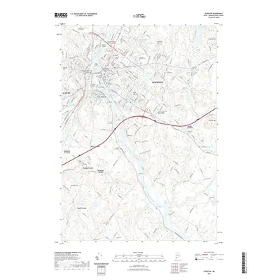
 - 2011 Map of Lewiston, 2011 Print
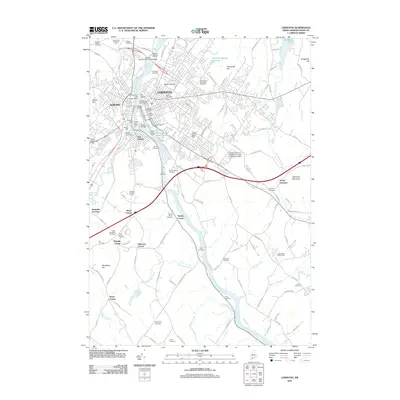 2011 Lewiston2011 Print · USGSCovers Auburn, including Lewiston, Lisbon, and other nearby areas
 - 2011 Map of Lake Auburn East, 2011 Print
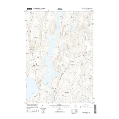
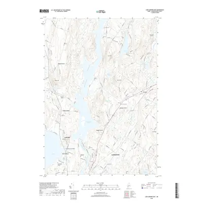
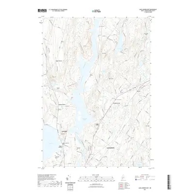
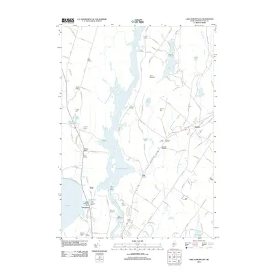 2011 Lake Auburn East2011 Print · USGSCovers Auburn, including Lewiston, Turner, and other nearby areas
 - 2014 Map of North Pownal, 2014 Print
 2014 North Pownal2014 Print · USGSCovers Auburn, including Lisbon, Freeport, and other nearby areas
 - 2014 Map of Gray, 2014 Print
 2014 Gray2014 Print · USGSCovers Auburn, including Gray, Poland, and other nearby areas
 - 2014 Map of Lake Auburn East, 2014 Print
 2014 Lake Auburn East2014 Print · USGSCovers Auburn, including Lewiston, Turner, and other nearby areas
 - 2014 Map of Minot, 2014 Print
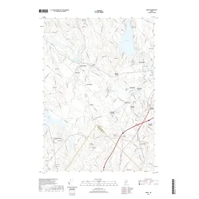
 2014 Minot2014 Print · USGSCovers Auburn, including Poland, New Gloucester, and other nearby areas
 - 2014 Map of Lake Auburn West, 2014 Print
 2014 Lake Auburn West2014 Print · USGSCovers Auburn, including Turner, Minot, and other nearby areas
 - 2014 Map of Lewiston, 2014 Print
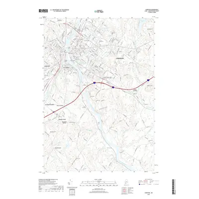
 2014 Lewiston2014 Print · USGSCovers Auburn, including Lewiston, Lisbon, and other nearby areas
 - 2018 Map of Gray, 2018 Print
 2018 Gray2018 Print · USGSCovers Auburn, including Gray, Poland, and other nearby areas
 - 2018 Map of North Pownal, 2018 Print
 2018 North Pownal2018 Print · USGSCovers Auburn, including Lisbon, Freeport, and other nearby areas
 - 2018 Map of Lake Auburn West, 2018 Print
 2018 Lake Auburn West2018 Print · USGSCovers Auburn, including Turner, Minot, and other nearby areas
 - 2018 Map of Lake Auburn East, 2018 Print
 2018 Lake Auburn East2018 Print · USGSCovers Auburn, including Lewiston, Turner, and other nearby areas
 - 2018 Map of Minot, 2018 Print
 2018 Minot2018 Print · USGSCovers Auburn, including Poland, New Gloucester, and other nearby areas
 - 2018 Map of Lewiston, 2018 Print
 2018 Lewiston2018 Print · USGSCovers Auburn, including Lewiston, Lisbon, and other nearby areas
 - 2021 Map of North Pownal, 2021 Print
 2021 North Pownal2021 Print · USGSCovers Auburn, including Lisbon, Freeport, and other nearby areas
 - 2021 Map of Lake Auburn West, 2021 Print
 2021 Lake Auburn West2021 Print · USGSCovers Auburn, including Turner, Minot, and other nearby areas
 - 2021 Map of Lake Auburn East, 2021 Print
 2021 Lake Auburn East2021 Print · USGSCovers Auburn, including Lewiston, Turner, and other nearby areas
 - 2021 Map of Lewiston, 2021 Print
 2021 Lewiston2021 Print · USGSCovers Auburn, including Lewiston, Lisbon, and other nearby areas
 - 2021 Map of Minot, 2021 Print
 2021 Minot2021 Print · USGSCovers Auburn, including Poland, New Gloucester, and other nearby areas
 - 2021 Map of Gray, 2021 Print
 2021 Gray2021 Print · USGSCovers Auburn, including Gray, Poland, and other nearby areas
 - 2024 Map of North Pownal, 2024 Print
 2024 North Pownal2024 Print · USGSCumberland County and Androscoggin County meet in this rural Maine landscape, where high ground and river bends define the settlement pattern. Genealogists can locate several historic burial grounds including Pownal Center Cem, Old Friends Cem, and Harmony Grove Cem.
Showing maps 1-25 of 30
Top cities near Auburn
- Lewiston historical maps
- Brunswick historical maps
- Windham historical maps
- Standish historical maps
- Lisbon historical maps
- Topsham historical maps
See more
Top neighborhoods of Auburn
- West Auburn historical maps
- Youngs Corner historical maps
- North Auburn historical maps
- Auburn Plains historical maps
- Danville historical maps
- Danville Corner historical maps
See more
Frequently asked questions
- What are the different types of historical maps available for Auburn?
- What is the oldest map of Auburn?
- Where can I purchase historical maps of Auburn for my home or office?
- Where can I download high-res historical maps of Auburn?
- Are there historical topographic maps available for Auburn?
- Is there historical aerial imagery available for Auburn?
- Where are historical maps of Auburn sourced from?