2000s (21st Century) Maps of Poland, Maine
Explore 20 historic maps of Poland from the 2000s (21st Century). These maps offer a rare glimpse into what life looked like during the 2000s — showing old roads, neighborhoods, homes, and landmarks that have changed or disappeared over time.
Whether you're researching your family's past, planning a metal detecting trip, or studying how Poland's landscape evolved across the 2000s, these high-resolution maps are a powerful tool for exploring the history of this region.
- Focus on a specific era: All maps on this page are from the 2000s, giving you a focused view of this time period.
- See what’s changed: Compare century-old streets, trails, and buildings to today's modern landscape using overlays and satellite layers.
- Research with precision: Use these maps for genealogy, historical research, land use analysis, or educational projects.
- View, download, or print: Maps are fully viewable online in high resolution, and can be downloaded or printed for your own records.
Start exploring Poland's history through authentic maps from the 2000s. This is your window into the past.
Poland, ME maps
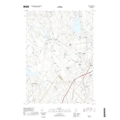
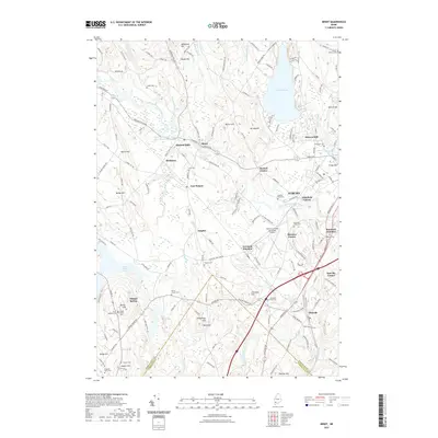
(20)- 2011 Map of Gray, 2011 Print
 2011 Gray2011 Print · USGSCovers Poland, including Auburn, Gray, and other nearby areas
 - 2011 Map of Raymond, 2011 Print
 2011 Raymond2011 Print · USGSCovers Poland, including Windham, Gray, and other nearby areas
 - 2011 Map of Minot, 2011 Print
 2011 Minot2011 Print · USGSCovers Poland, including Auburn, New Gloucester, and other nearby areas
 - 2011 Map of Mechanic Falls, 2011 Print
 2011 Mechanic Falls2011 Print · USGSCovers Poland, including New Gloucester, Raymond, and other nearby areas
 - 2014 Map of Raymond, 2014 Print
 2014 Raymond2014 Print · USGSCovers Poland, including Windham, Gray, and other nearby areas
 - 2014 Map of Gray, 2014 Print
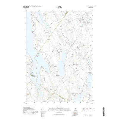
 2014 Gray2014 Print · USGSCovers Poland, including Auburn, Gray, and other nearby areas
 - 2014 Map of Mechanic Falls, 2014 Print
 2014 Mechanic Falls2014 Print · USGSCovers Poland, including New Gloucester, Raymond, and other nearby areas
 - 2014 Map of Minot, 2014 Print
 2014 Minot2014 Print · USGSCovers Poland, including Auburn, New Gloucester, and other nearby areas
 - 2018 Map of Raymond, 2018 Print
 2018 Raymond2018 Print · USGSCovers Poland, including Windham, Gray, and other nearby areas
 - 2018 Map of Gray, 2018 Print
 2018 Gray2018 Print · USGSCovers Poland, including Auburn, Gray, and other nearby areas
 - 2018 Map of Minot, 2018 Print
 2018 Minot2018 Print · USGSCovers Poland, including Auburn, New Gloucester, and other nearby areas
 - 2018 Map of Mechanic Falls, 2018 Print
 2018 Mechanic Falls2018 Print · USGSCovers Poland, including New Gloucester, Raymond, and other nearby areas
 - 2021 Map of Raymond, 2021 Print
 2021 Raymond2021 Print · USGSCovers Poland, including Windham, Gray, and other nearby areas
 - 2021 Map of Mechanic Falls, 2021 Print
 2021 Mechanic Falls2021 Print · USGSCovers Poland, including New Gloucester, Raymond, and other nearby areas
 - 2021 Map of Minot, 2021 Print
 2021 Minot2021 Print · USGSCovers Poland, including Auburn, New Gloucester, and other nearby areas
 - 2021 Map of Gray, 2021 Print
 2021 Gray2021 Print · USGSCovers Poland, including Auburn, Gray, and other nearby areas
 - 2024 Map of Raymond, 2024 Print
 2024 Raymond2024 Print · USGSCumberland County’s lake country is detailed here during its modern era, showcasing the complex shorelines of Sebago Lake and Panther Pond. Researchers can trace local lineage through several burial sites like Raymond Village Cem and the Elder Family Cem.
 - 2024 Map of Gray, 2024 Print
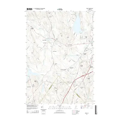
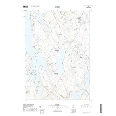
 2024 Gray2024 Print · USGSThe rural stretches of Cumberland County are shown here in the 2020s, centered on the crossroads of Gray Village and the historic Shaker Village. Genealogists and local historians can trace family plots at Lower Corner Cem and explore the surroundings of Sabbathday Pond and Crystal Lake.
 - 2024 Map of Minot, 2024 Print
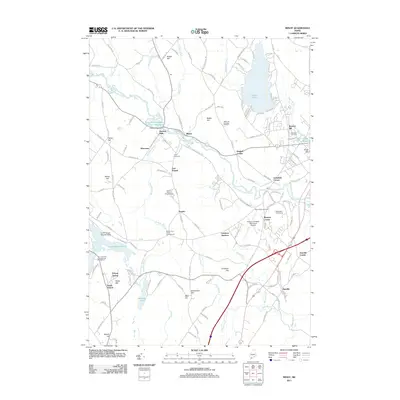
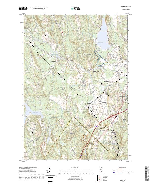 2024 Minot2024 Print · USGSAndroscoggin County is shown in detail during the early twenty-first century, revealing a landscape shaped by river-driven industry and historic family settlements. Researchers can locate numerous burial sites and crossroads like the Shaker Cem, Empire Cem, and Hackett Mills.
 - 2024 Map of Mechanic Falls, 2024 Print
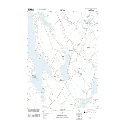
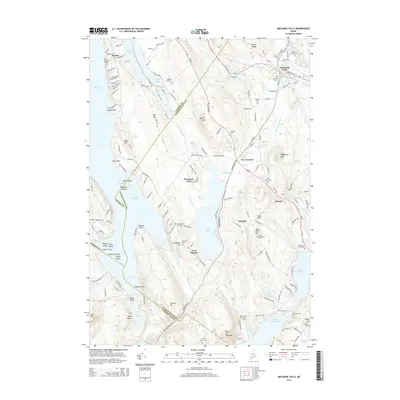
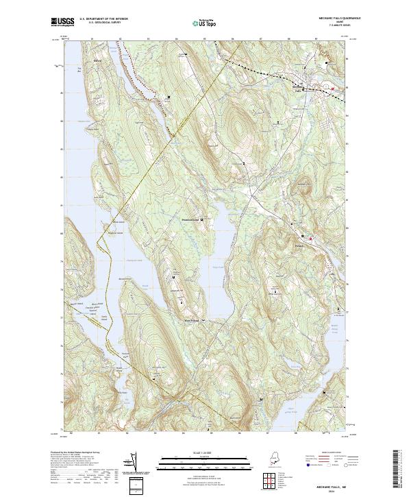 2024 Mechanic Falls2024 Print · USGSAndroscoggin and Oxford counties meet in this lakeside landscape where family heritage and modern geography intersect. Genealogists can trace family footprints across numerous sites like the Amos Estes Family Cem, Old Megquier Hill Cem, and Henry Tenny Cem.
End of results
Showing maps 1-20 of 20
Top cities near Poland
- Lewiston historical maps
- Auburn historical maps
- Windham historical maps
- Standish historical maps
- Yarmouth historical maps
- Freeport historical maps
See more
Top neighborhoods of Poland
- West Poland historical maps
- Hackett Mills historical maps
- Moussam historical maps
- South Poland historical maps
- Empire historical maps
- Oak Hill historical maps
See more
Frequently asked questions
- What are the different types of historical maps available for Poland?
- What is the oldest map of Poland?
- Where can I purchase historical maps of Poland for my home or office?
- Where can I download high-res historical maps of Poland?
- Are there historical topographic maps available for Poland?
- Is there historical aerial imagery available for Poland?
- Where are historical maps of Poland sourced from?