2000s (21st Century) Maps of Amity, Maine
Explore 20 historic maps of Amity from the 2000s (21st Century). These maps offer a rare glimpse into what life looked like during the 2000s — showing old roads, neighborhoods, homes, and landmarks that have changed or disappeared over time.
Whether you're researching your family's past, planning a metal detecting trip, or studying how Amity's landscape evolved across the 2000s, these high-resolution maps are a powerful tool for exploring the history of this region.
- Focus on a specific era: All maps on this page are from the 2000s, giving you a focused view of this time period.
- See what’s changed: Compare century-old streets, trails, and buildings to today's modern landscape using overlays and satellite layers.
- Research with precision: Use these maps for genealogy, historical research, land use analysis, or educational projects.
- View, download, or print: Maps are fully viewable online in high resolution, and can be downloaded or printed for your own records.
Start exploring Amity's history through authentic maps from the 2000s. This is your window into the past.
Amity, ME maps
(20)- 2011 Map of Haynesville, 2011 Print
 2011 Haynesville2011 Print · USGSCovers Amity, including Weston, Orient, and other nearby areas
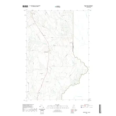
 - 2011 Map of North Amity, 2011 Print
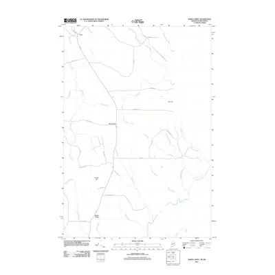 2011 North Amity2011 Print · USGSCovers Amity, including Cary Township, County, and other nearby areas
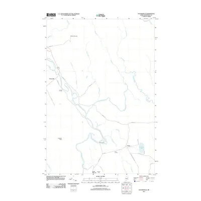
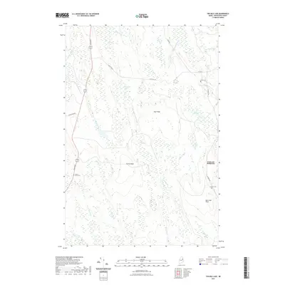
 - 2011 Map of Ten Mile Lake, 2011 Print
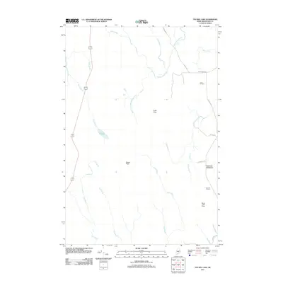 2011 Ten Mile Lake2011 Print · USGSCovers Amity, including Linneus, Cary Township, and other nearby areas
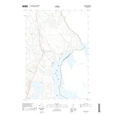
 - 2011 Map of Orient, 2011 Print
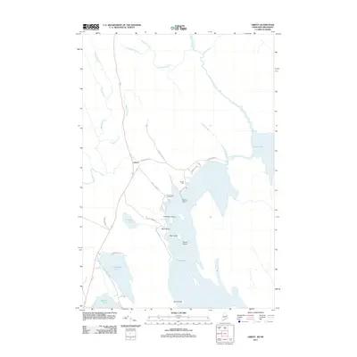 2011 Orient2011 Print · USGSCovers Amity, including Weston, Orient, and other nearby areas
 - 2014 Map of North Amity, 2014 Print
 2014 North Amity2014 Print · USGSCovers Amity, including Cary Township, County, and other nearby areas
 - 2014 Map of Haynesville, 2014 Print
 2014 Haynesville2014 Print · USGSCovers Amity, including Weston, Orient, and other nearby areas
 - 2014 Map of Ten Mile Lake, 2014 Print
 2014 Ten Mile Lake2014 Print · USGSCovers Amity, including Linneus, Cary Township, and other nearby areas
 - 2014 Map of Orient, 2014 Print
 2014 Orient2014 Print · USGSCovers Amity, including Weston, Orient, and other nearby areas
 - 2018 Map of Haynesville, 2018 Print
 2018 Haynesville2018 Print · USGSCovers Amity, including Weston, Orient, and other nearby areas
 - 2018 Map of Ten Mile Lake, 2018 Print
 2018 Ten Mile Lake2018 Print · USGSCovers Amity, including Linneus, Cary Township, and other nearby areas
 - 2018 Map of North Amity, 2018 Print
 2018 North Amity2018 Print · USGSCovers Amity, including Cary Township, County, and other nearby areas
 - 2018 Map of Orient, 2018 Print
 2018 Orient2018 Print · USGSCovers Amity, including Weston, Orient, and other nearby areas
 - 2021 Map of Haynesville, 2021 Print
 2021 Haynesville2021 Print · USGSCovers Amity, including Weston, Orient, and other nearby areas
 - 2021 Map of North Amity, 2021 Print
 2021 North Amity2021 Print · USGSCovers Amity, including Cary Township, County, and other nearby areas
 - 2021 Map of Ten Mile Lake, 2021 Print
 2021 Ten Mile Lake2021 Print · USGSCovers Amity, including Linneus, Cary Township, and other nearby areas
 - 2021 Map of Orient, 2021 Print
 2021 Orient2021 Print · USGSCovers Amity, including Weston, Orient, and other nearby areas
 - 2024 Map of North Amity, 2024 Print
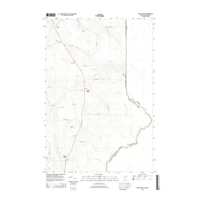
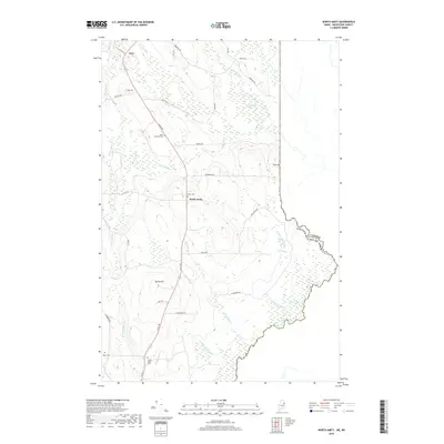
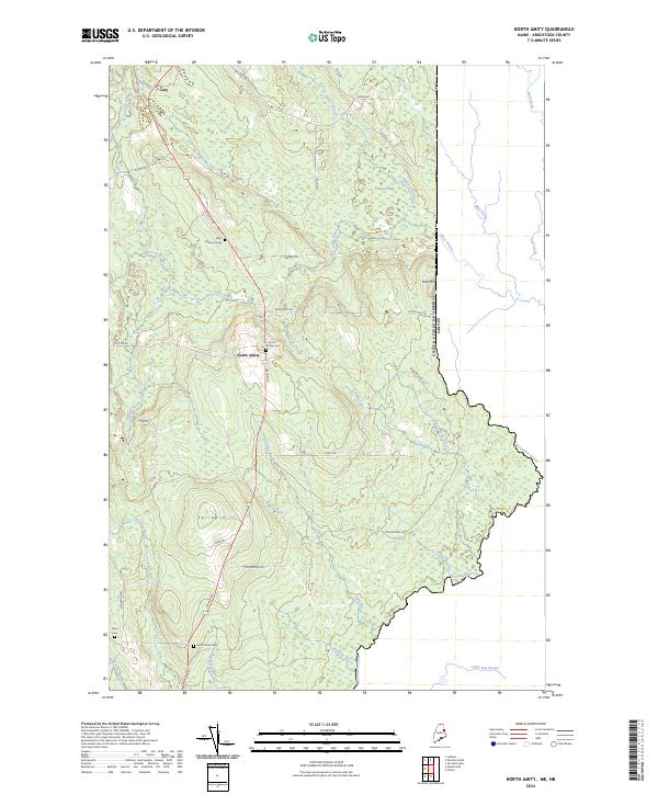 2024 North Amity2024 Print · USGSMaine's eastern borderlands are captured here in the contemporary era, centered on the rural settlements of North Amity and Cary. Genealogists and local historians can trace burial grounds like Saint Monicas Cem and the international boundary along Monument Brook.
 - 2024 Map of Haynesville, 2024 Print
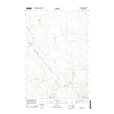
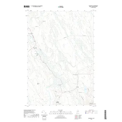
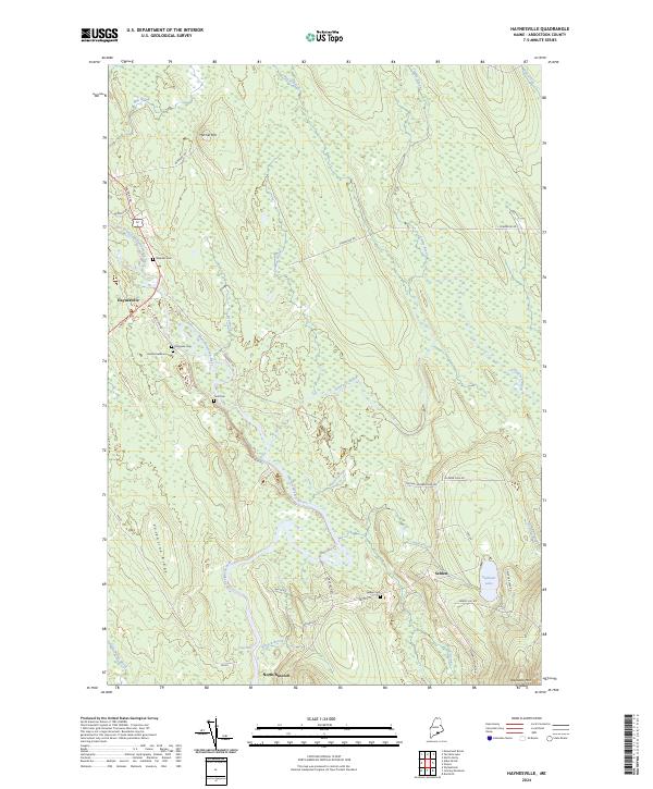 2024 Haynesville2024 Print · USGSAroostook County's river valleys and timberlands are well-documented here in the early twenty-first century. Genealogists can trace family footprints at Blaisdell Cem and Selden Cem, while following the historic Military Rd through Haynesville.
 - 2024 Map of Orient, 2024 Print
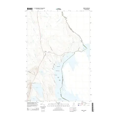
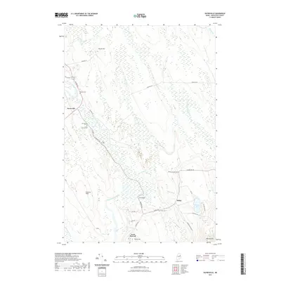
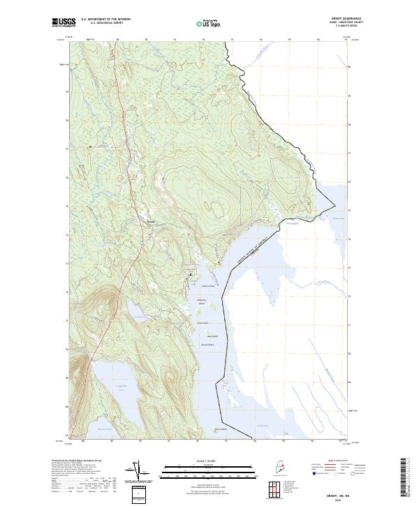 2024 Orient2024 Print · USGSThe international borderlands of eastern Maine come into sharp focus here at the edge of the Canadian wilderness. Genealogists and researchers can trace the vicinity of Orient and local family history at Peters Cove Cem along the shores of Grand Lake.
 - 2024 Map of Ten Mile Lake, 2024 Print
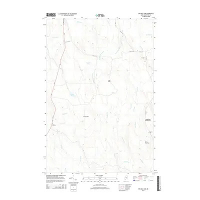
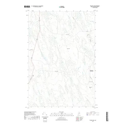
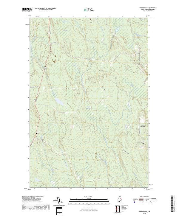 2024 Ten Mile Lake2024 Print · USGSAroostook County's interior landscape is shown here in the 2020s, dominated by the ridges and waterways of the Meduxnekeag watershed. Genealogists can locate family-named markers like the Estabrook Settlement, Wilcox Cem, and the specific Hiram T Smith Grave.
End of results
Showing maps 1-20 of 20
Top cities near Amity
- Houlton historical maps
- Hodgdon historical maps
- Linneus historical maps
- Oakfield historical maps
- New Limerick historical maps
- Smyrna historical maps
See more
Top neighborhoods of Amity
Frequently asked questions
- What are the different types of historical maps available for Amity?
- What is the oldest map of Amity?
- Where can I purchase historical maps of Amity for my home or office?
- Where can I download high-res historical maps of Amity?
- Are there historical topographic maps available for Amity?
- Is there historical aerial imagery available for Amity?
- Where are historical maps of Amity sourced from?