Old Maps of Big Twenty Township, Maine
Explore 38 old maps of Big Twenty Township, spanning from 1955 to today. These high-resolution historic maps reveal how streets, neighborhoods, landmarks, and natural features evolved over time — perfect for genealogy, metal detecting, research, and local history exploration.
What you can do with these maps:
- See how Big Twenty Township changed over time: Compare historical maps to modern-day views to trace roads, homesites, rail lines & more.
- View detailed metadata: Each map includes creators, publishers, year, scale, and archive source.
- Overlay maps with satellite & LiDAR: Visualize the past alongside modern tools to explore terrain & human change.
- Trusted historical sources: Maps sourced from the USGS, Library of Congress, and other archives.
- Access maps your way: View online, download high-res files, or order prints for personal or research use.
Start exploring old maps of Big Twenty Township to uncover forgotten places, hidden landmarks, and the deep history beneath your feet.
Big Twenty Township, ME maps
(38)- 1955 Map of Rocky Brook, 1956 Print
 1955 Rocky Brook1956 Print · USGSThe international border in northern Aroostook County is captured here in the mid-1950s, showing a remote landscape of logging roads and rivers. Researchers can trace the winding Little Black River and locate seasonal landmarks like Rideout Pond and the Jeep Trail network.2 unique versions available
 - 1955 Map of Beau Lake, 1956 Print
 1955 Beau Lake1956 Print · USGSThe Aroostook County borderlands are shown in the mid-fifties at the transition between Maine and Quebec. Researchers can trace the international line through Estcourt, locate the Customs Office, and follow old logging routes past Beau Lake and Kelly Rapids.2 unique versions available
 - 1962 Map of Edmundston, 1966 Print
 1962 Edmundston1966 Print · USGSThe international borderlands of northern Maine and Canada come alive here during the early sixties, centered on the river-and-rail economies of the day. Genealogists and historians can trace the paths of the Bangor and Aroostook railroad through river towns like Fort Kent and St Agatha.2 unique versions available
 - 1986 Map of Landry, 1987 Print
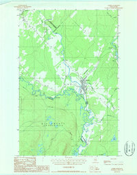 1986 Landry1987 Print · USGSThe Maine-Quebec borderlands come into focus in this mid-eighties survey of the north woods and the St. Francis River. Local historians can trace the international frontier through settlements like Landry and Rivière-Bleue or locate family landmarks near Lac à Jos and Pied-du-Lac.
 - 1987 Map of Beau Lake
 1987 Beau Lake1987 Print · USGSThe northern reaches of the Maine-Canada border are defined by the winding Beau Lake St Francis River in the late eighties. Researchers can trace the wild landscape of the St. John Valley through landmarks like Cross Lake Mountain and Cross Lake Rapids.
 - 1987 Map of Hafey Pond
 1987 Hafey Pond1987 Print · USGSAroostook County's timberlands are shown in the late twentieth century as a landscape of resource extraction and remote water bodies. Researchers can trace forest access routes and geographic landmarks like Hafey Pond, Boat Landing Mountain, and a local Gravel Pit.
 - 1987 Map of Saint-Eleuthere
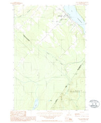 1987 Saint-Eleuthere1987 Print · USGSThe international boundary between Québec and Maine is captured here in the late eighties, centered on the settlement of Saint-Éleuthère. Researchers can trace the layout of the town's Hospital and Cim or follow the PRIVATE ROAD into the Maine woods near Lac Landry.
 - 1987 Map of Estcourt
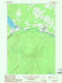 1987 Estcourt1987 Print · USGSIn the remote Maine north woods during the late 1980s, the international border is more than just a line. Genealogists and local historians can trace the interconnected settlements of Estcourt and Sully along the St Francis River and Lac Pohénégamook.
 - 1987 Map of Rocky Brook
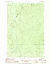 1987 Rocky Brook1987 Print · USGSThe international borderlands of northern Maine were a busy timber frontier in the late 1980s, shaped by rivers and private logging roads. Researchers can trace the hydrology and industrial access points along the Little Black River, from Lac Packington down to Rideout Pond.
 - 1993 Map of Allagash, 1994 Print
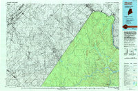 1993 Allagash1994 Print · USGSThe Maine-Quebec borderlands in the early nineties show a landscape of deep timber and international riverways. Researchers can trace the remote settlements of Allagash and Dickey or locate historic river features like Castonia Rapids and Beau Lake.
 - 2011 Map of Saint Eleuthere, 2011 Print
 2011 Saint Eleuthere2011 Print · USGSThe Maine-Quebec borderland comes into focus in this early twenty-first-century survey of the north woods frontier. Researchers can trace the essential transit routes of this remote boundary area, including Estcourt Rd and Rocky Brook Rd.
 - 2011 Map of Rocky Brook, 2011 Print
 2011 Rocky Brook2011 Print · USGSThe northern reaches of the Maine-Quebec borderlands are documented here in the early twenty-first century, showcasing a landscape of dense timber and remote waterways. Researchers can trace the courses of Rocky Brook and the Little Black River alongside backcountry routes like Rocky Brook Rd.
 - 2011 Map of Hafey Pond, 2011 Print
 2011 Hafey Pond2011 Print · USGSBig Twenty Township in northern Maine remains a wilderness of timber and water as it appeared in the early twenty-first century. Outdoorsmen and surveyors can trace the remote drainage of Dead Brook and locate landmarks like Hafey Mountain and Hafey Pond.
 - 2011 Map of Landry, 2011 Print
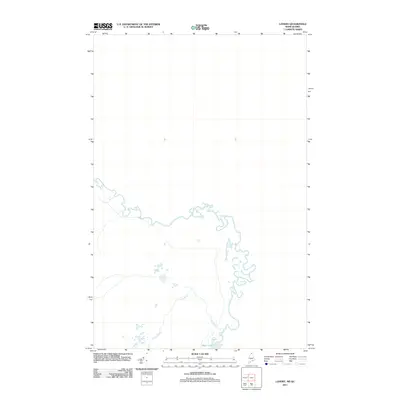 2011 Landry2011 Print · USGSBig Twenty Township remains a remote wilderness at the Maine-Quebec border in the early twenty-first century. Researchers of the North Woods can trace the winding course of Jones Brook as it feeds into the prominent waters of Beau Lake.
 - 2011 Map of Estcourt, 2011 Print
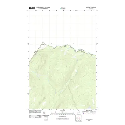 2011 Estcourt2011 Print · USGSCovers Big Twenty Township, including Estcourt Station, Sully, and other nearby areas
 - 2011 Map of Beau Lake, 2011 Print
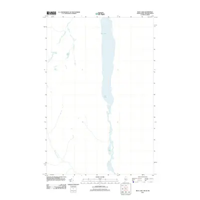 2011 Beau Lake2011 Print · USGSBig Twenty Township is shown here at the northern border of Maine during the early 2000s, where the landscape is defined by the international waters of Beau Lake. Researchers can trace the narrow passage from Beau Lake south into Cross Lake and Glazier Lake.
 - 2014 Map of Beau Lake, 2014 Print
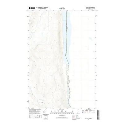 2014 Beau Lake2014 Print · USGSThe northern reaches of Aroostook County meet the Canadian border in this 2014 survey of the St. Francis River valley. Trace the international boundary through Beau Lake and Cross Lake Rapids, or follow remote tracks like Red Camp Rd through the deep woods.
 - 2014 Map of Saint Eleuthere, 2014 Print
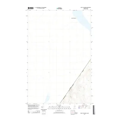 2014 Saint Eleuthere2014 Print · USGSThe international border between Quebec and Maine is captured here in the early twenty-first century, showing the remote forest lands of the north. Genealogists and researchers can trace the diagonal boundary through Aroostook Co and locate the settlement of Saint Eleuthere near Estcourt Rd.
 - 2014 Map of Rocky Brook, 2014 Print
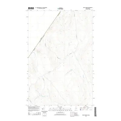 2014 Rocky Brook2014 Print · USGSThe Maine-Quebec borderlands in the early twenty-first century are defined by logging routes and river systems. Trace the winding Little Black River and its branches near Estcourt Rd, along with features like Rideout Pond and Beaver Brook Rd.
 - 2014 Map of Hafey Pond, 2014 Print
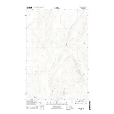 2014 Hafey Pond2014 Print · USGSBig Twenty Township is shown here in the early 21st century, dominated by the peaks and drainages of the North Maine Woods. Researchers can trace the network of forest routes like Landry Rd and Red Camp Rd to reach Hafey Pond and Boat Landing Mtn.
 - 2014 Map of Landry, 2014 Print
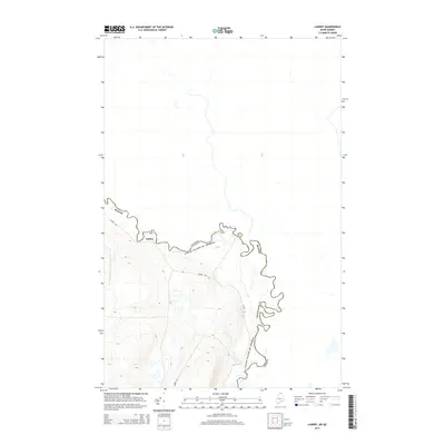 2014 Landry2014 Print · USGSThe Maine-Quebec frontier is documented in detail during the early 2010s, focusing on the isolated settlement of Landry. Researchers can trace the rugged international boundary line along Kelly Rapids and follow the route of Landry Rd through the woods.
 - 2014 Map of Estcourt, 2014 Print
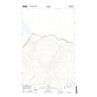 2014 Estcourt2014 Print · USGSThe northern edge of the Maine woods meets the Canadian border in this 2014 survey of northern Aroostook County. Researchers can trace the remote settlement of Estcourt and follow the paths of Dead Brook and Airport Rd through the forest.
 - 2018 Map of Rocky Brook, 2018 Print
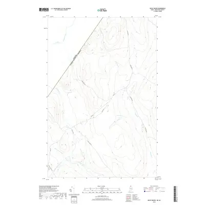 2018 Rocky Brook2018 Print · USGSThe international border between Maine and Quebec defines this northwoods landscape as it appeared in recent years. Researchers can trace remote logging routes like Rocky Brook Rd and follow the winding courses of the Little Black River and Rideout Pond.
 - 2018 Map of Hafey Pond, 2018 Print
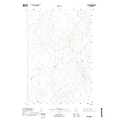 2018 Hafey Pond2018 Print · USGSBig Twenty Township in the late twenty-teens remains a remote timberland frontier in northern Maine. Researchers can trace the rugged logging infrastructure of Estcourt Rd and identify natural landmarks like Hafey Pond and Boat Landing Mtn.
 - 2018 Map of Landry, 2018 Print
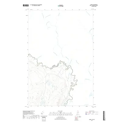 2018 Landry2018 Print · USGSThe international borderlands of northern Maine and Quebec are defined here by the winding Saint Francis River and its timbered shores. Researchers can trace the hydrography of this remote region through named features like Kelly Rapids, Beau Lake, and Rivière Bleue.
Showing maps 1-25 of 38
Top cities near Big Twenty Township
Top neighborhoods of Big Twenty Township
Frequently asked questions
- What are the different types of historical maps available for Big Twenty Township?
- What is the oldest map of Big Twenty Township?
- Where can I purchase historical maps of Big Twenty Township for my home or office?
- Where can I download high-res historical maps of Big Twenty Township?
- Are there historical topographic maps available for Big Twenty Township?
- Is there historical aerial imagery available for Big Twenty Township?
- Where are historical maps of Big Twenty Township sourced from?