
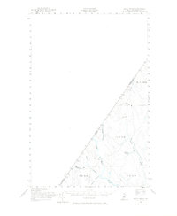
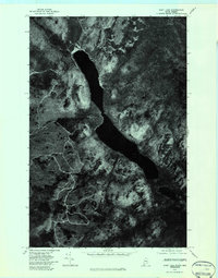
1955 Map of Rocky Brook
USGS Topo · Published 1956About this map
The Canada United States border defines the character of this mid-century survey, slicing diagonally through the northern Maine woods. This is a landscape of complex hydrology where the Little Black River and its numerous tributaries, including Beaver Branch and the West Branch, drain toward the southeast. The area is distinctly remote, marked by a network of Private roads and Jeep Trails rather than established towns, reflecting the region's historical reliance on seasonal logging and specialized transit. The boundary between Quebec Maine and Kamouraska Co Aroostook Co is meticulously documented with numbered markers, providing a precise record of the international line in the 1950s. Interior features like Rideout Pond and Rocky Brook offer specific points of reference for researchers tracing the primitive transport routes and drainage patterns of the upper St. John River watershed.
Find a feature on this map
16 named features on this map. Tap any name to fly to it.
Don’t see what you’re looking for? This feature index may not catch every label — zoom into the map to look around manually.
Map Details
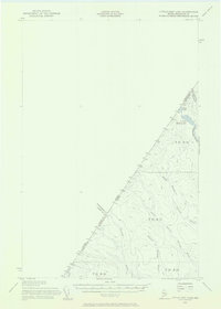
Editions of this 1955 Rocky Brook Map
2 editions found
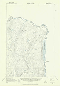
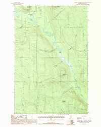
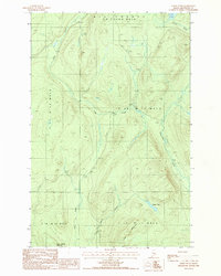
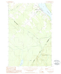
Other maps of this area

1930 · Allagash
USGS Topo · 1:48,000

1933 · Allagash
USGS Topo · 1:62,500
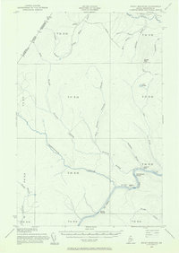
1955 · Rocky Mountain
USGS Topo · 1:62,500
1955 · Little East Lake
USGS Topo · 1:62,500
1955 · Beau Lake
USGS Topo · 1:62,500

1962 · Edmundston
USGS Topo · 1:250,000
1976 · East Lake
USGS Topo · 1:24,000
1987 · Johnson Brook Mountain
USGS Topo · 1:24,000
1987 · Hafey Pond
USGS Topo · 1:24,000
1987 · Saint-Eleuthere
USGS Topo · 1:24,000