Old Maps of T18 R13 WELS, Maine
Explore 36 old maps of T18 R13 WELS, spanning from 1955 to today. These high-resolution historic maps reveal how streets, neighborhoods, landmarks, and natural features evolved over time — perfect for genealogy, metal detecting, research, and local history exploration.
What you can do with these maps:
- See how T18 R13 WELS changed over time: Compare historical maps to modern-day views to trace roads, homesites, rail lines & more.
- View detailed metadata: Each map includes creators, publishers, year, scale, and archive source.
- Overlay maps with satellite & LiDAR: Visualize the past alongside modern tools to explore terrain & human change.
- Trusted historical sources: Maps sourced from the USGS, Library of Congress, and other archives.
- Access maps your way: View online, download high-res files, or order prints for personal or research use.
Start exploring old maps of T18 R13 WELS to uncover forgotten places, hidden landmarks, and the deep history beneath your feet.
T18 R13 WELS, ME maps
(36)- 1955 Map of Rocky Mountain
 1955 Rocky Mountain1955 Print · USGSThe Aroostook County wilderness in the mid-1950s is defined here by the winding St John River and the international boundary with Canada. Researchers can locate logging outposts like Campbell Depot Camp and riverside landmarks such as Schoolhouse Rapids and Ouellette Farm.3 unique versions available
 - 1955 Map of Little East Lake
 1955 Little East Lake1955 Print · USGSUpper Aroostook County’s wilderness is mapped here during the mid-fifties, showing the rugged timberlands along the Quebec border. Researchers can trace the isolated drainage of Little East Lake and the logging routes following Pocwock Stream and Fivemile Brook.3 unique versions available
 - 1955 Map of Rocky Brook, 1956 Print
 1955 Rocky Brook1956 Print · USGSThe international border in northern Aroostook County is captured here in the mid-1950s, showing a remote landscape of logging roads and rivers. Researchers can trace the winding Little Black River and locate seasonal landmarks like Rideout Pond and the Jeep Trail network.2 unique versions available
 - 1962 Map of Edmundston, 1966 Print
 1962 Edmundston1966 Print · USGSThe international borderlands of northern Maine and Canada come alive here during the early sixties, centered on the river-and-rail economies of the day. Genealogists and historians can trace the paths of the Bangor and Aroostook railroad through river towns like Fort Kent and St Agatha.2 unique versions available
 - 1976 Map of East Lake, 1983 Print
 1976 East Lake1983 Print · USGSCovers T18 R13 WELS, including T17 R14 WELS, Picard, and other nearby areas
 - 1987 Map of Morrison Brook
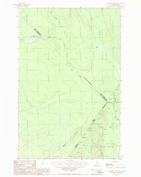 1987 Morrison Brook1987 Print · USGSAroostook County's northern boundary is traced during the late twentieth century in this detailed survey of the international borderlands. Researchers can follow remote logging roads through T 18 R 13 Wels and map the drainages of the Little Black River and Morrison Brook.
 - 1987 Map of Rocky Mountain
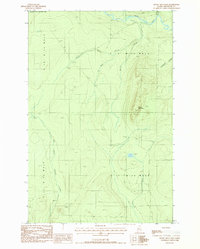 1987 Rocky Mountain1987 Print · USGSThe North Maine Woods are captured in the late 1980s, showing a landscape of timber management and remote waterways. Trace the old logging trails near Rocky Mountain or follow the banks of the Little Black River and Fox Pond.
 - 1987 Map of Rocky Mtn NW
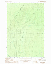 1987 Rocky Mtn NW1987 Print · USGSThe Maine and Quebec borderlands come into focus in the late 1980s, documenting a remote timber-producing region of Aroostook County. Researchers can trace the flow of the Pocwock Stream, locate the Gravel Pits, and find landmarks like Campbell.
 - 1987 Map of Rocky Brook
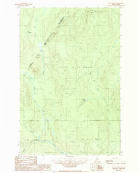 1987 Rocky Brook1987 Print · USGSThe international borderlands of northern Maine were a busy timber frontier in the late 1980s, shaped by rivers and private logging roads. Researchers can trace the hydrology and industrial access points along the Little Black River, from Lac Packington down to Rideout Pond.
 - 1987 Map of East Lake
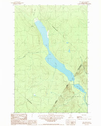 1987 East Lake1987 Print · USGSThe Maine-Quebec borderlands come into focus in the late eighties, documenting the wild watershed where the northern woods meet the international line. Researchers can trace the flow of Chimenticook Stream and locate the boundary markers between Lac de l'Est and East Lake.
 - 1993 Map of Allagash, 1994 Print
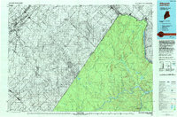 1993 Allagash1994 Print · USGSThe Maine-Quebec borderlands in the early nineties show a landscape of deep timber and international riverways. Researchers can trace the remote settlements of Allagash and Dickey or locate historic river features like Castonia Rapids and Beau Lake.
 - 2011 Map of Rocky Mountain NW, 2011 Print
 2011 Rocky Mountain NW2011 Print · USGSThe deep Maine woods of T18 R13 WELS are shown here during the early twenty-first century, revealing a landscape of managed timberlands and remote outposts. Researchers can trace the industrial road network along Irving Rd to the site of Campbell Depot Camp and the banks of Chimenticook Stream.
 - 2011 Map of Rocky Brook, 2011 Print
 2011 Rocky Brook2011 Print · USGSThe northern reaches of the Maine-Quebec borderlands are documented here in the early twenty-first century, showcasing a landscape of dense timber and remote waterways. Researchers can trace the courses of Rocky Brook and the Little Black River alongside backcountry routes like Rocky Brook Rd.
 - 2011 Map of Morrison Brook, 2011 Print
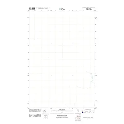 2011 Morrison Brook2011 Print · USGSThe northern reaches of the Maine-Quebec border are defined by wild waterways in this early twenty-first-century survey. Trace the winding course of the West Branch Little Black River as it carves through the remote international boundary.
 - 2011 Map of East Lake, 2011 Print
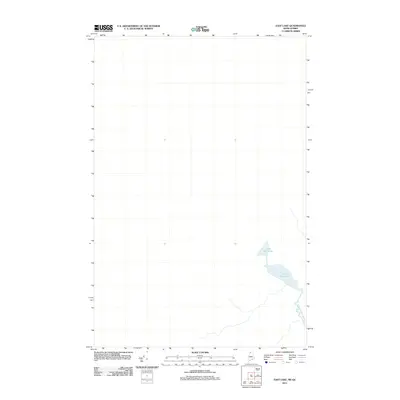 2011 East Lake2011 Print · USGSThe Maine-Quebec borderlands appear in their quiet, modern state during this early twenty-first-century survey. Researchers and outdoor enthusiasts can trace the natural flow of Chimenticook Stream and the isolated waters of Little East Lake through this remote terrain.
 - 2011 Map of Rocky Mountain, 2011 Print
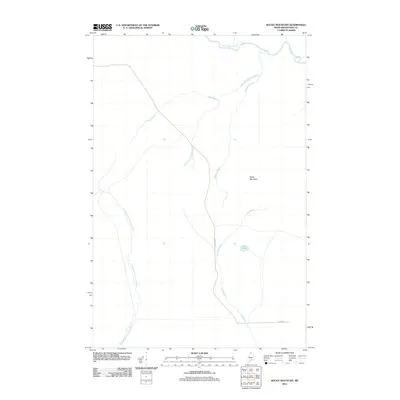 2011 Rocky Mountain2011 Print · USGSThe Maine north woods in the early twenty-first century reveal a landscape shaped by hydrology and timber management. Researchers can trace the drainages of the Little Black River and the rugged slopes of Rocky Mountain along remote routes like Dickey Rd.
 - 2014 Map of Morrison Brook, 2014 Print
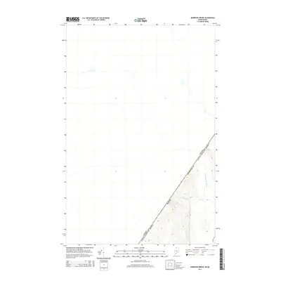 2014 Morrison Brook2014 Print · USGSNorthern Maine and the Quebec border meet at this high-elevation wilderness in the 2010s. Researchers can trace the rugged headwaters of the W Br Little Black River and Morrison Brook as they wind through the woods near Estcourt Rd.
 - 2014 Map of Rocky Brook, 2014 Print
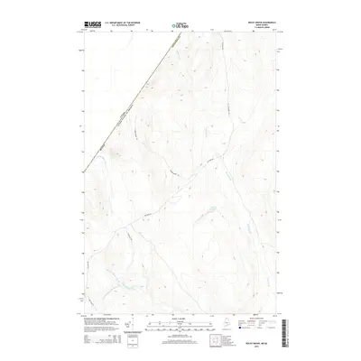 2014 Rocky Brook2014 Print · USGSThe Maine-Quebec borderlands in the early twenty-first century are defined by logging routes and river systems. Trace the winding Little Black River and its branches near Estcourt Rd, along with features like Rideout Pond and Beaver Brook Rd.
 - 2014 Map of Rocky Mountain, 2014 Print
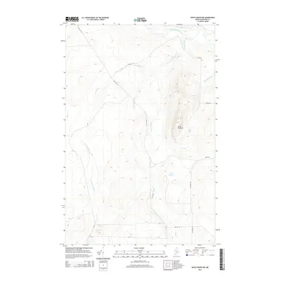 2014 Rocky Mountain2014 Print · USGSNorthern Aroostook County is shown as a vast working forest in the early twenty-first century. Researchers can trace the network of timber access routes like Camp 106 Rd and the drainage of the Little Black River near the summit of Rocky Mountain.
 - 2014 Map of Rocky Mountain NW, 2014 Print
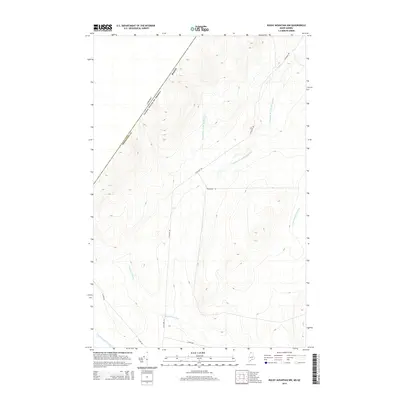 2014 Rocky Mountain NW2014 Print · USGSThe Maine-Quebec borderlands come into focus in the early 2010s, showing the intersection of international boundaries and wilderness waterways. Trace remote access routes like Estcourt Rd and the courses of the Campbell Br Little Black River and Pocwock Stream.
 - 2014 Map of East Lake, 2014 Print
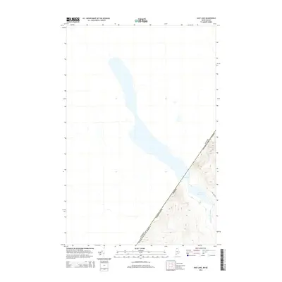 2014 East Lake2014 Print · USGSThe Maine-Quebec borderlands come into focus in the early 2010s, showing the quiet intersection of international boundaries and wilderness. Researchers can trace the shoreline of East Lake and find remote waterways like Pocwock Stream and Chimenticook Stream near East Lake Rd.
 - 2018 Map of Rocky Brook, 2018 Print
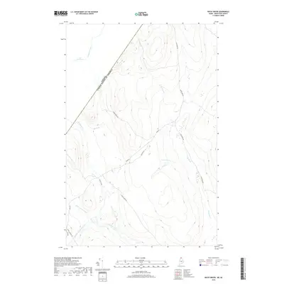 2018 Rocky Brook2018 Print · USGSThe international border between Maine and Quebec defines this northwoods landscape as it appeared in recent years. Researchers can trace remote logging routes like Rocky Brook Rd and follow the winding courses of the Little Black River and Rideout Pond.
 - 2018 Map of Rocky Mountain, 2018 Print
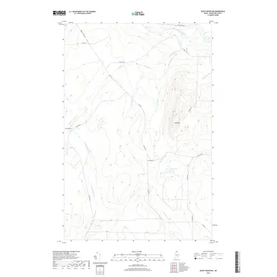 2018 Rocky Mountain2018 Print · USGSNorthern Maine's remote timberlands are captured here in the late 2010s, showing a landscape defined by industrial forest roads and river drainages. Trace the logging network along Dickey Rd and explore the highlands around Rocky Mtn and Fox Pond.
 - 2018 Map of Rocky Mountain NW, 2018 Print
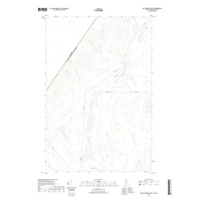 2018 Rocky Mountain NW2018 Print · USGSNorthern Maine's remote timberlands are captured here just before the end of the decade, showing the intersection of international borders and industrial forestry. You can trace the path of Canada Rd along the frontier or follow the Pocwock Stream through its varied wetland basins.
 - 2018 Map of Morrison Brook, 2018 Print
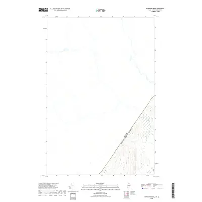 2018 Morrison Brook2018 Print · USGSThe international borderlands of northern Maine and Quebec are captured here in the late 2010s. Researchers can trace the remote drainage of the W Br Little Black River and Morrison Br or follow the path of Irving Rd through the timberlands.
Showing maps 1-25 of 36
Top cities near T18 R13 WELS
Frequently asked questions
- What are the different types of historical maps available for T18 R13 WELS?
- What is the oldest map of T18 R13 WELS?
- Where can I purchase historical maps of T18 R13 WELS for my home or office?
- Where can I download high-res historical maps of T18 R13 WELS?
- Are there historical topographic maps available for T18 R13 WELS?
- Is there historical aerial imagery available for T18 R13 WELS?
- Where are historical maps of T18 R13 WELS sourced from?