2000s (21st Century) Maps of T18 R13 WELS, Maine
Explore 25 historic maps of T18 R13 WELS from the 2000s (21st Century). These maps offer a rare glimpse into what life looked like during the 2000s — showing old roads, neighborhoods, homes, and landmarks that have changed or disappeared over time.
Whether you're researching your family's past, planning a metal detecting trip, or studying how T18 R13 WELS's landscape evolved across the 2000s, these high-resolution maps are a powerful tool for exploring the history of this region.
- Focus on a specific era: All maps on this page are from the 2000s, giving you a focused view of this time period.
- See what’s changed: Compare century-old streets, trails, and buildings to today's modern landscape using overlays and satellite layers.
- Research with precision: Use these maps for genealogy, historical research, land use analysis, or educational projects.
- View, download, or print: Maps are fully viewable online in high resolution, and can be downloaded or printed for your own records.
Start exploring T18 R13 WELS's history through authentic maps from the 2000s. This is your window into the past.
T18 R13 WELS, ME maps
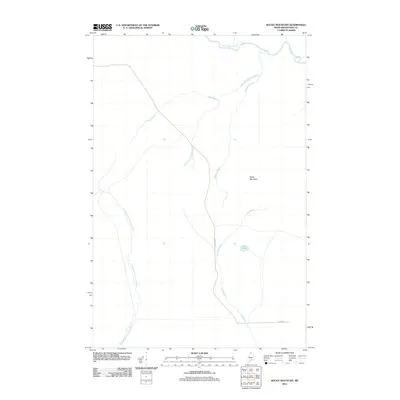
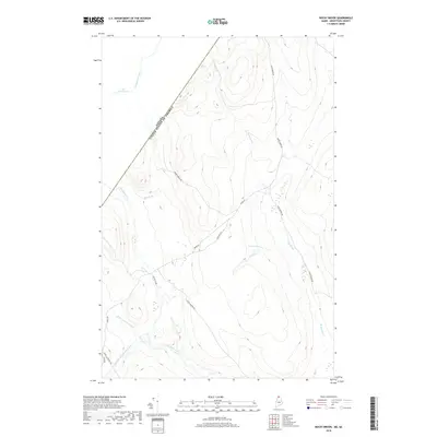
(25)- 2011 Map of Rocky Mountain NW, 2011 Print
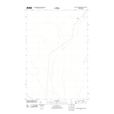 2011 Rocky Mountain NW2011 Print · USGSCovers T18 R13 WELS, including Picard, T17 R14 WELS, and other nearby areas
 - 2011 Map of Rocky Brook, 2011 Print
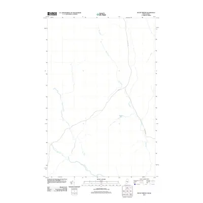 2011 Rocky Brook2011 Print · USGSCovers T18 R13 WELS, including Saint-Athanase, Big Twenty Township, and other nearby areas
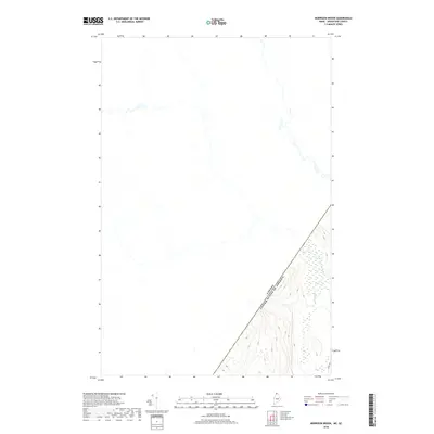
 - 2011 Map of Morrison Brook, 2011 Print
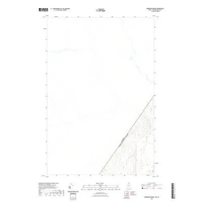
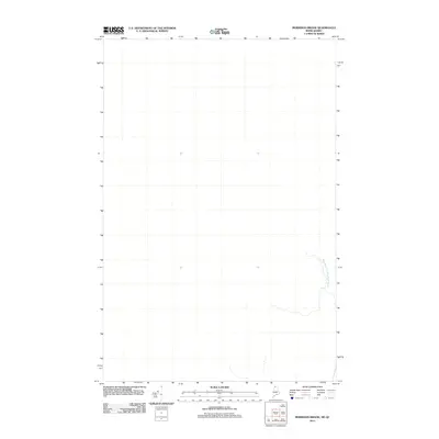 2011 Morrison Brook2011 Print · USGSCovers T18 R13 WELS, including Saint-Athanase, T19 R12 WELS, and other nearby areas
 - 2011 Map of East Lake, 2011 Print
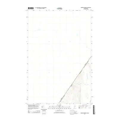
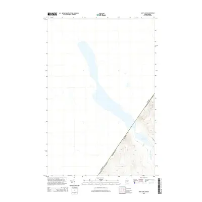
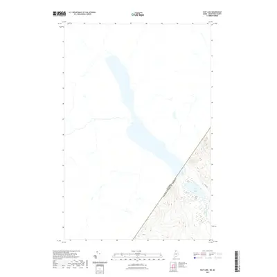
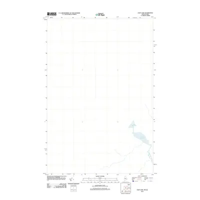 2011 East Lake2011 Print · USGSCovers T18 R13 WELS, including Mont-Carmel, Petit-Lac-Sainte-Anne, and other nearby areas
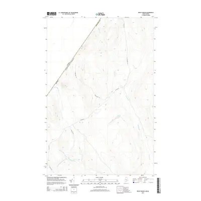
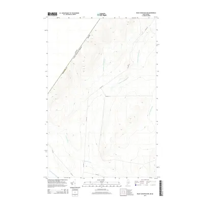
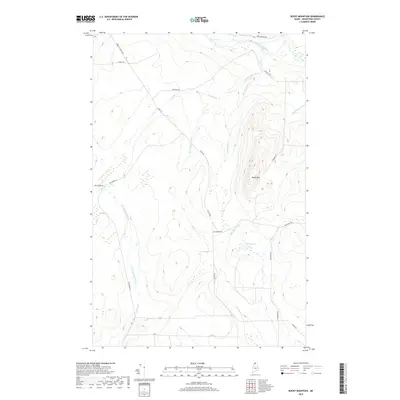
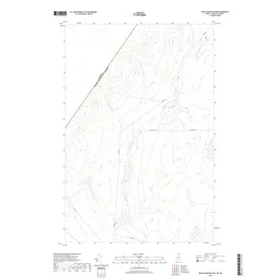
 - 2011 Map of Rocky Mountain, 2011 Print
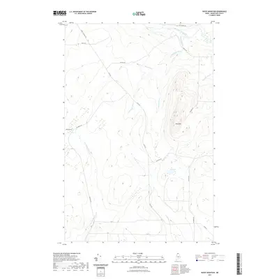
 2011 Rocky Mountain2011 Print · USGSCovers T18 R13 WELS, including T18 R12 WELS, T17 R12 WELS, and other nearby areas
 - 2014 Map of Morrison Brook, 2014 Print
 2014 Morrison Brook2014 Print · USGSCovers T18 R13 WELS, including Saint-Athanase, T19 R12 WELS, and other nearby areas
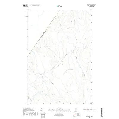
 - 2014 Map of Rocky Brook, 2014 Print
 2014 Rocky Brook2014 Print · USGSCovers T18 R13 WELS, including Saint-Athanase, Big Twenty Township, and other nearby areas
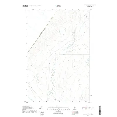
 - 2014 Map of Rocky Mountain, 2014 Print
 2014 Rocky Mountain2014 Print · USGSCovers T18 R13 WELS, including T18 R12 WELS, T17 R12 WELS, and other nearby areas
 - 2014 Map of Rocky Mountain NW, 2014 Print
 2014 Rocky Mountain NW2014 Print · USGSCovers T18 R13 WELS, including Picard, T17 R14 WELS, and other nearby areas
 - 2014 Map of East Lake, 2014 Print
 2014 East Lake2014 Print · USGSCovers T18 R13 WELS, including Mont-Carmel, Petit-Lac-Sainte-Anne, and other nearby areas
 - 2018 Map of Rocky Brook, 2018 Print
 2018 Rocky Brook2018 Print · USGSCovers T18 R13 WELS, including Saint-Athanase, Big Twenty Township, and other nearby areas
 - 2018 Map of Rocky Mountain, 2018 Print
 2018 Rocky Mountain2018 Print · USGSCovers T18 R13 WELS, including T18 R12 WELS, T17 R12 WELS, and other nearby areas
 - 2018 Map of Rocky Mountain NW, 2018 Print
 2018 Rocky Mountain NW2018 Print · USGSCovers T18 R13 WELS, including Picard, T17 R14 WELS, and other nearby areas
 - 2018 Map of Morrison Brook, 2018 Print
 2018 Morrison Brook2018 Print · USGSCovers T18 R13 WELS, including Saint-Athanase, T19 R12 WELS, and other nearby areas
 - 2018 Map of East Lake, 2018 Print
 2018 East Lake2018 Print · USGSCovers T18 R13 WELS, including Mont-Carmel, Petit-Lac-Sainte-Anne, and other nearby areas
 - 2021 Map of Rocky Mountain NW, 2021 Print
 2021 Rocky Mountain NW2021 Print · USGSCovers T18 R13 WELS, including Picard, T17 R14 WELS, and other nearby areas
 - 2021 Map of Rocky Brook, 2021 Print
 2021 Rocky Brook2021 Print · USGSCovers T18 R13 WELS, including Saint-Athanase, Big Twenty Township, and other nearby areas
 - 2021 Map of Rocky Mountain, 2021 Print
 2021 Rocky Mountain2021 Print · USGSCovers T18 R13 WELS, including T18 R12 WELS, T17 R12 WELS, and other nearby areas
 - 2021 Map of Morrison Brook, 2021 Print
 2021 Morrison Brook2021 Print · USGSCovers T18 R13 WELS, including Saint-Athanase, T19 R12 WELS, and other nearby areas
 - 2021 Map of East Lake, 2021 Print
 2021 East Lake2021 Print · USGSCovers T18 R13 WELS, including Mont-Carmel, Petit-Lac-Sainte-Anne, and other nearby areas
 - 2024 Map of Morrison Brook, 2024 Print
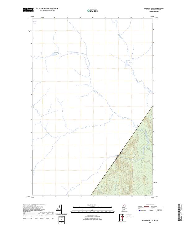 2024 Morrison Brook2024 Print · USGSNorthern Maine's international border meets the Canadian frontier in this recent survey of the Aroostook County wilderness. Researchers can trace the drainage of the Rivière Noire and locate remote water bodies like Lac à l'Orignal and Morrison Brook.
 - 2024 Map of Rocky Brook, 2024 Print
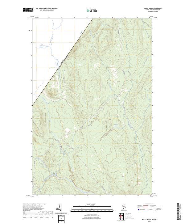 2024 Rocky Brook2024 Print · USGSThe international border in northernmost Maine defines this heavily forested terrain during the twenty-first century. Researchers can trace the extensive watershed of the Little Black River and locate remote logging routes like Escourt Rd and Rocky Brook Rd.
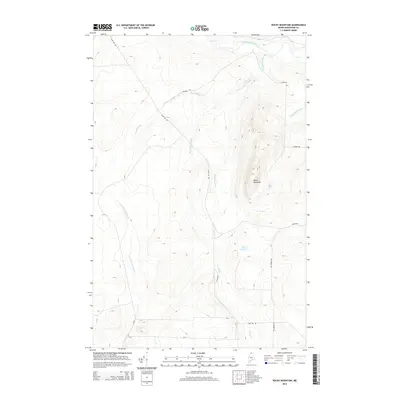
 - 2024 Map of Rocky Mountain, 2024 Print
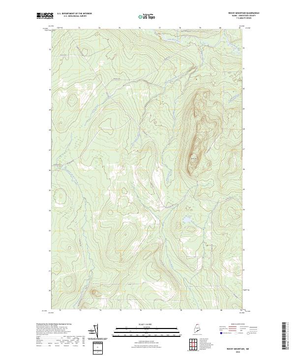 2024 Rocky Mountain2024 Print · USGSUpper Aroostook County remains a remote timber and water landscape in this recent topographic study. Genealogists and historians can trace the access routes and waterways of the North Woods, including Dickey Rd, Fox Pond, and the Little Black River.
 - 2024 Map of Rocky Mountain NW, 2024 Print
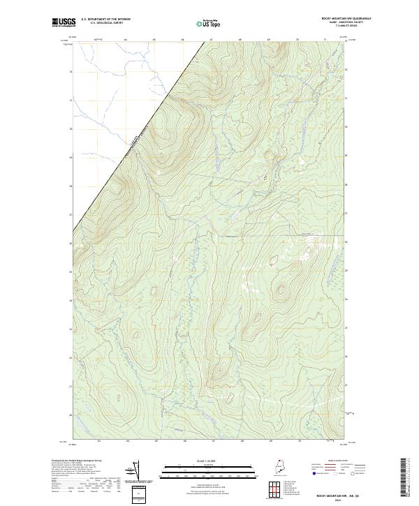 2024 Rocky Mountain NW2024 Print · USGSThe Maine North Woods and the Canadian border meet in this contemporary survey of northern Aroostook County. Researchers can trace the courses of the Campbell Branch Little Black River and Pocwock Stream along the timber roads of Irving Rd.
 - 2024 Map of East Lake, 2024 Print
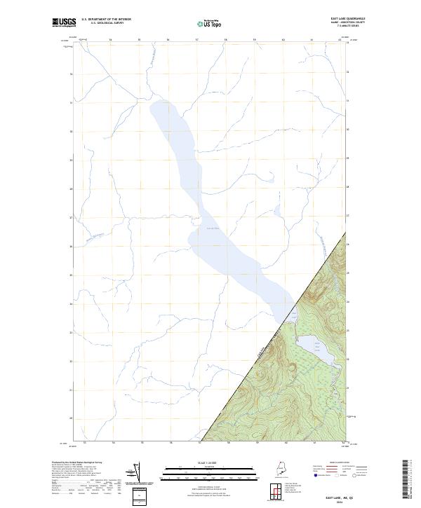 2024 East Lake2024 Print · USGSThis northern borderland in Aroostook County is shown in modern detail where the Maine forest meets the Quebec line. Researchers can trace the international boundary as it crosses Lac de l'Est and East Lake, or follow the remote path of E Lake Rd.
End of results
Showing maps 1-25 of 25
Top cities near T18 R13 WELS
Frequently asked questions
- What are the different types of historical maps available for T18 R13 WELS?
- What is the oldest map of T18 R13 WELS?
- Where can I purchase historical maps of T18 R13 WELS for my home or office?
- Where can I download high-res historical maps of T18 R13 WELS?
- Are there historical topographic maps available for T18 R13 WELS?
- Is there historical aerial imagery available for T18 R13 WELS?
- Where are historical maps of T18 R13 WELS sourced from?