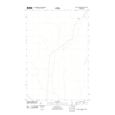
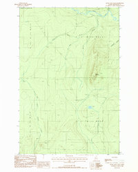
2011 Map of Rocky Mountain NW
USGS Topo · Published 2011About this map
Campbell Depot Camp anchors the northern portion of this map, representing the logging operations and remote outposts characteristic of this forested region in northern Maine. The landscape is defined by the headwaters and drainage of significant local waterways, including East Branch Pocwock Stream and Chimenticook Stream. Connectivity through these woods is maintained primarily by Irving Rd, which cuts diagonally across the quadrangle. The map reflects a modern era of forest management where industrial road networks have replaced or supplemented older logging trails to reach deep into the timberlands of T18 R13 WELS.
Find a feature on this map
4 named features on this map. Tap any name to fly to it.
Don’t see what you’re looking for? This feature index may not catch every label — zoom into the map to look around manually.
Map Details
Editions of this 2011 Rocky Mountain NW Map
This is the sole edition of this map. No revisions or reprints were ever made.
Other maps of this area

1955 · Rocky Mountain
USGS Topo · 1:62,500

1955 · Little East Lake
USGS Topo · 1:62,500

1955 · Rocky Brook
USGS Topo · 1:62,500

1962 · Edmundston
USGS Topo · 1:250,000

1976 · East Lake
USGS Topo · 1:24,000

1976 · East Lake SE
USGS Topo · 1:24,000
1987 · Rocky Mountain SW
USGS Topo · 1:24,000
1987 · Schoolhouse Rapids
USGS Topo · 1:24,000
1987 · Morrison Brook
USGS Topo · 1:24,000
1987 · Rocky Mountain
USGS Topo · 1:24,000