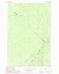
1987 Map of Morrison Brook
USGS Topo · Published 1987About this map
The international border between Canada and the United States bisects this northern wilderness, where the forests of Aroostook County meet the administrative boundaries of Saint-Athanase and the MRC de Témiscouata / Kamouraska. The landscape is defined by its complex drainage network, notably the southward flow of the Little Black River and its tributary, Morrison Brook, which is also identified by its French name, Ruisseau Morrison. Several private logging roads wind through the township of T 18 R 13 Wels, providing the only structural traces of human activity in this heavily timbered region. To the north, the terrain rises toward several remote water bodies, including Lac à l'Orignal and Lac Noir, which feed into the northern reaches of the Rivière Noire and the headwaters of Ruisseau à l'Eau Claire.
Find a feature on this map
16 named features on this map. Tap any name to fly to it.
Don’t see what you’re looking for? This feature index may not catch every label — zoom into the map to look around manually.
Map Details
Editions of this 1987 Morrison Brook Map
This is the sole edition of this map. No revisions or reprints were ever made.
Other maps of this area

1955 · Rocky Mountain
USGS Topo · 1:62,500

1955 · Little East Lake
USGS Topo · 1:62,500

1955 · Rocky Brook
USGS Topo · 1:62,500

1962 · Edmundston
USGS Topo · 1:250,000

1976 · East Lake
USGS Topo · 1:24,000
1987 · Saint-Eleuthere
USGS Topo · 1:24,000
1987 · Rocky Mountain
USGS Topo · 1:24,000
1987 · Rocky Mtn NW
USGS Topo · 1:24,000
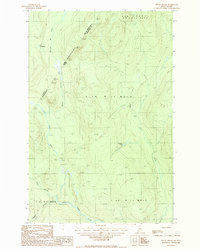
1987 · Rocky Brook
USGS Topo · 1:24,000
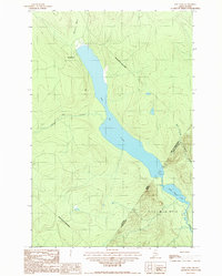
1987 · East Lake
USGS Topo · 1:24,000