
1933 Map of Allagash
USGS Topo · Published 1933About this map
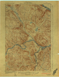
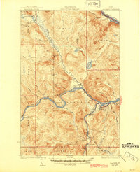
The confluence of the St John River, Allagash River, and St Francis River defines this northern borderland in the early 1930s. The settlement at Dickey serves as a central hub where the Allagash meets the larger St John, marking a landscape dominated by water transport and timber interests. The international boundary with New Brunswick is clearly delineated along the St Francis and St John rivers, featuring points such as Conners Cove and Glazier Lake.
Find a feature on this map
81 named features on this map. Tap any name to fly to it.
Don’t see what you’re looking for? This feature index may not catch every label — zoom into the map to look around manually.
Map Details
Editions of this 1933 Allagash Map
3 editions found
Other maps of this area

1930 · Allagash
USGS Topo · 1:48,000

1930 · St Francis
USGS Topo · 1:48,000

1931 · Fish River Lake
USGS Topo · 1:48,000

1932 · Allagash Falls
USGS Topo · 1:48,000

1933 · St Francis
USGS Topo · 1:62,500

1935 · Fish River Lake
USGS Topo · 1:62,500

1935 · Allagash Falls
USGS Topo · 1:62,500

1954 · Presque Isle
USGS Topo · 1:250,000

1955 · Rocky Mountain
USGS Topo · 1:62,500

1955 · Round Pond
USGS Topo · 1:62,500