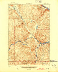
1933 Map of Allagash
USGS Topo · Published 1945About this map
The confluence of the Little Black River and the St John River defines the settlement pattern of this remote northern Maine landscape as it appeared in the 1930s. The village of Dickey serves as a central point where river travel met local roads, surrounded by a network of rural schoolhouses such as the Log Cabin Sch, Kelly Sch, and Lindberg Sch. These small educational outposts were essential for the dispersed families living in the unorganized townships of Allagash, T 18 R 11, and T 18 R 10.
Find a feature on this map
58 named features on this map. Tap any name to fly to it.
Don’t see what you’re looking for? This feature index may not catch every label — zoom into the map to look around manually.
Map Details
Editions of this 1933 Allagash Map
3 editions found
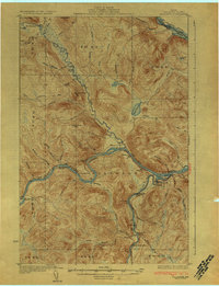
Other maps of this area

1930 · Allagash
USGS Topo · 1:48,000

1930 · St Francis
USGS Topo · 1:48,000

1931 · Fish River Lake
USGS Topo · 1:48,000

1932 · Allagash Falls
USGS Topo · 1:48,000

1933 · Allagash
USGS Topo · 1:62,500

1933 · St Francis
USGS Topo · 1:62,500

1935 · Fish River Lake
USGS Topo · 1:62,500

1935 · Allagash Falls
USGS Topo · 1:62,500

1954 · Presque Isle
USGS Topo · 1:250,000

1955 · Rocky Mountain
USGS Topo · 1:62,500