2000s (21st Century) Maps of Fort Fairfield, Maine
Explore 20 historic maps of Fort Fairfield from the 2000s (21st Century). These maps offer a rare glimpse into what life looked like during the 2000s — showing old roads, neighborhoods, homes, and landmarks that have changed or disappeared over time.
Whether you're researching your family's past, planning a metal detecting trip, or studying how Fort Fairfield's landscape evolved across the 2000s, these high-resolution maps are a powerful tool for exploring the history of this region.
- Focus on a specific era: All maps on this page are from the 2000s, giving you a focused view of this time period.
- See what’s changed: Compare century-old streets, trails, and buildings to today's modern landscape using overlays and satellite layers.
- Research with precision: Use these maps for genealogy, historical research, land use analysis, or educational projects.
- View, download, or print: Maps are fully viewable online in high resolution, and can be downloaded or printed for your own records.
Start exploring Fort Fairfield's history through authentic maps from the 2000s. This is your window into the past.
Fort Fairfield, ME maps
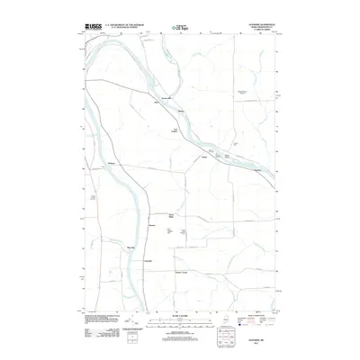
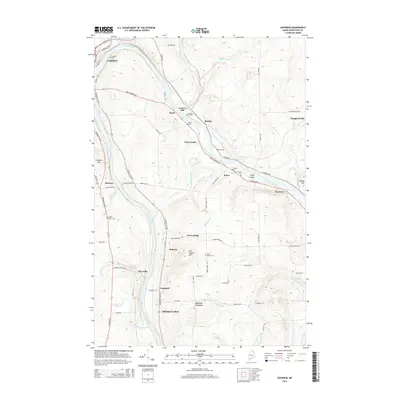
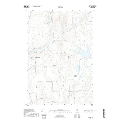
(20)- 2011 Map of Easton, 2011 Print
 2011 Easton2011 Print · USGSCovers Fort Fairfield, including Presque Isle, Easton, and other nearby areas
 - 2011 Map of Easton Center, 2011 Print
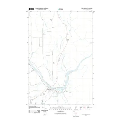
 2011 Easton Center2011 Print · USGSCovers Fort Fairfield, including Easton, County, and other nearby areas
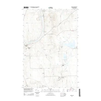
 - 2011 Map of Goodwin, 2011 Print
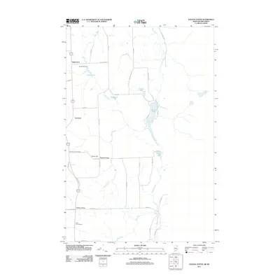
 2011 Goodwin2011 Print · USGSCovers Fort Fairfield, including Presque Isle, Caribou, and other nearby areas
 - 2011 Map of Fort Fairfield, 2011 Print
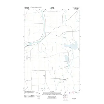
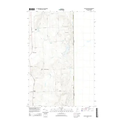
 2011 Fort Fairfield2011 Print · USGSCovers Fort Fairfield, including Limestone, County, and other nearby areas
 - 2014 Map of Easton Center, 2014 Print
 2014 Easton Center2014 Print · USGSCovers Fort Fairfield, including Easton, County, and other nearby areas
 - 2014 Map of Easton, 2014 Print
 2014 Easton2014 Print · USGSCovers Fort Fairfield, including Presque Isle, Easton, and other nearby areas
 - 2014 Map of Goodwin, 2014 Print
 2014 Goodwin2014 Print · USGSCovers Fort Fairfield, including Presque Isle, Caribou, and other nearby areas
 - 2014 Map of Fort Fairfield, 2014 Print
 2014 Fort Fairfield2014 Print · USGSCovers Fort Fairfield, including Limestone, County, and other nearby areas
 - 2018 Map of Fort Fairfield, 2018 Print
 2018 Fort Fairfield2018 Print · USGSCovers Fort Fairfield, including Limestone, County, and other nearby areas
 - 2018 Map of Goodwin, 2018 Print
 2018 Goodwin2018 Print · USGSCovers Fort Fairfield, including Presque Isle, Caribou, and other nearby areas
 - 2018 Map of Easton, 2018 Print
 2018 Easton2018 Print · USGSCovers Fort Fairfield, including Presque Isle, Easton, and other nearby areas
 - 2018 Map of Easton Center, 2018 Print
 2018 Easton Center2018 Print · USGSCovers Fort Fairfield, including Easton, County, and other nearby areas
 - 2021 Map of Fort Fairfield, 2021 Print
 2021 Fort Fairfield2021 Print · USGSCovers Fort Fairfield, including Limestone, County, and other nearby areas
 - 2021 Map of Goodwin, 2021 Print
 2021 Goodwin2021 Print · USGSCovers Fort Fairfield, including Presque Isle, Caribou, and other nearby areas
 - 2021 Map of Easton, 2021 Print
 2021 Easton2021 Print · USGSCovers Fort Fairfield, including Presque Isle, Easton, and other nearby areas
 - 2021 Map of Easton Center, 2021 Print
 2021 Easton Center2021 Print · USGSCovers Fort Fairfield, including Easton, County, and other nearby areas
 - 2024 Map of Goodwin, 2024 Print
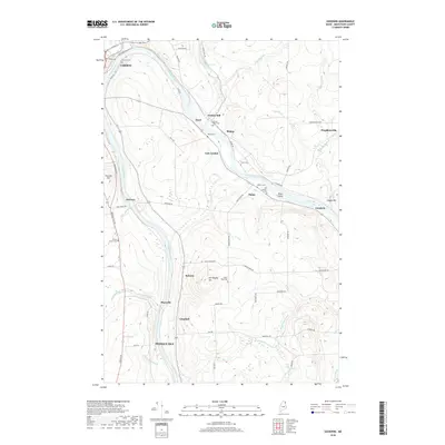
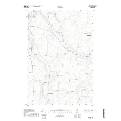
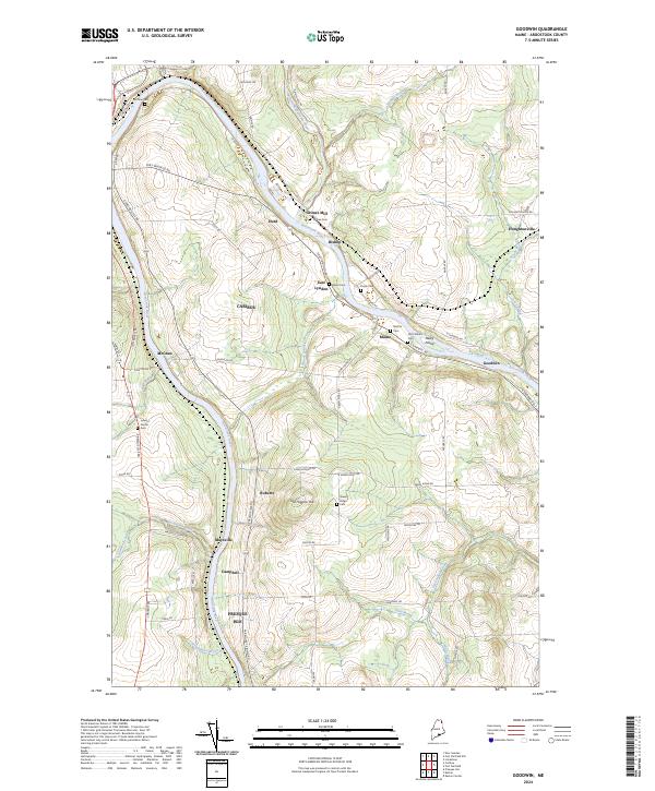 2024 Goodwin2024 Print · USGSAroostook County's river-driven development is on display here during the early twenty-first century. Genealogists and local historians can trace legacy sites like Grimes Mill, Lyndon Center Cem, and the old settlement at Goodwin.
 - 2024 Map of Easton Center, 2024 Print
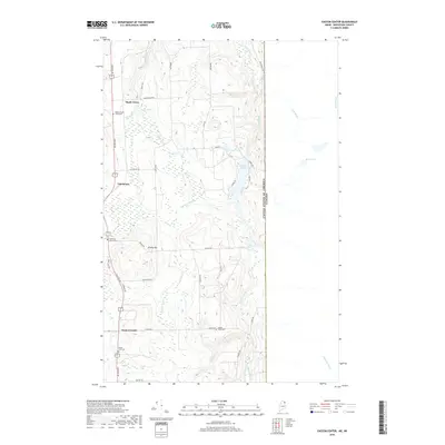
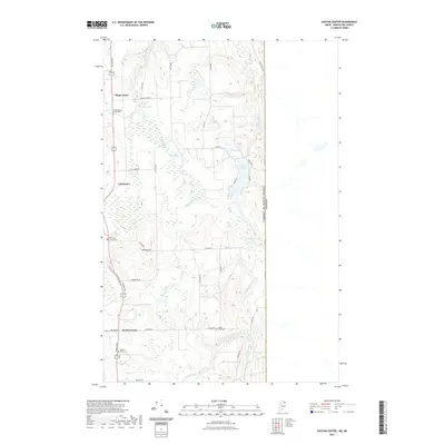
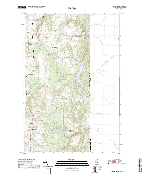 2024 Easton Center2024 Print · USGSAroostook County's agricultural heartland is documented here at the international border with Canada. Genealogists can trace family landmarks and burial sites including Pine Tree Church Cem, Mount Shilo Cem, and the village of Easton Center.
 - 2024 Map of Fort Fairfield, 2024 Print
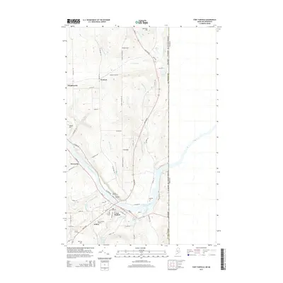
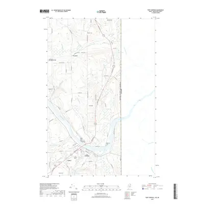
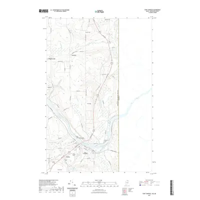
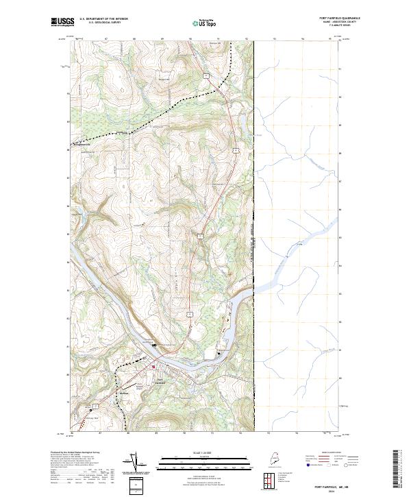 2024 Fort Fairfield2024 Print · USGSThe international border at Fort Fairfield is captured here in modern detail, showing the river-bound town and its surrounding highlands. Researchers can trace family history through several burial grounds, including Riverside Cem and the Houghton Burial Ground, or locate the historic Fort Fairfield Airport.
 - 2024 Map of Easton, 2024 Print
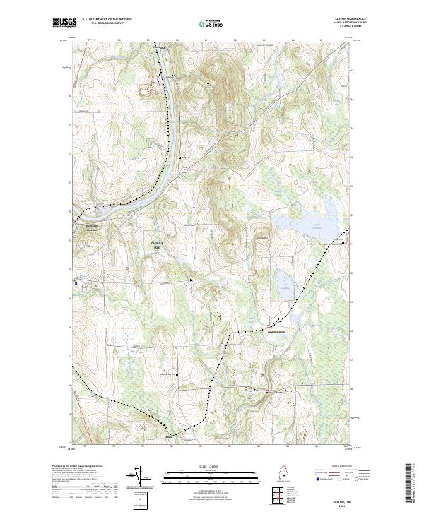 2024 Easton2024 Print · USGSThe eastern reaches of Aroostook County are captured here, showing the settlement patterns around Presque Isle and Easton in the mid-2020s. Genealogists can locate several family burial sites like Knight Cem and Bean Cem along the winding Prestile Stream.
End of results
Showing maps 1-20 of 20
Top cities near Fort Fairfield
- Presque Isle historical maps
- Caribou historical maps
- Mapleton historical maps
- Washburn historical maps
- Limestone historical maps
- Mars Hill historical maps
See more
Top neighborhoods of Fort Fairfield
- Fairmount historical maps
- McShea historical maps
- Stevensville historical maps
- Goodrich historical maps
- Houghtonville historical maps
- Goodwin historical maps
See more
Frequently asked questions
- What are the different types of historical maps available for Fort Fairfield?
- What is the oldest map of Fort Fairfield?
- Where can I purchase historical maps of Fort Fairfield for my home or office?
- Where can I download high-res historical maps of Fort Fairfield?
- Are there historical topographic maps available for Fort Fairfield?
- Is there historical aerial imagery available for Fort Fairfield?
- Where are historical maps of Fort Fairfield sourced from?