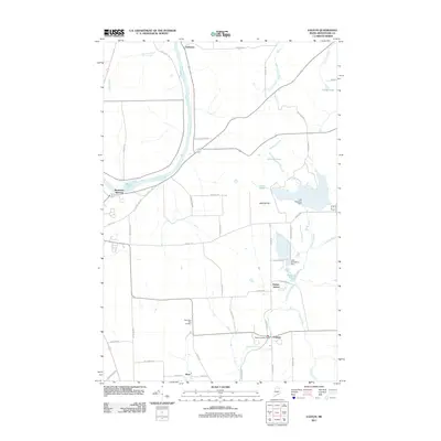
2011 Map of Easton
USGS Topo · Published 2011About this map
Prestile Stream winds through this central Aroostook County landscape, serving as a focal point for local water management and early settlement patterns near the town of Easton. The presence of the Easton Intake Dam, along with Lake Christina Dam and Lake Josephine Dam, illustrates the managed hydrography necessary for the region's agricultural and municipal needs. The map records several small rail-related junctions and settlements, including Washburn Junction, Easton Station, and Phair, which once facilitated the movement of goods through this northern borderland.
Find a feature on this map
49 named features on this map. Tap any name to fly to it.
Don’t see what you’re looking for? This feature index may not catch every label — zoom into the map to look around manually.
Map Details
Editions of this 2011 Easton Map
This is the sole edition of this map. No revisions or reprints were ever made.
Other maps of this area

1929 · Caribou
USGS Topo · 1:48,000

1930 · Fort Fairfield
USGS Topo · 1:48,000

1932 · Caribou
USGS Topo · 1:62,500

1933 · Fort Fairfield
USGS Topo · 1:62,500

1935 · Presque Isle
USGS Topo · 1:62,500

1936 · Mars Hill
USGS Topo · 1:48,000

1940 · Mars Hill
USGS Topo · 1:62,500

1951 · Mars Hill
USGS Topo · 1:62,500

1951 · Fort Fairfield
USGS Topo · 1:62,500

1953 · Presque Isle
USGS Topo · 1:62,500