
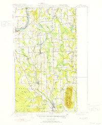
1951 Map of Mars Hill
USGS Topo · Published 1951About this map
The Bangor And Aroostook and Canadian Pacific railroads dominate the early 1950s landscape of this Aroostook County border region, following the natural corridors carved by the Aroostook River and Prestile Brook. This survey captures a rural economy built on the rail network, connecting agricultural hubs like Easton, Westfield, and Blaine to larger markets. Along the international boundary, the U S Customs post and the Rivière des Chutes Ch highlight the area's cross-border movement. The topography is anchored by the prominent Mars Hill landform in the southeast, while the surrounding valley is dotted with local landmarks such as Kings Grove Cem, Ladner Sch, and a small Landing Strip. The density of cemeteries like Pierce Cem and Marshall Cem provides a rich resource for genealogical research in these small northern Maine townships.
Find a feature on this map
76 named features on this map. Tap any name to fly to it.
Don’t see what you’re looking for? This feature index may not catch every label — zoom into the map to look around manually.
Map Details
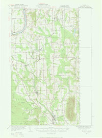
Editions of this 1951 Mars Hill Map
3 editions found
Other maps of this area

1929 · Caribou
USGS Topo · 1:48,000

1930 · Fort Fairfield
USGS Topo · 1:48,000

1932 · Caribou
USGS Topo · 1:62,500

1933 · Fort Fairfield
USGS Topo · 1:62,500

1934 · Bridgewater
USGS Topo · 1:48,000

1935 · Howe Brook
USGS Topo · 1:48,000

1935 · Presque Isle
USGS Topo · 1:62,500

1936 · Mars Hill
USGS Topo · 1:48,000

1938 · Bridgewater
USGS Topo · 1:62,500

1939 · Howe Brook
USGS Topo · 1:62,500