
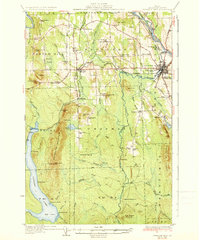
1935 Map of Presque Isle
USGS Topo · Published 1935About this map
Presque Isle serves as the bustling hub of this northern Maine landscape, where the Aroostook River and Presque Isle Stream converge. The 1930s economy is clearly visible through agricultural and educational infrastructure, notably the State Experimental Farm and the Aroostook State Normal School. While the town center shows urban density near the Landing Field, the surrounding townships of Mapleton, Chapman, and Westfield are defined by a dense network of rural schoolhouses, such as Richardson Sch and Haystack Sch.
Find a feature on this map
96 named features on this map. Tap any name to fly to it.
Don’t see what you’re looking for? This feature index may not catch every label — zoom into the map to look around manually.
Map Details
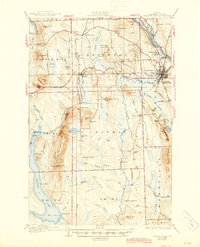
Editions of this 1935 Presque Isle Map
3 editions found
Other maps of this area

1929 · Portage
USGS Topo · 1:62,500

1929 · Caribou
USGS Topo · 1:48,000

1930 · Fort Fairfield
USGS Topo · 1:48,000

1931 · Ashland
USGS Topo · 1:48,000

1931 · Portage
USGS Topo · 1:62,500

1932 · Caribou
USGS Topo · 1:62,500

1933 · Fort Fairfield
USGS Topo · 1:62,500

1934 · Bridgewater
USGS Topo · 1:48,000

1934 · Ashland
USGS Topo · 1:62,500

1935 · Howe Brook
USGS Topo · 1:48,000