
1934 Map of Ashland
USGS Topo · Published 1934About this map
The Aroostook River and Bangor and Aroostook railroad corridor define this 1930s landscape, serving as the primary arteries for the region's timber and agricultural economy. The settlement of Ashland stands at the center of a network of small outlying communities and hamlets such as Sheridan, Nashville, and Frenchville. The map reveals a remarkable density of rural education, with numerous local schoolhouses including the Nashville Sch, Thornton Sch, and Old Stetson Sch serving the scattered population. Industrial activity is visible through the Nowland Mill and logging infrastructure like the Tote Road systems in the west. The terrain is marked by significant water bodies such as Squapan Lake and the Machias River, while local peaks like McClellan Hill and Nowland Hill break the heavily wooded interior.
Find a feature on this map
81 named features on this map. Tap any name to fly to it.
Don’t see what you’re looking for? This feature index may not catch every label — zoom into the map to look around manually.
Map Details
Editions of this 1934 Ashland Map
3 editions found
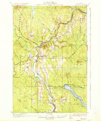
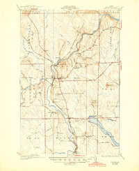
Other maps of this area

1928 · Winterville
USGS Topo · 1:48,000

1929 · Portage
USGS Topo · 1:62,500

1929 · Caribou
USGS Topo · 1:48,000

1930 · Greenlaw
USGS Topo · 1:48,000

1931 · Ashland
USGS Topo · 1:48,000

1931 · Portage
USGS Topo · 1:62,500

1931 · Winterville
USGS Topo · 1:62,500

1932 · Caribou
USGS Topo · 1:62,500

1933 · Greenlaw
USGS Topo · 1:62,500

1935 · Howe Brook
USGS Topo · 1:48,000