
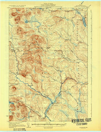
1933 Map of Greenlaw
USGS Topo · Published 1933About this map
The Machias River and its various branches dominate this northern Maine landscape, carving through a region defined by commercial timber interests and traditional sporting camps. Surveyed in 1930, the map illustrates the infrastructure of the early 20th-century logging industry, where the river served as a primary artery for movement. Locations like Rand Landing and Grassy Landing indicate points of river access, while the numerous outposts such as Pingree Camp, Elevenmile Camp, and Carry Brook Camp reflect the seasonal habitation of woodsmen and hunters.
Find a feature on this map
55 named features on this map. Tap any name to fly to it.
Don’t see what you’re looking for? This feature index may not catch every label — zoom into the map to look around manually.
Map Details
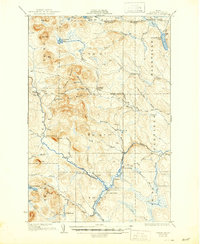
Editions of this 1933 Greenlaw Map
3 editions found
Other maps of this area

1928 · Winterville
USGS Topo · 1:48,000

1929 · Portage
USGS Topo · 1:62,500

1930 · Greenlaw
USGS Topo · 1:48,000

1931 · Fish River Lake
USGS Topo · 1:48,000

1931 · Ashland
USGS Topo · 1:48,000

1931 · Mooseleuk Lake
USGS Topo · 1:48,000

1931 · Portage
USGS Topo · 1:62,500

1931 · Winterville
USGS Topo · 1:62,500

1934 · Ashland
USGS Topo · 1:62,500

1935 · Fish River Lake
USGS Topo · 1:62,500
Featured Places
- Portage Lake, ME
- Garfield Plantation, ME
- Nashville Plantation, ME
- Grassy Landing, T11 R7 WELS
- T12 R8 WELS, ME