Old Maps of Stevensville, Fort Fairfield for Genealogy
Trace your family roots with 13 historic maps of Stevensville. These high-res maps reveal old neighborhoods, homesites, landmarks, and streets — helping you uncover where your ancestors lived and how the area evolved over time.
- Explore historic neighborhoods: Identify where your relatives may have lived in the 1800s or 1900s.
- Compare maps over time: Trace the changes in streets, buildings, and landmarks for multi-generational research.
- Perfect for genealogy & ancestry research: Used by family historians and researchers to map out lineage and migration.
These maps are an incredible resource for exploring your personal connection to Stevensville's past.
Stevensville, Fort Fairfield maps
(13)- 1930 Map of Fort Fairfield
 1930 Fort Fairfield1930 Print · USGSThe international border of Aroostook County comes into focus in the 1930s, showing a landscape of rail-driven agriculture and rural school districts. Genealogists and historians can trace family-named landmarks like Cote Corner, Noyes Mill, and the Riverside Cemetery.
 - 1933 Map of Fort Fairfield
 1933 Fort Fairfield1933 Print · USGSAroostook County was a thriving hub of rail and river commerce in the early thirties. Genealogists can trace family names across dozens of rural schoolhouses and landmarks like Grimes Mill, Findlen Sch, and Riverside Cem.3 unique versions available
 - 1951 Map of Fort Fairfield, 1952 Print
 1951 Fort Fairfield1952 Print · USGSAroostook County's borderlands come alive in this mid-century survey, showing the busy rail-and-river network connecting Maine to New Brunswick. Genealogists and historians can trace family-named corners and rural schoolhouses such as Kelly Sch, Grimes Mill, and the State Fish Hatchery.5 unique versions available
 - 1959 Map of Woodstock, 1975 Print
 1959 Woodstock1975 Print · USGSNorthern Maine and New Brunswick meet along the river valleys in the late fifties, showcasing an era of international rail and river commerce. Genealogists can trace family roots through border towns like Woodstock and Houlton, or along the lines of the Bangor & Aroostook railroad.
 - 1963 Map of Woodstock
 1963 Woodstock1963 Print · USGSThe Maine-New Brunswick borderlands come alive in the early sixties, showing the vital river-and-rail connection between Houlton and Woodstock. Genealogists and historians can trace the paths of the Canadian Pacific RR and locate rural communities like Stickney and Upper Kent.
 - 1975 Map of Fort Fairfield SE, 1981 Print
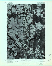 1975 Fort Fairfield SE1981 Print · USGSThe Aroostook River valley along the Maine-New Brunswick border is shown in high-contrast detail during the mid-seventies. Trace local history through the fields and farmsteads near Fort Fairfield, Goodrich, and Stevensville.
 - 1984 Map of Fort Fairfield, 1985 Print
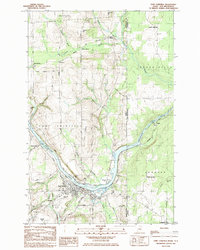 1984 Fort Fairfield1985 Print · USGSThe Aroostook River valley during the early eighties shows a bustling international border region defined by rail and river commerce. Genealogists can trace family names at Riverside Cem and St Denis Ch or locate the old Turner Settlement.
 - 1993 Map of Fort Fairfield
 1993 Fort Fairfield1993 Print · USGSThe Aroostook River valley is shown at a pivotal moment in the 1990s as it spans the international border between Maine and New Brunswick. Genealogists and local historians can trace the extent of Loring Air Force Base or locate rural crossroads like Grimes Mill and Sawyer Corner.
 - 2011 Map of Fort Fairfield, 2011 Print
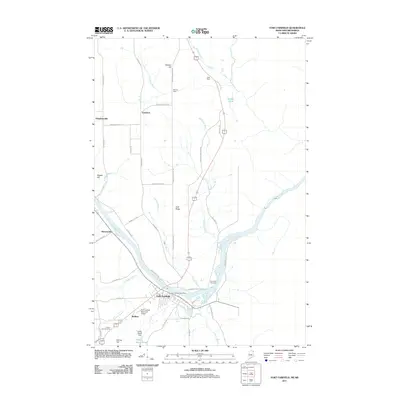 2011 Fort Fairfield2011 Print · USGSIn this northern Maine borderland during the early 21st century, the Aroostook River shapes the local economy and geography. Genealogists and historians can trace family roots through sites like Riverside Cemetery and rural settlements such as Goodrich and McShea.
 - 2014 Map of Fort Fairfield, 2014 Print
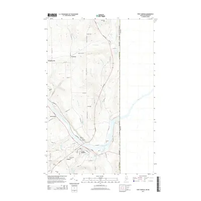 2014 Fort Fairfield2014 Print · USGSFort Fairfield and the Aroostook River valley are shown here in the early twenty-first century as they border Canada. Researchers can locate historic burial sites like Houghton Burial Ground and trace rural settlements from Goodrich to Stevensville.
 - 2018 Map of Fort Fairfield, 2018 Print
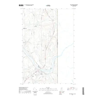 2018 Fort Fairfield2018 Print · USGSThe Maine-Canada border region comes into focus in the late 2010s, centered on the Aroostook River valley. Genealogists and local historians can trace the settlement footprints of Fort Fairfield and Houghtonville or locate family plots at Riverside Cem and the Houghton Burial Ground.
 - 2021 Map of Fort Fairfield, 2021 Print
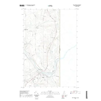 2021 Fort Fairfield2021 Print · USGSFort Fairfield and the Aroostook River valley are shown here just across from the Canadian border in the early 2020s. Genealogists and historians can locate family burial sites at Saint Denis Catholic Cem and Harvey Hill Cem, or trace the rural corners of Houghtonville and McShea.
 - 2024 Map of Fort Fairfield, 2024 Print
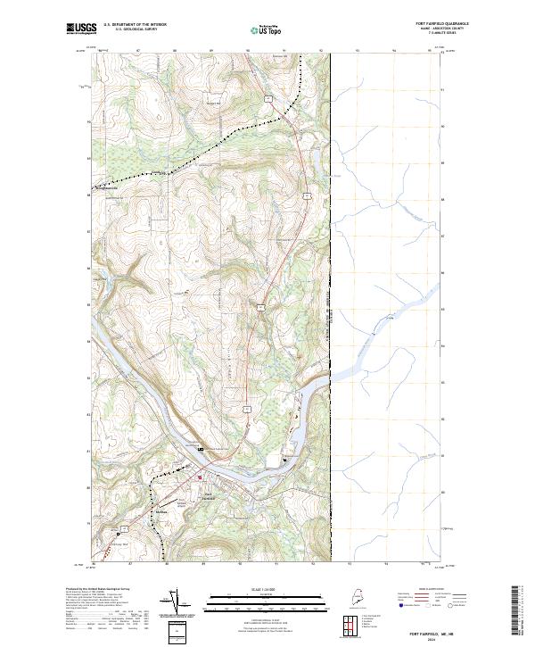 2024 Fort Fairfield2024 Print · USGSThe international border at Fort Fairfield is captured here in modern detail, showing the river-bound town and its surrounding highlands. Researchers can trace family history through several burial grounds, including Riverside Cem and the Houghton Burial Ground, or locate the historic Fort Fairfield Airport.
End of results
Showing maps 1-13 of 13
Frequently asked questions
- What are the different types of historical maps available for Stevensville?
- What is the oldest map of Stevensville?
- Where can I purchase historical maps of Stevensville for my home or office?
- Where can I download high-res historical maps of Stevensville?
- Are there historical topographic maps available for Stevensville?
- Is there historical aerial imagery available for Stevensville?
- Where are historical maps of Stevensville sourced from?