Old Maps of Daigle Mill, Grand Isle for Academic Research
Study the evolution of Daigle Mill with 12 high-resolution historic maps. Whether you're teaching, researching, or modeling changes in land use, these maps provide essential visual documentation of urban, environmental, and geographic change.
- Analyze long-term change: Track patterns in development, transportation, and natural features.
- Ideal for environmental or urban studies: Support academic projects with primary historical map data.
- Use in the classroom or lab: Educators and researchers rely on these maps to bring historical context to life.
These maps are a powerful tool for teaching, research, and visualizing how Daigle Mill has changed over the decades.
Daigle Mill, Grand Isle maps
(12)- 1927 Map of Stockholm
 1927 Stockholm1927 Print · USGSNorthern Aroostook County's borderlands and timber country are captured here in the late twenties during the height of the rail-and-river economy. Researchers can trace rural school districts like Berquist Sch, the Caniba Mill, and the Bangor and Aroostook railroad stops.
 - 1931 Map of Stockholm
 1931 Stockholm1931 Print · USGSUpper Aroostook County in the late twenties shows a landscape defined by the railroad and the timber industry. Genealogists can trace family footprints through rural schoolhouses like Gervais Sch and early settlements including California and Jemtland.4 unique versions available
 - 1953 Map of Stockholm, 1954 Print
 1953 Stockholm1954 Print · USGSNorthern Aroostook County in the mid-fifties is captured here during a period of active timber harvesting and rail transport. Genealogists and local historians can trace the Swedish colony heritage in Stockholm and Jemtland or locate early outposts like Swedes Camp and Sinclair Sch.2 unique versions available
 - 1962 Map of Edmundston, 1966 Print
 1962 Edmundston1966 Print · USGSThe international borderlands of northern Maine and Canada come alive here during the early sixties, centered on the river-and-rail economies of the day. Genealogists and historians can trace the paths of the Bangor and Aroostook railroad through river towns like Fort Kent and St Agatha.2 unique versions available
 - 1975 Map of Stockholm NE, 1981 Print
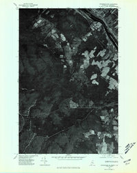 1975 Stockholm NE1981 Print · USGSNorthern Maine meets the Canadian border in the mid-seventies, capturing the riverside settlement of Parent and the surrounding timberlands. Genealogists and historians can trace the international boundary along the Canada United States line near Violette Stream.
 - 1986 Map of Violette Stream
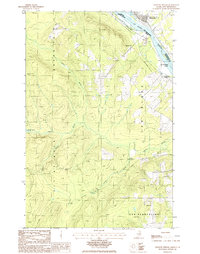 1986 Violette Stream1986 Print · USGSThe international border along the St John River comes into focus in the mid-1980s, documenting the remote woods of Aroostook County. Researchers can trace the path of the Old RR Grade and find early boundary markers for Cyr Plantation and Sainte-Anne-de-Madawaska.
 - 1994 Map of Madawaska
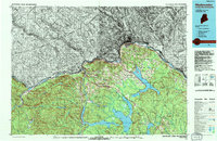 1994 Madawaska1994 Print · USGSThe St John Valley in the 1990s remained a unique cultural crossroads of Maine and New Brunswick, centered on the river and the rails. Genealogists and historians can trace family-named settlements like Violette Settlement or explore the shores of Eagle Lake and Long Lake.
 - 2011 Map of Violette Stream, 2011 Print
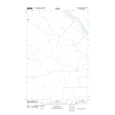 2011 Violette Stream2011 Print · USGSThe Saint John River borderlands in northern Maine appear here during the early twenty-first century, showing a landscape shaped by water and wood. Genealogists and local historians can trace family-named routes like Parent Rd and locate sites such as Daigle Mill and Martins Siding.
 - 2014 Map of Violette Stream, 2014 Print
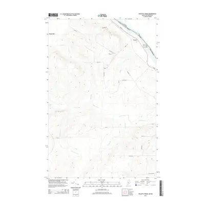 2014 Violette Stream2014 Print · USGSThe northern reaches of Maine’s borderlands are mapped here in the early twenty-first century, centered on the Upper Saint John River Valley. Genealogists and local historians can trace family-named routes and old locations like Daigle Mill, Parent, and Violette Pond.
 - 2018 Map of Violette Stream, 2018 Print
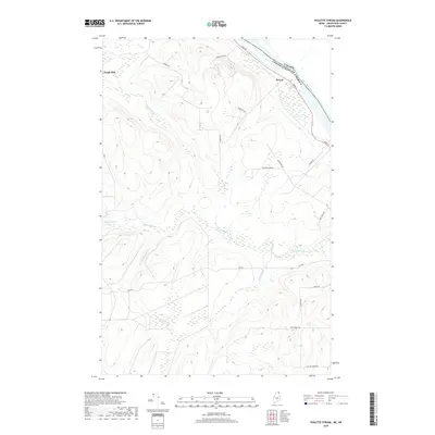 2018 Violette Stream2018 Print · USGSThe international border along the Saint John River is captured here in the late 2010s. Genealogists and local historians can trace family-named routes and settlements like Parent, Daigle Mill, and Sugar Ridge Rd in this northern Maine landscape.
 - 2021 Map of Violette Stream, 2021 Print
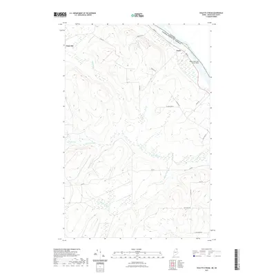 2021 Violette Stream2021 Print · USGSThe international border along the Upper Saint John River Valley comes to life in this modern survey of northern Maine. Researchers can trace land use patterns and family roots along Parent Rd and near the historic site of Daigle Mill.
 - 2024 Map of Violette Stream, 2024 Print
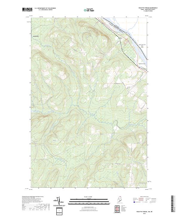 2024 Violette Stream2024 Print · USGSAroostook County's borderlands are mapped here during the early 2020s, showing the rural settlements and international boundary along the Saint John River. Researchers can trace local lineage through family-named landmarks like Daigle Mill, Parent, and Septiemel Island.
End of results
Showing maps 1-12 of 12
Frequently asked questions
- What are the different types of historical maps available for Daigle Mill?
- What is the oldest map of Daigle Mill?
- Where can I purchase historical maps of Daigle Mill for my home or office?
- Where can I download high-res historical maps of Daigle Mill?
- Are there historical topographic maps available for Daigle Mill?
- Is there historical aerial imagery available for Daigle Mill?
- Where are historical maps of Daigle Mill sourced from?