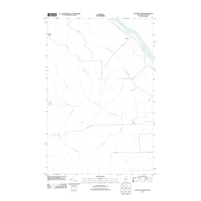
2011 Map of Violette Stream
USGS Topo · Published 2011About this map
The Saint John River forms the natural international border in this northern Maine landscape, where the waterways and early industrial sites define the local geography. Small settlements and specialized landmarks like Daigle Mill and Parent are connected by a network of rural roads, including Parent Rd and Town Line Rd, reflecting the region's agricultural and timber-focused layout. The drainage patterns of Violette Stream, Daigle Brook, and Sanford Stream converge toward the river, illustrating the topographical character of the Van Buren area.
Find a feature on this map
22 named features on this map. Tap any name to fly to it.
Don’t see what you’re looking for? This feature index may not catch every label — zoom into the map to look around manually.
Map Details
Editions of this 2011 Violette Stream Map
This is the sole edition of this map. No revisions or reprints were ever made.
Other maps of this area

1921 · Van Buren
USGS Topo · 1:250,000

1927 · Stockholm
USGS Topo · 1:48,000

1931 · Van Buren
USGS Topo · 1:48,000

1931 · Stockholm
USGS Topo · 1:62,500

1934 · Van Buren
USGS Topo · 1:62,500

1938 · Grand Isle
USGS Topo · 1:62,500

1940 · Grand Isle
USGS Topo · 1:62,500

1951 · Van Buren
USGS Topo · 1:62,500

1953 · Stockholm
USGS Topo · 1:62,500

1962 · Edmundston
USGS Topo · 1:250,000