
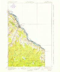
1934 Map of Van Buren
USGS Topo · Published 1934About this map
The St John River forms the defining international boundary of northern Maine in this early 1930s survey, separating the settlements of Van Buren and Keegan from St Leonard in New Brunswick. The landscape is dominated by a complex network of brooks and lakes, including Hammond Brook Lake, Big Black Brook Lake, and Mud Lake, which sustained the timber and agricultural economy of the era. Evidence of early 20th-century rural infrastructure is widespread, with the Bangor and Aroostook railroad corridor paralleling the river, providing vital transport for the region's produce.
Find a feature on this map
49 named features on this map. Tap any name to fly to it.
Don’t see what you’re looking for? This feature index may not catch every label — zoom into the map to look around manually.
Map Details
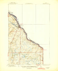
Editions of this 1934 Van Buren Map
3 editions found
Other maps of this area

1921 · Van Buren
USGS Topo · 1:250,000

1927 · Stockholm
USGS Topo · 1:48,000

1929 · Caribou
USGS Topo · 1:48,000

1930 · Fort Fairfield
USGS Topo · 1:48,000

1931 · Van Buren
USGS Topo · 1:48,000

1931 · Stockholm
USGS Topo · 1:62,500

1932 · Caribou
USGS Topo · 1:62,500

1933 · Fort Fairfield
USGS Topo · 1:62,500

1938 · Grand Isle
USGS Topo · 1:62,500

1940 · Grand Isle
USGS Topo · 1:62,500