Old Maps of Orient, Maine for Genealogy
Trace your family roots with 21 historic maps of Orient. These high-res maps reveal old neighborhoods, homesites, landmarks, and streets — helping you uncover where your ancestors lived and how the area evolved over time.
- Explore historic neighborhoods: Identify where your relatives may have lived in the 1800s or 1900s.
- Compare maps over time: Trace the changes in streets, buildings, and landmarks for multi-generational research.
- Perfect for genealogy & ancestry research: Used by family historians and researchers to map out lineage and migration.
These maps are an incredible resource for exploring your personal connection to Orient's past.
Orient, ME maps
(21)- 1940 Map of Amity
 1940 Amity1940 Print · USGSAroostook County was a landscape of remote border settlements and logging streams just before the Second World War. Researchers can trace family-named sites like Wilcox Settlement, find rural schoolhouses such as Estabrook Sch, and locate the Wilcox Cem near the Canadian line.
 - 1941 Map of Amity
 1941 Amity1941 Print · USGSAroostook County's borderlands are captured here just before the mid-century, detailing the rural life of eastern Maine along the New Brunswick line. Researchers can locate vanished schoolhouses like Estabrook Sch and family landmarks such as Wilcox Settlement or the Ferry Bridge.2 unique versions available
 - 1943 Map of Amity
 1943 Amity1943 Print · USGSSouthern Aroostook County and the Canadian borderlands are captured here just before the mid-century, defined by small settlements and family-named ridges. Researchers can locate rural schools like Estabrook Sch, early burial grounds at Wilcox Cem, and the river crossing at Ferry Bridge.3 unique versions available
 - 1957 Map of Fredericton, 1981 Print
 1957 Fredericton1981 Print · USGSThe New Brunswick and Maine borderlands come into focus in the mid-fifties, dominated by the Saint John River and massive military tracts. Genealogists can locate riverfront hamlets like Maugerville or inland sites like Scotch Settlement along the Canadian Pacific rail line.
 - 1958 Map of Amity, 1960 Print
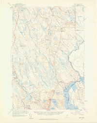 1958 Amity1960 Print · USGSIn the late 1950s, this portion of eastern Maine was a landscape of remote settlements and international border crossings. Genealogists can locate family landmarks like Wilcox Settlement, the Grange Hall, and several country schoolhouses including Elliot Sch.3 unique versions available
 - 1963 Map of Fredericton
 1963 Fredericton1963 Print · USGSThe Saint John River valley and the Maine-New Brunswick border are captured here during the early sixties. Researchers can trace the Canadian Pacific rail lines through rural settlements like Jewetts Mills, Mckeens Corner, and Scotch Settlement.
 - 1975 Map of Amity SE, 1980 Print
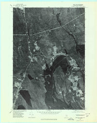 1975 Amity SE1980 Print · USGSThe Maine and New Brunswick border comes into focus in the mid-1970s, showcasing the remote timberlands and waterways along the international line. Trace the small settlements of Orient and Fosterville flanking the deep Chiputneticook Lakes.2 unique versions available
 - 1975 Map of Amity SW, 1980 Print
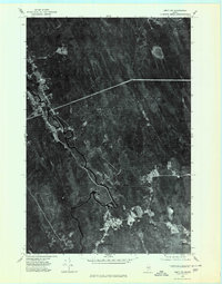 1975 Amity SW1980 Print · USGSAroostook County timberlands are seen in detail during the 1970s, as logging roads and river bends define the landscape. Researchers can trace the clearings of small settlements like Haynesville and North Bancroft along the winding Mattawamkeag River.
 - 1989 Map of Orient
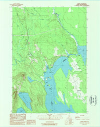 1989 Orient1989 Print · USGSThe Maine-New Brunswick borderlands come into focus in this late twentieth-century survey of southern Aroostook County. Researchers can trace lakeside developments and remote settlements like Orient and Fosterville along the shores of Grand Lake and North Lake.
 - 1989 Map of Haynesville
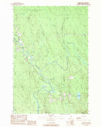 1989 Haynesville1989 Print · USGSAroostook County's river-cut timberlands are captured here in the late eighties, centered on the Mattawamkeag River valley. Genealogists and researchers can trace the roads through Haynesville, locate family plots at the Cem, or find landmarks like Peekaboo Mountain and Selden.
 - 1994 Map of Danforth
 1994 Danforth1994 Print · USGSThe Maine-New Brunswick borderlands come into focus in the 1990s, where the international line traces the St Croix River. Researchers can map the historic Wilcox Settlement, the rail corridor of the Canadian Pacific, and the waterfronts of Spednic Lake.
 - 2011 Map of Haynesville, 2011 Print
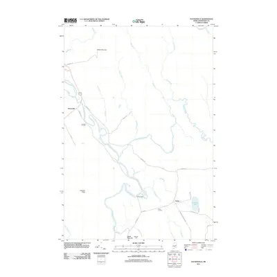 2011 Haynesville2011 Print · USGSSouthern Aroostook County is shown here in the early twenty-first century, centered on the winding Mattawamkeag River and its rural settlements. Genealogists and local historians can trace family locations near Riverside Cemetery, Selden, and the Ferry Bridge.
 - 2011 Map of Orient, 2011 Print
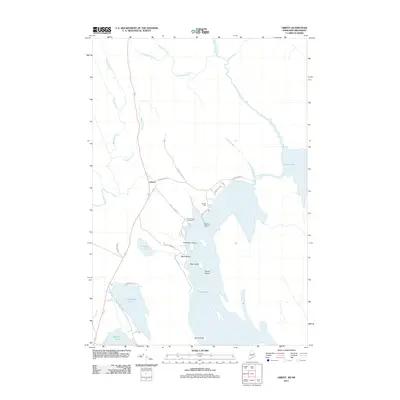 2011 Orient2011 Print · USGSThe Maine-New Brunswick borderlands appear as a network of interconnected lakes and forest roads in this modern survey. Genealogists can locate Peters Cove Cemetery while shoreline researchers trace landmarks like Caribou Point and Halfmoon Island on Grand Lake.
 - 2014 Map of Haynesville, 2014 Print
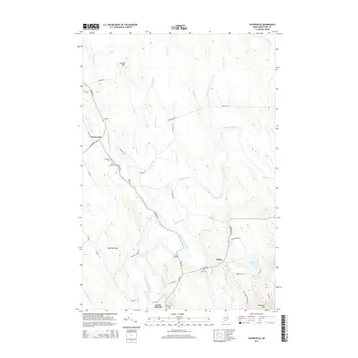 2014 Haynesville2014 Print · USGSThis rural portion of Aroostook County is centered on the Mattawamkeag River valley as it appeared in the early twenty-first century. Genealogists and local historians can locate several family cemeteries like Blaisdell Cem and Selden Cem, or trace the path of the historic Military Rd.
 - 2014 Map of Orient, 2014 Print
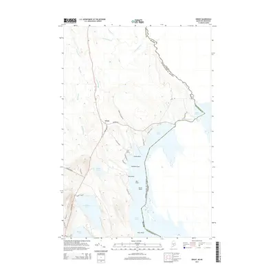 2014 Orient2014 Print · USGSThe international borderlands of eastern Maine come into focus in this early 21st-century survey of the lakes and forests around Orient. Genealogists and historians can trace local families near Peters Cove Cemetery or explore the shorelines of Grand Lake and North Lake.
 - 2018 Map of Haynesville, 2018 Print
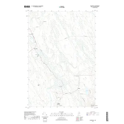 2018 Haynesville2018 Print · USGSAroostook County's river-driven landscape is captured here in the late 2010s, centered on the historic crossroads of Haynesville. Researchers can trace family history at Blaisdell Cem or Tuck Cem and locate the old crossing at Ferry Bridge.
 - 2018 Map of Orient, 2018 Print
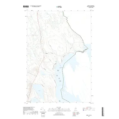 2018 Orient2018 Print · USGSThis Maine border landscape in 2018 captures the remote lake country of Aroostook County along the international line with Canada. Researchers can trace local landmarks like Peters Cove Cem, the waters of The Thoroughfare, and the islands of Grand Lake.
 - 2021 Map of Haynesville, 2021 Print
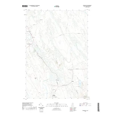 2021 Haynesville2021 Print · USGSAroostook County's river valleys and forest lands are documented here in the early twenty-first century. Genealogists and historians can locate remote family landmarks like Blaisdell Cem, the Karnes Gellerson Cem, and the river crossing at Ferry Bridge.
 - 2021 Map of Orient, 2021 Print
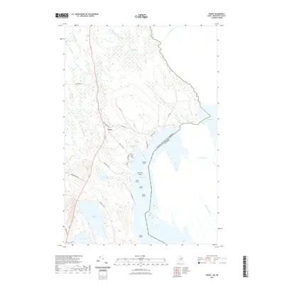 2021 Orient2021 Print · USGSThe borderlands of eastern Maine are captured here in the early twenty-first century, where the community of Orient meets the international line. Genealogists and local historians can trace family landmarks like Peters Cove Cem, Longfellow Lake, and the islands of Grand Lake.
 - 2024 Map of Haynesville, 2024 Print
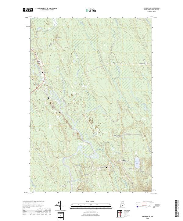 2024 Haynesville2024 Print · USGSAroostook County's river valleys and timberlands are well-documented here in the early twenty-first century. Genealogists can trace family footprints at Blaisdell Cem and Selden Cem, while following the historic Military Rd through Haynesville.
 - 2024 Map of Orient, 2024 Print
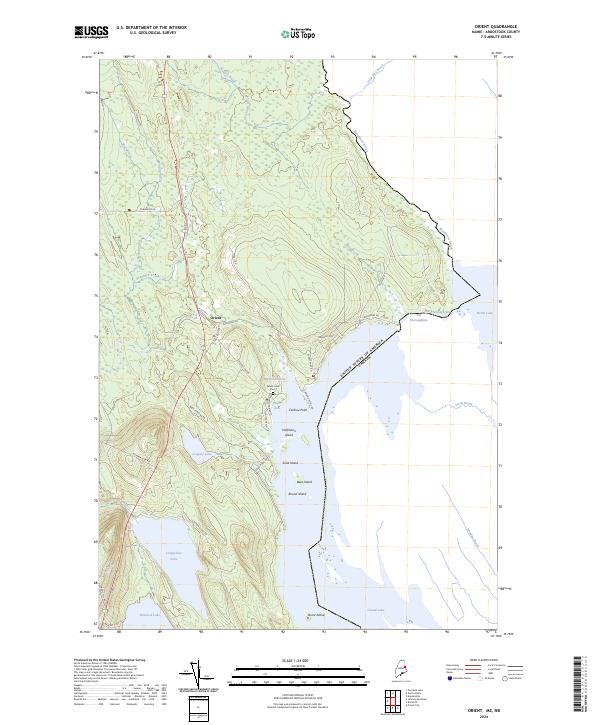 2024 Orient2024 Print · USGSThe international borderlands of eastern Maine come into sharp focus here at the edge of the Canadian wilderness. Genealogists and researchers can trace the vicinity of Orient and local family history at Peters Cove Cem along the shores of Grand Lake.
End of results
Showing maps 1-21 of 21
Top cities near Orient
- Hodgdon historical maps
- Linneus historical maps
- Oakfield historical maps
- Danforth historical maps
- Amity historical maps
- Weston historical maps
See more
Frequently asked questions
- What are the different types of historical maps available for Orient?
- What is the oldest map of Orient?
- Where can I purchase historical maps of Orient for my home or office?
- Where can I download high-res historical maps of Orient?
- Are there historical topographic maps available for Orient?
- Is there historical aerial imagery available for Orient?
- Where are historical maps of Orient sourced from?