Old Maps of Danforth, Maine
Explore 49 old maps of Danforth, spanning from 1940 to today. These high-resolution historic maps reveal how streets, neighborhoods, landmarks, and natural features evolved over time — perfect for genealogy, metal detecting, research, and local history exploration.
What you can do with these maps:
- See how Danforth changed over time: Compare historical maps to modern-day views to trace roads, homesites, rail lines & more.
- View detailed metadata: Each map includes creators, publishers, year, scale, and archive source.
- Overlay maps with satellite & LiDAR: Visualize the past alongside modern tools to explore terrain & human change.
- Trusted historical sources: Maps sourced from the USGS, Library of Congress, and other archives.
- Access maps your way: View online, download high-res files, or order prints for personal or research use.
Start exploring old maps of Danforth to uncover forgotten places, hidden landmarks, and the deep history beneath your feet.
Danforth, ME maps
(49)- 1940 Map of Danforth
 1940 Danforth1940 Print · USGSUpper Washington and Aroostook counties come into focus just before the war, showing the vital rail junction at Danforth. Family historians can locate rural landmarks like Irish Settlement, the Trout Creek Cem, and schools such as Bonner Sch or Butterfield Sch.
 - 1940 Map of Forest, 1963 Print
 1940 Forest1963 Print · USGSThe Maine-Canada borderlands come alive in this mid-century survey of Washington County's lake country. Genealogists and historians can trace the Canadian Pacific rail line through Vanceboro or locate family homesteads near Todds Farm and Forest City.3 unique versions available
 - 1941 Map of Danforth
 1941 Danforth1941 Print · USGSThe Maine-New Brunswick borderlands come to life in this survey of the rail and timber country just before the war. Genealogists and historians can trace family-named sites like the Irish Settlement, Trout Brook Cem, and schools like Shaw Sch.2 unique versions available
 - 1942 Map of Forest
 1942 Forest1942 Print · USGSThis early 1940s survey of eastern Washington County captures the international borderlands along Spednik Lake and the St Croix River. Genealogists and historians can trace the Maine Central rail line through Forest and Lambert Lake or locate old homesteads like Todds Farm.2 unique versions available
 - 1943 Map of Danforth
 1943 Danforth1943 Print · USGSThe rail-and-timber landscape of eastern Maine comes to life here as the two major railroads cross at Danforth. Genealogists can trace family-named sites like Irish Settlement and Cranetown, or locate remote points such as Trout Brook Cem and South Bancroft.3 unique versions available
 - 1957 Map of Fredericton, 1981 Print
 1957 Fredericton1981 Print · USGSThe New Brunswick and Maine borderlands come into focus in the mid-fifties, dominated by the Saint John River and massive military tracts. Genealogists can locate riverfront hamlets like Maugerville or inland sites like Scotch Settlement along the Canadian Pacific rail line.
 - 1958 Map of Danforth, 1960 Print
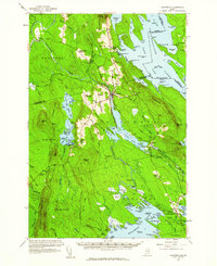 1958 Danforth1960 Print · USGSThe international borderlands and rail junctions of eastern Maine are captured here in the late fifties. Researchers can trace historic family landmarks and communities like the Irish Settlement, Brookton, and the Grand Lake Grange.3 unique versions available
 - 1963 Map of Fredericton
 1963 Fredericton1963 Print · USGSThe Saint John River valley and the Maine-New Brunswick border are captured here during the early sixties. Researchers can trace the Canadian Pacific rail lines through rural settlements like Jewetts Mills, Mckeens Corner, and Scotch Settlement.
 - 1975 Map of Danforth NE, 1980 Print
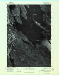 1975 Danforth NE1980 Print · USGSThe international boundary at the Maine-New Brunswick line is captured here in the mid-seventies, showing the lakeside settlements along the eastern border. Genealogists can trace early homestead footprints near Danforth and landing sites like Butterfield Landing.
 - 1975 Map of Danforth NW, 1980 Print
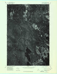 1975 Danforth NW1980 Print · USGSAroostook County's wooded interior is documented in the mid-1970s, showcasing the remote settlements and river systems of northern Maine. Researchers can trace land use around South Bancroft and locate properties between Mattawamkeag River and Lower Hot Brook Lake.
 - 1975 Map of Danforth SE, 1980 Print
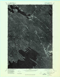 1975 Danforth SE1980 Print · USGSThe Maine woods surrounding Baskahegan Lake are captured in high detail during the mid-seventies. Researchers can trace the winding course of Baskahegan Stream as it flows toward the small settlement of Eaton.
 - 1975 Map of Danforth SW, 1980 Print
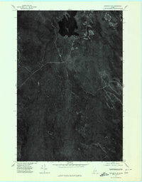 1975 Danforth SW1980 Print · USGSThe dense forests of Washington County are seen in high detail during the mid-seventies, showing the timberlands and waterways near Danforth. Researchers can trace the rugged topography of Stetson Mountain and the winding paths of the West Branch and East Branch.
 - 1988 Map of Danforth
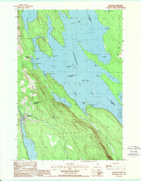 1988 Danforth1988 Print · USGSThe Maine-New Brunswick borderlands are shown here in the late eighties, where the town of Danforth meets the expansive Chiputneticook Grand Lake. Researchers can trace old property lines and local landmarks like the Grand Lake Grange, Flagstaff, and Weston.
 - 1988 Map of Forest City
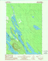 1988 Forest City1988 Print · USGSForest City and the surrounding international boundary waters are captured here in the late eighties. Researchers can trace the border crossing at the US Border Entr, explore the islands of Spednic Lake, and find local landmarks like Walls Hill.
 - 1988 Map of Brookton
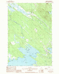 1988 Brookton1988 Print · USGSThe shorelines of Baskahegan Lake and the surrounding bogs of Washington County are captured here in the late eighties. Genealogists and local historians can trace the streets of Brookton and Eaton, find the local Cem, or locate landmarks like Kinney Nation.
 - 1988 Map of Stetson Mountain
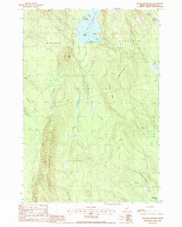 1988 Stetson Mountain1988 Print · USGSMaine's northern interior during the late 1980s reveals a wilderness of high ridges and glacial lakes. Researchers can trace land divisions in T 8 R 4 N B P P or locate recreational landmarks like the Boat Ramp on Upper Hot Brook Lake.
 - 1988 Map of Forest
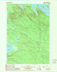 1988 Forest1988 Print · USGSThe Maine-New Brunswick borderlands are captured here in the late twentieth century, showing the remote timberlands and lake systems of Washington County. Researchers can trace the water levels of the Chiputneticook Lakes and locate landmarks like Greenland Mountain and the settlement of Forest.
 - 1988 Map of Jimmey Mountain
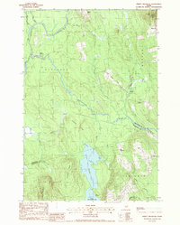 1988 Jimmey Mountain1988 Print · USGSAroostook and Washington counties meet here in the late twentieth century, where river-carved timberlands define the landscape. Genealogists and historians can trace the Irish Settlement and South Bancroft or locate landmarks like Peekaboo Mtn and Lower Hot Brook Lake.
 - 1994 Map of Danforth
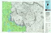 1994 Danforth1994 Print · USGSThe Maine-New Brunswick borderlands come into focus in the 1990s, where the international line traces the St Croix River. Researchers can map the historic Wilcox Settlement, the rail corridor of the Canadian Pacific, and the waterfronts of Spednic Lake.
 - 2011 Map of Danforth, 2011 Print
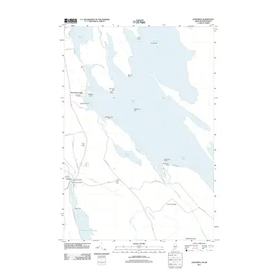 2011 Danforth2011 Print · USGSDanforth and the shores of Grand Lake are documented here in the early twenty-first century, showcasing a landscape defined by water and woods. Local historians can trace the community through sites like the Grand Lake Grange, Danforth Cemetery, and the Crooked Brook Dam.
 - 2011 Map of Brookton, 2011 Print
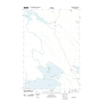 2011 Brookton2011 Print · USGSWashington County’s lake-and-timber country is documented here in the early twenty-first century as it centers on the settlement of Brookton. Genealogists and historians can locate family markers at Eaton Cemetery and trace the shores of Baskahegan Lake.
 - 2011 Map of Forest, 2011 Print
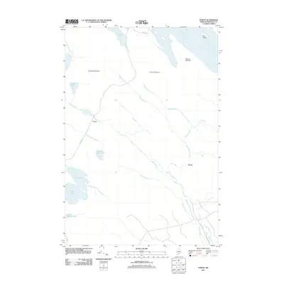 2011 Forest2011 Print · USGSThe Maine-Washington County borderlands near the Saint Croix River appear here during the early twenty-first century. Researchers can trace the layout of Forest and Tomah, or locate landmarks like Spednic Mountain and Crooked Brook Lake.
 - 2011 Map of Jimmey Mountain, 2011 Print
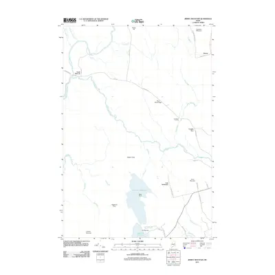 2011 Jimmey Mountain2011 Print · USGSThe borderlands of Aroostook and Washington counties are documented here in the early twenty-first century, showing a landscape defined by timber ridges and glacial lakes. Genealogists can locate the Irish Settlement and Trout Brook Cemetery near the shores of Lower Hot Brook Lake.
 - 2011 Map of Stetson Mountain, 2011 Print
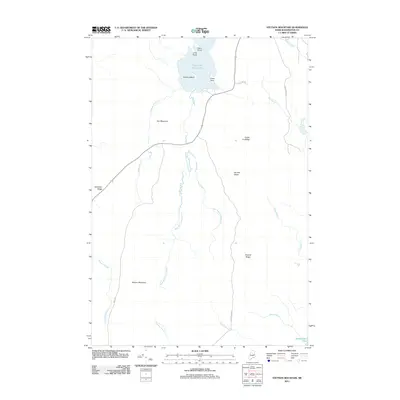 2011 Stetson Mountain2011 Print · USGSUpper Hot Brook Lake and the high peaks of the Maine woods are detailed in this early 21st-century survey of Washington County. Researchers can trace the drainage of West Branch Hot Brook and locate landmarks like Stetson Mountain and Kittery Island.
 - 2011 Map of Forest City, 2011 Print
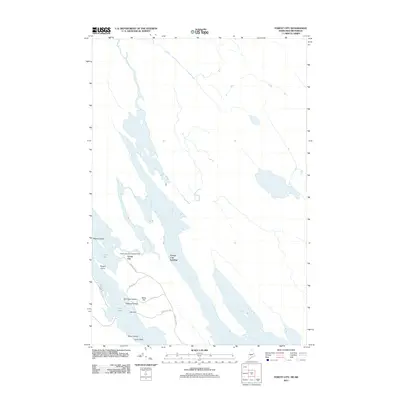 2011 Forest City2011 Print · USGSForest City sits at the international border just after the turn of the millennium, where the river meets the lake. Genealogists and local historians can trace family-named landmarks like Walls Hill or explore the shoreline near Forest City Landing and Treasure Island.
Showing maps 1-25 of 49
Top cities near Danforth
- Weston historical maps
- Prentiss Township historical maps
- Topsfield historical maps
- Orient historical maps
- Carroll Plantation historical maps
- Reed Plantation historical maps
See more
Top neighborhoods of Danforth
Frequently asked questions
- What are the different types of historical maps available for Danforth?
- What is the oldest map of Danforth?
- Where can I purchase historical maps of Danforth for my home or office?
- Where can I download high-res historical maps of Danforth?
- Are there historical topographic maps available for Danforth?
- Is there historical aerial imagery available for Danforth?
- Where are historical maps of Danforth sourced from?