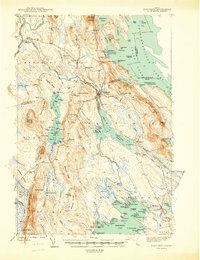
1940 Map of Danforth
USGS Topo · Published 1940About this map
Danforth serves as the industrial and transit hub of this northern Maine landscape, where the Canadian Pacific and Maine Central railroads converge near the banks of Baskahegan Stream. The geography is defined by a series of north-south ridges, including Stetson Mountain and Daggett Ridge, which frame a complex network of waterways like Hot Brook Lake and the Chiputneticook Lakes along the international boundary with New Brunswick.
Find a feature on this map
128 named features on this map. Tap any name to fly to it.
Don’t see what you’re looking for? This feature index may not catch every label — zoom into the map to look around manually.
Map Details
Editions of this 1940 Danforth Map
This is the sole edition of this map. No revisions or reprints were ever made.
Other maps of this area
1931 · Springfield
USGS Topo · 1:48,000
1934 · Springfield
USGS Topo · 1:62,500
1940 · Amity
USGS Topo · 1:62,500
1940 · Waite
USGS Topo · 1:62,500
1940 · Forest
USGS Topo · 1:62,500
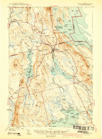
1941 · Danforth
USGS Topo · 1:62,500
1941 · Amity
USGS Topo · 1:62,500
1941 · Scraggly Lake
USGS Topo · 1:62,500
1941 · Mattawamkeag Lake
USGS Topo · 1:62,500
1941 · Wytopitlock
USGS Topo · 1:62,500