Old Maps of Presque Isle Junction, Presque Isle for Genealogy
Trace your family roots with 13 historic maps of Presque Isle Junction. These high-res maps reveal old neighborhoods, homesites, landmarks, and streets — helping you uncover where your ancestors lived and how the area evolved over time.
- Explore historic neighborhoods: Identify where your relatives may have lived in the 1800s or 1900s.
- Compare maps over time: Trace the changes in streets, buildings, and landmarks for multi-generational research.
- Perfect for genealogy & ancestry research: Used by family historians and researchers to map out lineage and migration.
These maps are an incredible resource for exploring your personal connection to Presque Isle Junction's past.
Presque Isle Junction, Presque Isle maps
(13)- 1935 Map of Presque Isle
 1935 Presque Isle1935 Print · USGSAroostook County agriculture and industry are at their peak in the 1930s, centered on the river-and-rail hub of Presque Isle. Genealogists and historians can trace dozens of rural schoolhouses like Richardson Sch and find landmarks such as the Landing Field and the State Experimental Farm.3 unique versions available
 - 1953 Map of Presque Isle, 1955 Print
 1953 Presque Isle1955 Print · USGSCentral Aroostook County is seen here during the mid-century expansion of Presque Isle, featuring a landscape shaped by rail and river. Researchers can trace the early Presque Isle Air Force Base, old schoolhouses like Hillside Sch, and landmarks including Hedgehog Mountain.5 unique versions available
 - 1954 Map of Presque Isle, 1968 Print
 1954 Presque Isle1968 Print · USGSNorth Woods logging and rail history come alive in this mid-century survey of the Maine-Quebec borderlands. Genealogists and historians can trace the Bangor and Aroostook railroad through timber hubs like Ashland, Smyrna Mills, and Presque Isle.2 unique versions available
 - 1958 Map of Presque Isle
 1958 Presque Isle1958 Print · USGSThe Aroostook timber and potato country is captured here during the late fifties, showing the vital rail-to-river network of Northern Maine. Genealogists and historians can trace the Bangor & Aroostook RR through Mapleton and Ashland, or locate remote sites like Chamberlain Farm and Seven Islands.
 - 1960 Map of Presque Isle
 1960 Presque Isle1960 Print · USGSNorthern Maine during the mid-century was a land of timber, rails, and strategic airfields. Genealogists and historians can trace the growth of Presque Isle and Ashland or explore the remote northern reaches of Baxter State Park and Presque Isle AFB.3 unique versions available
 - 1975 Map of Presque Isle NE, 1981 Print
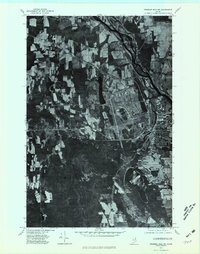 1975 Presque Isle NE1981 Print · USGSThe northern Maine landscape around the mid-1970s is revealed through this high-resolution orthophotomap of the Presque Isle area. Trace the development of the river valley near Spragueville and the agricultural fields surrounding Echo Lake.
 - 1984 Map of Presque Isle
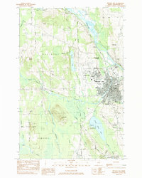 1984 Presque Isle1984 Print · USGSPresque Isle and the Aroostook River valley are captured here in the early 1980s, showcasing the region's agricultural and academic heart. Researchers can trace historic sites like St Marys Cemetery and the Northern Maine Fairgrounds alongside the BANGOR AND AROOSTOOK rail lines.
 - 1994 Map of Presque Isle
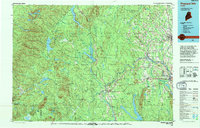 1994 Presque Isle1994 Print · USGSAroostook County in the mid-nineties shows a landscape defined by timber, rail, and river-valley farming. Genealogists and historians can trace the Bangor & Aroostook RR through small stations and settlements like Winterville Sta, Buffalo, and Sheridan.
 - 2011 Map of Presque Isle, 2011 Print
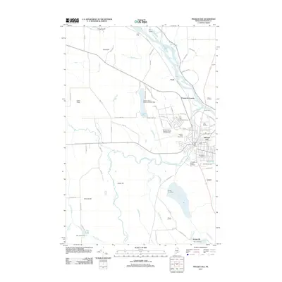 2011 Presque Isle2011 Print · USGSPresque Isle at the start of the twenty-first century shows a landscape where aviation, education, and the river economy converge. Researchers can trace the development of the city grid, from the Northern Maine Fairgrounds to the grounds of the University of Maine at Presque Isle.
 - 2014 Map of Presque Isle, 2014 Print
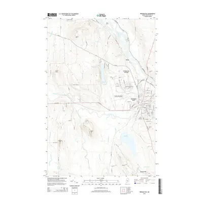 2014 Presque Isle2014 Print · USGSPresque Isle and the surrounding Aroostook County landscape are shown here in the early twenty-first century as a regional center of education and aviation. Local historians can trace the town's layout near Mantle Lake, locating landmarks like Saint Marys Cem and the Univ of Maine at Presque Isle.
 - 2018 Map of Presque Isle, 2018 Print
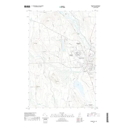 2018 Presque Isle2018 Print · USGSPresque Isle and the surrounding Aroostook County highlands are documented here during a period of modern growth and academic expansion. Researchers can locate ancestral sites at Fairmount Cemetery or trace the development of the Aroostook River valley near Rands and Spragueville.
 - 2021 Map of Presque Isle, 2021 Print
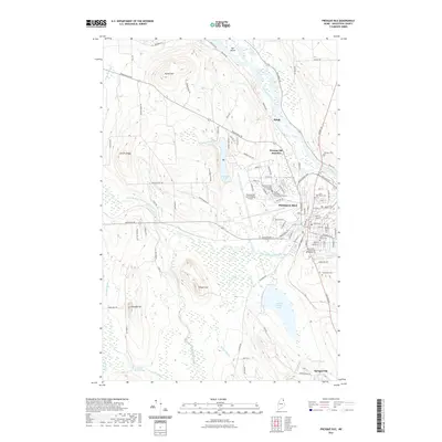 2021 Presque Isle2021 Print · USGSPresque Isle and the surrounding Aroostook County hills are captured here in the early twenty-first century as a bustling regional hub. Researchers can locate specific sites from the Presque Isle International Airport to historic burial grounds like Saint Marys Cemetery and Johnson Cemetery.
 - 2024 Map of Presque Isle, 2024 Print
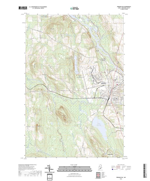 2024 Presque Isle2024 Print · USGSPresque Isle and the Aroostook River valley are captured in this modern survey, documenting the region's role as a northern Maine educational and aviation hub. Genealogists and researchers can trace local families through Saint Marys Cem, Fairmount Cem, and the outlying settlement of Spragueville.
End of results
Showing maps 1-13 of 13
Frequently asked questions
- What are the different types of historical maps available for Presque Isle Junction?
- What is the oldest map of Presque Isle Junction?
- Where can I purchase historical maps of Presque Isle Junction for my home or office?
- Where can I download high-res historical maps of Presque Isle Junction?
- Are there historical topographic maps available for Presque Isle Junction?
- Is there historical aerial imagery available for Presque Isle Junction?
- Where are historical maps of Presque Isle Junction sourced from?