2000s (21st Century) Maps of T11 R8 WELS, Maine
Explore 20 historic maps of T11 R8 WELS from the 2000s (21st Century). These maps offer a rare glimpse into what life looked like during the 2000s — showing old roads, neighborhoods, homes, and landmarks that have changed or disappeared over time.
Whether you're researching your family's past, planning a metal detecting trip, or studying how T11 R8 WELS's landscape evolved across the 2000s, these high-resolution maps are a powerful tool for exploring the history of this region.
- Focus on a specific era: All maps on this page are from the 2000s, giving you a focused view of this time period.
- See what’s changed: Compare century-old streets, trails, and buildings to today's modern landscape using overlays and satellite layers.
- Research with precision: Use these maps for genealogy, historical research, land use analysis, or educational projects.
- View, download, or print: Maps are fully viewable online in high resolution, and can be downloaded or printed for your own records.
Start exploring T11 R8 WELS's history through authentic maps from the 2000s. This is your window into the past.
T11 R8 WELS, ME maps
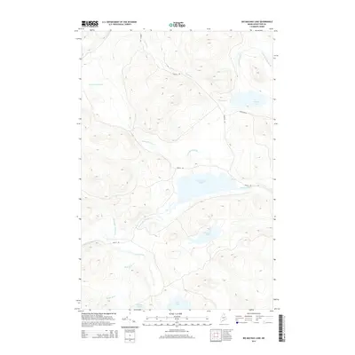
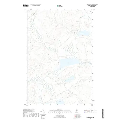
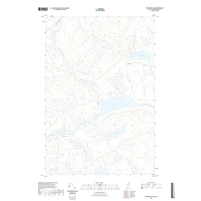
(20)- 2011 Map of Big Machias Lake, 2011 Print
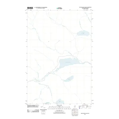 2011 Big Machias Lake2011 Print · USGSCovers T11 R8 WELS, including T12 R9 WELS, T11 R9 WELS, and other nearby areas
 - 2011 Map of Greenlaw Pond, 2011 Print
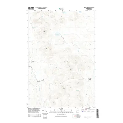
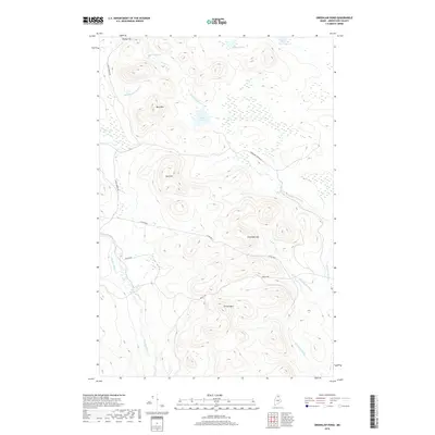
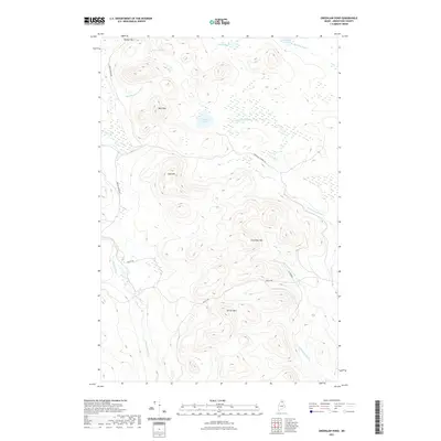
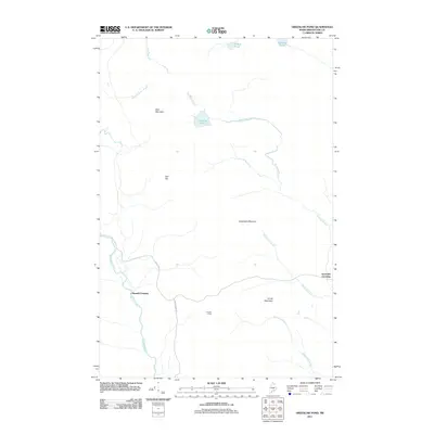 2011 Greenlaw Pond2011 Print · USGSCovers T11 R8 WELS, including Greenlaw Crossing, Russell Crossing, and other nearby areas
 - 2011 Map of Round Mountain, 2011 Print
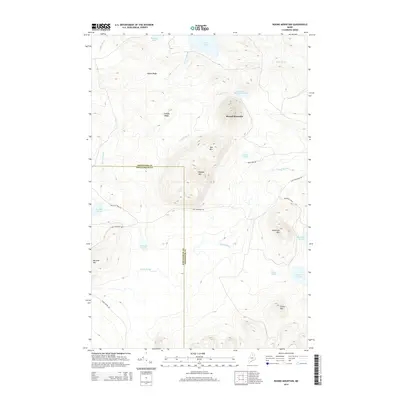
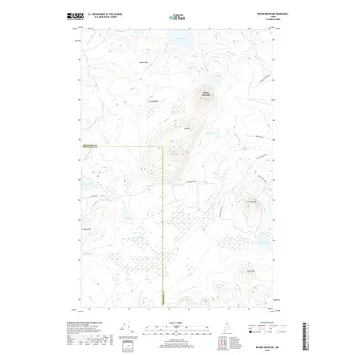
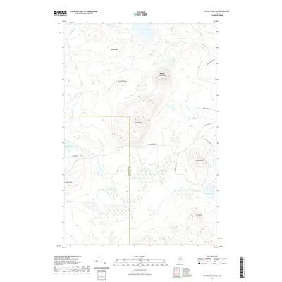
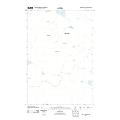 2011 Round Mountain2011 Print · USGSCovers T11 R8 WELS, including Round Mountain, T10 R9 WELS, and other nearby areas
 - 2011 Map of Jack Mountain, 2011 Print
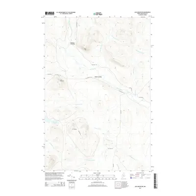
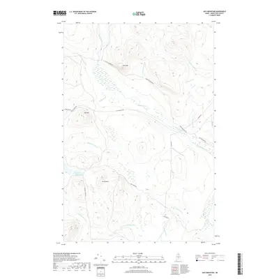
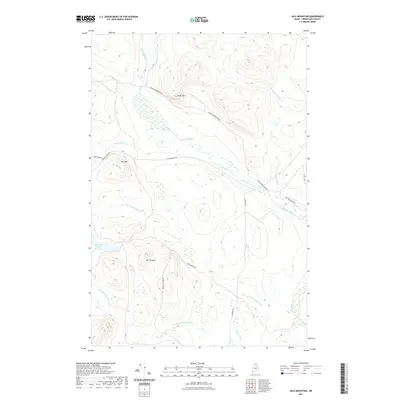
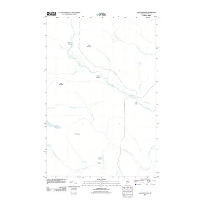 2011 Jack Mountain2011 Print · USGSCovers T11 R8 WELS, including McKeen Crossing, T11 R7 WELS, and other nearby areas
 - 2014 Map of Big Machias Lake, 2014 Print
 2014 Big Machias Lake2014 Print · USGSCovers T11 R8 WELS, including T12 R9 WELS, T11 R9 WELS, and other nearby areas
 - 2014 Map of Greenlaw Pond, 2014 Print
 2014 Greenlaw Pond2014 Print · USGSCovers T11 R8 WELS, including Greenlaw Crossing, Russell Crossing, and other nearby areas
 - 2014 Map of Jack Mountain, 2014 Print
 2014 Jack Mountain2014 Print · USGSCovers T11 R8 WELS, including McKeen Crossing, T11 R7 WELS, and other nearby areas
 - 2014 Map of Round Mountain, 2014 Print
 2014 Round Mountain2014 Print · USGSCovers T11 R8 WELS, including Round Mountain, T10 R9 WELS, and other nearby areas
 - 2018 Map of Jack Mountain, 2018 Print
 2018 Jack Mountain2018 Print · USGSCovers T11 R8 WELS, including McKeen Crossing, T11 R7 WELS, and other nearby areas
 - 2018 Map of Big Machias Lake, 2018 Print
 2018 Big Machias Lake2018 Print · USGSCovers T11 R8 WELS, including T12 R9 WELS, T11 R9 WELS, and other nearby areas
 - 2018 Map of Greenlaw Pond, 2018 Print
 2018 Greenlaw Pond2018 Print · USGSCovers T11 R8 WELS, including Greenlaw Crossing, Russell Crossing, and other nearby areas
 - 2018 Map of Round Mountain, 2018 Print
 2018 Round Mountain2018 Print · USGSCovers T11 R8 WELS, including Round Mountain, T10 R9 WELS, and other nearby areas
 - 2021 Map of Jack Mountain, 2021 Print
 2021 Jack Mountain2021 Print · USGSCovers T11 R8 WELS, including McKeen Crossing, T11 R7 WELS, and other nearby areas
 - 2021 Map of Big Machias Lake, 2021 Print
 2021 Big Machias Lake2021 Print · USGSCovers T11 R8 WELS, including T12 R9 WELS, T11 R9 WELS, and other nearby areas
 - 2021 Map of Round Mountain, 2021 Print
 2021 Round Mountain2021 Print · USGSCovers T11 R8 WELS, including Round Mountain, T10 R9 WELS, and other nearby areas
 - 2021 Map of Greenlaw Pond, 2021 Print
 2021 Greenlaw Pond2021 Print · USGSCovers T11 R8 WELS, including Greenlaw Crossing, Russell Crossing, and other nearby areas
 - 2024 Map of Jack Mountain, 2024 Print
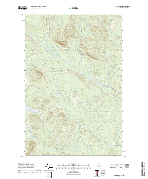 2024 Jack Mountain2024 Print · USGSAroostook County's timberlands are captured here in the early twenty-first century, showing the dense network of logging roads and waterways. Trace the paths of Jack Mountain Rd and Foster Rand Brook Rd as they navigate the slopes of Jack Mtn.
 - 2024 Map of Greenlaw Pond, 2024 Print
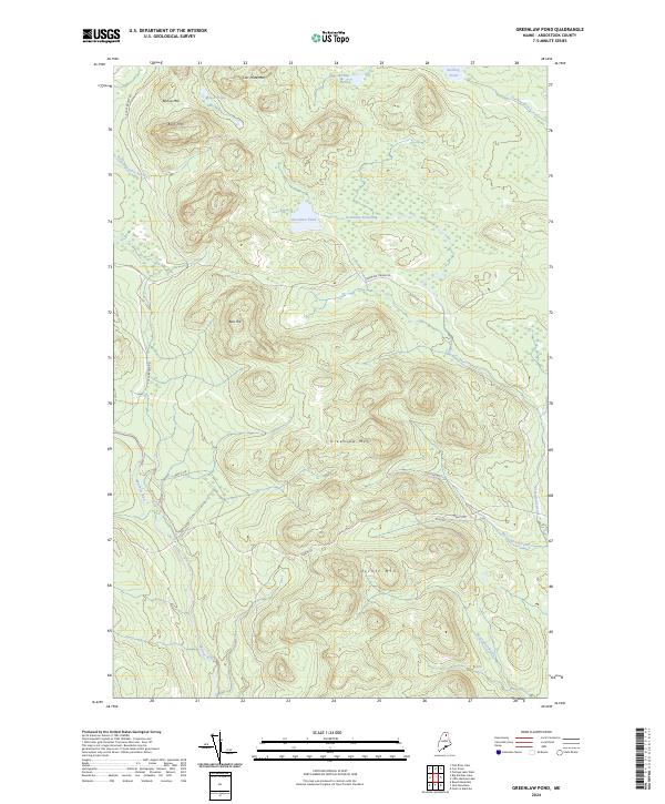 2024 Greenlaw Pond2024 Print · USGSAroostook County's interior wilderness is shown here in the 2020s, a landscape defined by high timber ridges and the headwaters of the Machias River. Trace the logging roads through T12 R8 WELS to reach remote waters like Greenlaw Pond and Bishop Pond.
 - 2024 Map of Big Machias Lake, 2024 Print
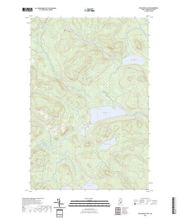 2024 Big Machias Lake2024 Print · USGSAroostook County's deep timberlands and complex waterways are captured here in the modern era. Trace the logging routes of Realty Rd and the feeder streams of Big Machias Lake, including Twentymile Brook and the Machias River.
 - 2024 Map of Round Mountain, 2024 Print
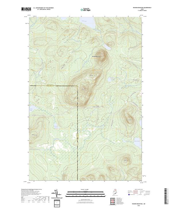 2024 Round Mountain2024 Print · USGSThe deep Maine woods of Aroostook and Piscataquis counties are captured here in the mid-2020s. Researchers can trace the network of logging routes and interior waters including Rowe Lake, Weeks Pond, and the high terrain of Round Mountain.
End of results
Showing maps 1-20 of 20
Top cities near T11 R8 WELS
Top neighborhoods of T11 R8 WELS
Frequently asked questions
- What are the different types of historical maps available for T11 R8 WELS?
- What is the oldest map of T11 R8 WELS?
- Where can I purchase historical maps of T11 R8 WELS for my home or office?
- Where can I download high-res historical maps of T11 R8 WELS?
- Are there historical topographic maps available for T11 R8 WELS?
- Is there historical aerial imagery available for T11 R8 WELS?
- Where are historical maps of T11 R8 WELS sourced from?