Old Maps of T14 R5 WELS, Maine
Explore 35 old maps of T14 R5 WELS, spanning from 1929 to today. These high-resolution historic maps reveal how streets, neighborhoods, landmarks, and natural features evolved over time — perfect for genealogy, metal detecting, research, and local history exploration.
What you can do with these maps:
- See how T14 R5 WELS changed over time: Compare historical maps to modern-day views to trace roads, homesites, rail lines & more.
- View detailed metadata: Each map includes creators, publishers, year, scale, and archive source.
- Overlay maps with satellite & LiDAR: Visualize the past alongside modern tools to explore terrain & human change.
- Trusted historical sources: Maps sourced from the USGS, Library of Congress, and other archives.
- Access maps your way: View online, download high-res files, or order prints for personal or research use.
Start exploring old maps of T14 R5 WELS to uncover forgotten places, hidden landmarks, and the deep history beneath your feet.
T14 R5 WELS, ME maps
(35)- 1929 Map of Portage
 1929 Portage1929 Print · USGSNorthern Maine timber country comes to life in the late 1920s as logging camps and rail lines penetrate the deep woods. Genealogists and historians can trace the early industrial landscape through the Old Shingle Mill, Holts Sch, and numerous family-named camps like McDugal Camp.3 unique versions available
 - 1931 Map of Portage
 1931 Portage1931 Print · USGSAroostook County's deep woods and logging heritage are preserved here as they appeared between the wars, from the shores of Portage Lake to the remote camps of Westmanland. Researchers can trace the early rail network of the Bangor and Aroostook or locate industrial sites like the Old Shingle Mill.3 unique versions available
 - 1953 Map of Portage, 1955 Print
 1953 Portage1955 Print · USGSThe northern Maine timberlands around Portage are shown in the mid-fifties just as modern logging began to shift the landscape. Trace old family camps like Hoit Camp, the industrial site of the Old Shingle Mill, and the Bangor and Aroostook rail line.4 unique versions available
 - 1954 Map of Presque Isle, 1968 Print
 1954 Presque Isle1968 Print · USGSNorth Woods logging and rail history come alive in this mid-century survey of the Maine-Quebec borderlands. Genealogists and historians can trace the Bangor and Aroostook railroad through timber hubs like Ashland, Smyrna Mills, and Presque Isle.2 unique versions available
 - 1958 Map of Presque Isle
 1958 Presque Isle1958 Print · USGSThe Aroostook timber and potato country is captured here during the late fifties, showing the vital rail-to-river network of Northern Maine. Genealogists and historians can trace the Bangor & Aroostook RR through Mapleton and Ashland, or locate remote sites like Chamberlain Farm and Seven Islands.
 - 1960 Map of Presque Isle
 1960 Presque Isle1960 Print · USGSNorthern Maine during the mid-century was a land of timber, rails, and strategic airfields. Genealogists and historians can trace the growth of Presque Isle and Ashland or explore the remote northern reaches of Baxter State Park and Presque Isle AFB.3 unique versions available
 - 1975 Map of Portage NW, 1981 Print
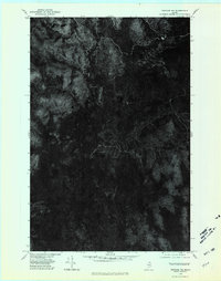 1975 Portage NW1981 Print · USGSAroostook County's deep timberlands are captured from above in the mid-1970s, revealing the intricate network of forest roads and waterways. Researchers can trace the shoreline of Mcclusky Lake and the winding path of Beaver Brook through the dense Maine woods.
 - 1975 Map of Portage NE, 1981 Print
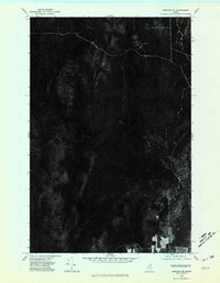 1975 Portage NE1981 Print · USGSNorthern Maine's timberlands are seen in detail during the mid-seventies, documenting the isolated settlement patterns of the deep woods. Researchers can trace forest roads and the small community at Hanford.
 - 1975 Map of Portage SW, 1981 Print
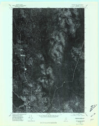 1975 Portage SW1981 Print · USGSAroostook County's timberlands and the lakeside village of Portage are captured in this mid-seventies aerial survey. Researchers can trace the exact footprint of the settlement near Portage Lake or locate landmarks like Lanigan Mountain.
 - 1975 Map of Portage SE, 1981 Print
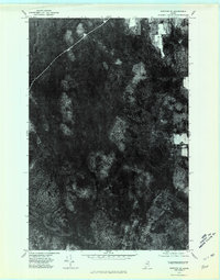 1975 Portage SE1981 Print · USGSAroostook County was deeply immersed in timber production during the 1970s, as shown in this detailed orthophotomap. Researchers can trace the path of Beaver Brook through the dense forest canopy and identify old logging roads and clearings.
 - 1986 Map of Portage Lake East
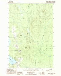 1986 Portage Lake East1986 Print · USGSNorthern Maine timber country comes into focus in the mid-eighties, centered on the lakeside settlement of Portage. Researchers can trace the Bangor and Aroostook rail line, local landmarks like Lanigan Mtn, and the small community at Buffalo.
 - 1986 Map of Bull Brook
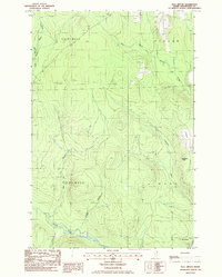 1986 Bull Brook1986 Print · USGSNorthern Maine's timberlands are captured in the mid-1980s, showing the remote township lines of Wade and Perham. Genealogists and historians can locate isolated sites like Thompson Camp, Drost Camp, and the Lookout Tower on Story Hill.
 - 1986 Map of Mc Clusky Lake
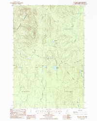 1986 Mc Clusky Lake1986 Print · USGSAroostook County's remote timberlands are captured here in the mid-1980s, revealing a landscape of high ridges and glacial water. Researchers can trace land features like Goddard Ridge, the heights of Pennington Mountain, and local waters like Joe Dubay Brook.
 - 1986 Map of Hanford
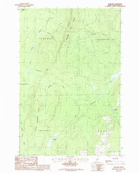 1986 Hanford1986 Print · USGSNorthern Aroostook County during the mid-1980s reveals a landscape of high timber ridges and winding waterways at the edge of the deep woods. Trace the local topography through Square Lake Ridge, the settlement at Hanford, and family-named features like Joe Dubay Bk.
 - 1994 Map of Presque Isle
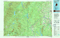 1994 Presque Isle1994 Print · USGSAroostook County in the mid-nineties shows a landscape defined by timber, rail, and river-valley farming. Genealogists and historians can trace the Bangor & Aroostook RR through small stations and settlements like Winterville Sta, Buffalo, and Sheridan.
 - 2011 Map of Bull Brook, 2011 Print
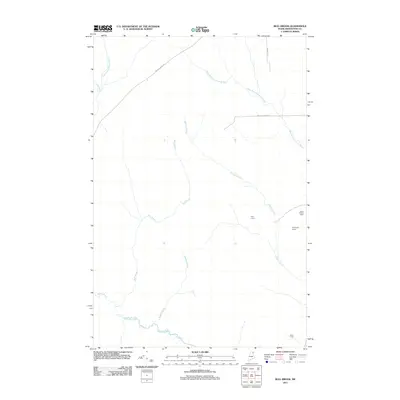 2011 Bull Brook2011 Print · USGSNorthern Maine's timberlands appear in detail during the early twenty-first century, showcasing a network of remote outposts and waterways. Genealogists and local historians can locate specific sites like Hoit Camp, Drost Camp, and the Story Hill Fire Tower.
 - 2011 Map of Portage Lake East, 2011 Print
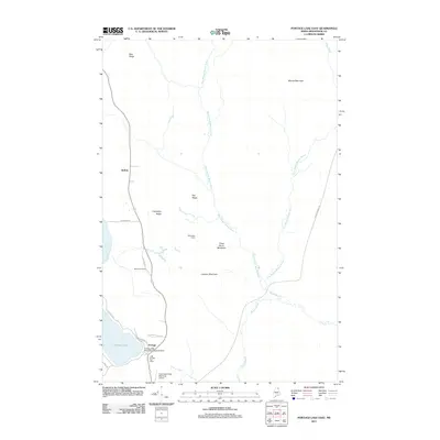 2011 Portage Lake East2011 Print · USGSPortage Lake and the surrounding Aroostook County timberlands are documented here in the early twenty-first century. Researchers can locate the Portage Post Office, trace family names at Buffalo Cemetery, and see specialized aviation sites like the Portage Lake Municipal Seaplane Base.
 - 2011 Map of McClusky Lake, 2011 Print
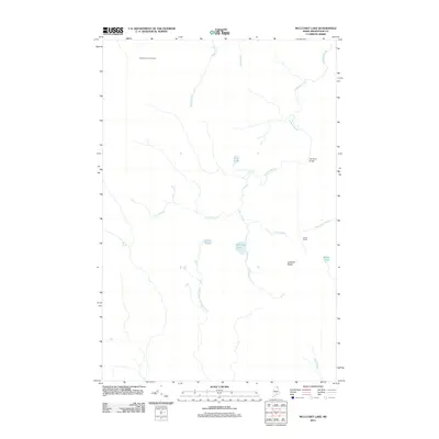 2011 McClusky Lake2011 Print · USGSAroostook County's backcountry is captured here during the early twenty-first century, showcasing a landscape defined by timber heritage and isolated sporting camps. Researchers can locate remote landmarks like Sands Camp, the Three Brooks Fire Tower, and the Old Chain Bridge.
 - 2011 Map of Hanford, 2011 Print
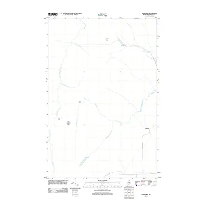 2011 Hanford2011 Print · USGSAroostook County's timberlands and remote outposts are well-documented in this early twenty-first-century survey. Genealogists and historians can locate heritage sites like the Old Shingle Mill and wilderness settlements including Hanford, Guerette Camp, and Dean Camp.
 - 2014 Map of Hanford, 2014 Print
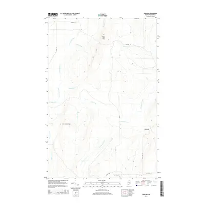 2014 Hanford2014 Print · USGSAroostook County's timberlands and remote watersheds are captured here in the early twenty-first century. Researchers can trace land features like Square Lake Ridge and find water bodies such as Bog Lake and the Little Madawaska River.
 - 2014 Map of Portage Lake East, 2014 Print
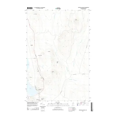 2014 Portage Lake East2014 Print · USGSPortage and the shoreline of Portage Lake are shown in detail during the early twenty-first century as the community centers on its lakeshore roads. Genealogists can trace local landmarks like Goodblood Cem, the settlement of Buffalo, and the Allen St Peter Memorial Airport.
 - 2014 Map of McClusky Lake, 2014 Print
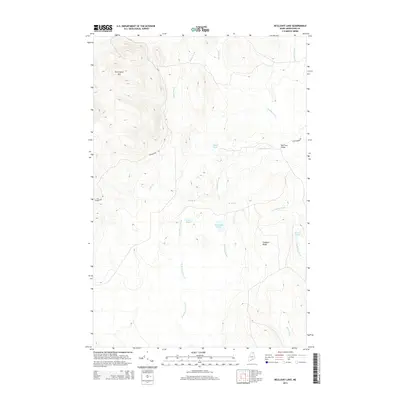 2014 McClusky Lake2014 Print · USGSAroostook County's North Woods are documented here in the early twenty-first century, showing a remote landscape of timberland and glacial lakes. Trace the history of backcountry access via the Old Chain Bridge or locate landmarks like Pennington Mtn and McClusky Lake.
 - 2014 Map of Bull Brook, 2014 Print
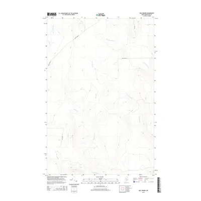 2014 Bull Brook2014 Print · USGSNorthern Maine's timberlands are mapped here in the early twenty-first century, showing the drainage of the Aroostook County woods. Researchers can trace the courses of Bull Brook and Gardner Brook or follow backroads like Beaver Brook Rd and Mouse Island Rd.
 - 2018 Map of McClusky Lake, 2018 Print
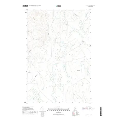 2018 McClusky Lake2018 Print · USGSAroostook County's deep woods and water systems are meticulously charted in this recent topographical study. Historians and outdoorsmen can trace the routes of Moose Horn Rd and find the landmark Old Chain Bridge crossing Goddard Brook.
 - 2018 Map of Bull Brook, 2018 Print
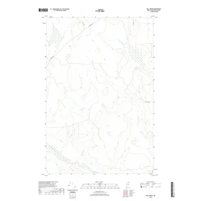 2018 Bull Brook2018 Print · USGSNorthern Aroostook County is shown here in the late twenty-teens, dominated by the winding headwaters of the North Woods. Genealogists and outdoorsmen can trace the remote drainage of Bull Brook and locate quiet access points like Bog Lake Rd or Conroy Rd.
Showing maps 1-25 of 35
Top cities near T14 R5 WELS
- Mapleton historical maps
- Washburn historical maps
- Woodland historical maps
- Ashland historical maps
- Eagle Lake historical maps
- New Sweden historical maps
See more
Frequently asked questions
- What are the different types of historical maps available for T14 R5 WELS?
- What is the oldest map of T14 R5 WELS?
- Where can I purchase historical maps of T14 R5 WELS for my home or office?
- Where can I download high-res historical maps of T14 R5 WELS?
- Are there historical topographic maps available for T14 R5 WELS?
- Is there historical aerial imagery available for T14 R5 WELS?
- Where are historical maps of T14 R5 WELS sourced from?