Old Maps of Eagle Lake, Maine
Explore 18 old maps of Eagle Lake, spanning from 1928 to today. These high-resolution historic maps reveal how streets, neighborhoods, landmarks, and natural features evolved over time — perfect for genealogy, metal detecting, research, and local history exploration.
What you can do with these maps:
- See how Eagle Lake changed over time: Compare historical maps to modern-day views to trace roads, homesites, rail lines & more.
- View detailed metadata: Each map includes creators, publishers, year, scale, and archive source.
- Overlay maps with satellite & LiDAR: Visualize the past alongside modern tools to explore terrain & human change.
- Trusted historical sources: Maps sourced from the USGS, Library of Congress, and other archives.
- Access maps your way: View online, download high-res files, or order prints for personal or research use.
Start exploring old maps of Eagle Lake to uncover forgotten places, hidden landmarks, and the deep history beneath your feet.
Eagle Lake, ME maps
(18)- 1928 Map of Eagle Lake
 1928 Eagle Lake1928 Print · USGSAroostook County's northern timberlands and rail sidings are meticulously mapped here in the late 1920s. Genealogists can trace family roots through the Violette Settlement, St Marks Ch, and numerous country schools like Shakespeare Sch.5 unique versions available
 - 1931 Map of Eagle Lake
 1931 Eagle Lake1931 Print · USGSThe Aroostook County borderlands in the early thirties were a landscape of remote timber camps and French-Acadian settlements along the river bends. Genealogists and local historians can trace family-named sites like Violette Settlement, Labby Michaud PO, and the Plourde Mill.4 unique versions available
 - 1962 Map of Edmundston, 1966 Print
 1962 Edmundston1966 Print · USGSThe international borderlands of northern Maine and Canada come alive here during the early sixties, centered on the river-and-rail economies of the day. Genealogists and historians can trace the paths of the Bangor and Aroostook railroad through river towns like Fort Kent and St Agatha.2 unique versions available
 - 1975 Map of Eagle Lake SW, 1981 Print
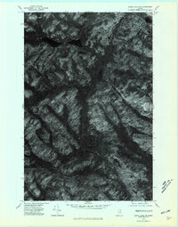 1975 Eagle Lake SW1981 Print · USGSAroostook County's deep woodlands and water systems are seen here in the mid-seventies via detailed aerial imagery. Researchers can trace the natural flow of Wallagrass Stream or examine the remote shorelines of Dickwood Lake and Wallagrass Lakes.
 - 1975 Map of Eagle Lake SE, 1981 Print
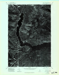 1975 Eagle Lake SE1981 Print · USGSAroostook County's deep woods and waterways are captured in detail in the mid-1970s through this aerial orthophotoquad. Researchers can trace the precise development of PLAISTED and the town of EAGLE LAKE, alongside the natural contours of the FISH RIVER.
 - 1985 Map of Eagle Lake, 1986 Print
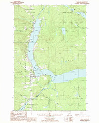 1985 Eagle Lake1986 Print · USGSAroostook County's lake country is captured in the 1980s, showing the vital water connection between Eagle Lake and the Fish River. Researchers can trace local landmarks like the Plaisted village center, the Winterville Plantation boundary, and the Thoroughfare waterway.
 - 1985 Map of Wallagrass Lakes, 1986 Print
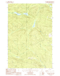 1985 Wallagrass Lakes1986 Print · USGSNorthern Maine's lake country is captured in the mid-1980s when timber and water dominated the landscape of the northern townships. Researchers can trace the drainage patterns of Wallagrass Lakes and identify early land divisions in St John Plantation and Winterville Plantation.
 - 1994 Map of Madawaska
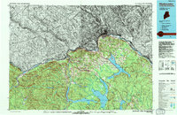 1994 Madawaska1994 Print · USGSThe St John Valley in the 1990s remained a unique cultural crossroads of Maine and New Brunswick, centered on the river and the rails. Genealogists and historians can trace family-named settlements like Violette Settlement or explore the shores of Eagle Lake and Long Lake.
 - 2011 Map of Eagle Lake, 2011 Print
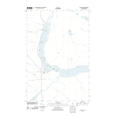 2011 Eagle Lake2011 Print · USGSAroostook County's lake country is captured here in the early twenty-first century, showing the established communities and remote camps of northern Maine. Genealogists and local historians can trace family-named landmarks and settlements from Plaisted to Eagle Lake, including Saucier Camp and Wiles Camp.
 - 2011 Map of Wallagrass Lakes, 2011 Print
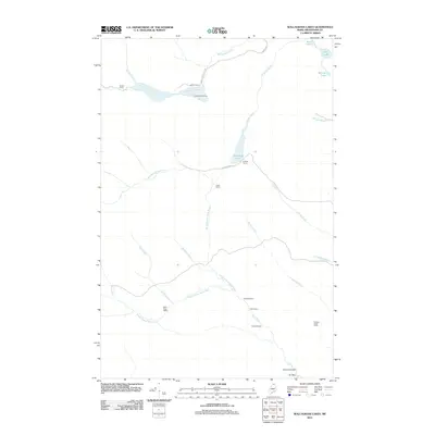 2011 Wallagrass Lakes2011 Print · USGSAroostook County's working forests and seasonal camps are well-preserved in this modern survey of the North Woods. Genealogists and local historians can locate specific family-named sites like Laliberte Camp, Cotes Camp, and Austins Dam.
 - 2014 Map of Eagle Lake, 2014 Print
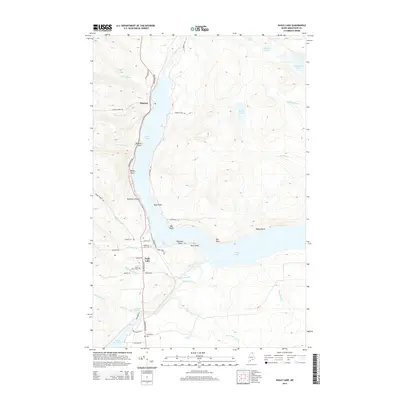 2014 Eagle Lake2014 Print · USGSThe Aroostook County lake country is captured here during the mid-2010s, showing the established communities and water-dependent geography of the Fish River chain. Researchers can trace family history through Saint Marys Cem and follow the old lakefront road-network past Plaisted and Nadeau Thoroughfare.
 - 2014 Map of Wallagrass Lakes, 2014 Print
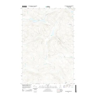 2014 Wallagrass Lakes2014 Print · USGSNorthern Maine's interior timberlands and glacial waterways are meticulously documented in this early twenty-first-century survey. Researchers and outdoorsmen can trace remote access routes like Wallagrass Tote Rd and explore the depths of Dickwood Lake or the Wallagrass Lakes chain.
 - 2018 Map of Eagle Lake, 2018 Print
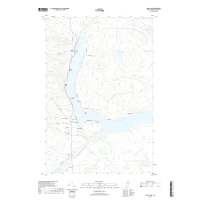 2018 Eagle Lake2018 Print · USGSAroostook County’s northern lake country is shown in detail during the late twenty-teens, centering on the vital waterway connection between Eagle Lake and Saint Froid Lake. Researchers can trace local genealogy and land use through features like Plaisted, Saint Marys Cem, and the winding Fish River valley.
 - 2018 Map of Wallagrass Lakes, 2018 Print
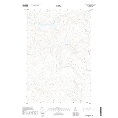 2018 Wallagrass Lakes2018 Print · USGSNorthern Maine's timberlands are mapped here during the late 2010s, showcasing the intricate drainage of the Birch River basin. Trace the remote forest routes of Wallagrass Tote Rd and Convent Rd past Isie Lake and Mud Lake.
 - 2021 Map of Eagle Lake, 2021 Print
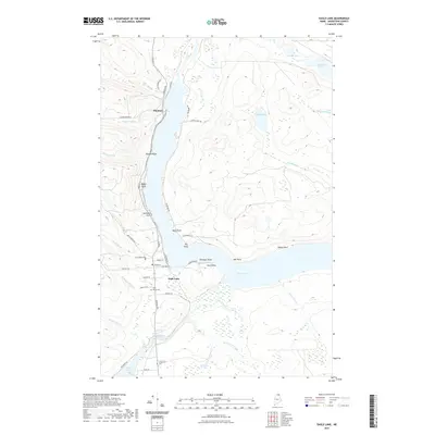 2021 Eagle Lake2021 Print · USGSAroostook County's northern waters are captured here in the early twenty-first century, centered on the communities of Eagle Lake and Plaisted. Researchers can trace local genealogy and land use through landmarks like Saint Marys Cem, Longfellow Cem, and the networks along Fish River.
 - 2021 Map of Wallagrass Lakes, 2021 Print
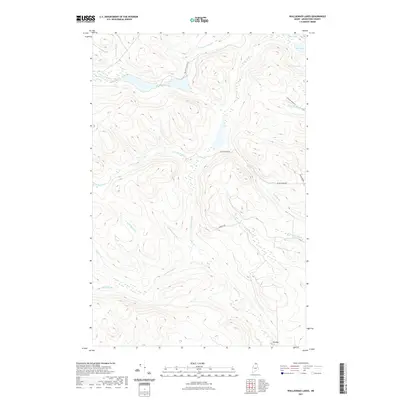 2021 Wallagrass Lakes2021 Print · USGSNorthern Maine's Aroostook County landscape is captured here in the contemporary era, showing a dense network of forest roads and remote lakes. Researchers can trace the paths of Wallagrass Tote Rd and Convent Rd as they pass Marcial Lake and Isle Lake.
 - 2024 Map of Wallagrass Lakes, 2024 Print
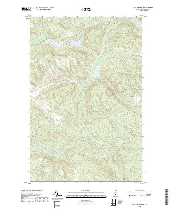 2024 Wallagrass Lakes2024 Print · USGSAroostook County's northern woods and waterways are mapped here in the early twenty-first century, showing a landscape defined by timber and stream. Trace the routes of Wallagrass Tote Rd and Convent Rd past landmarks like Mud Lake and Ox Bow.
 - 2024 Map of Eagle Lake, 2024 Print
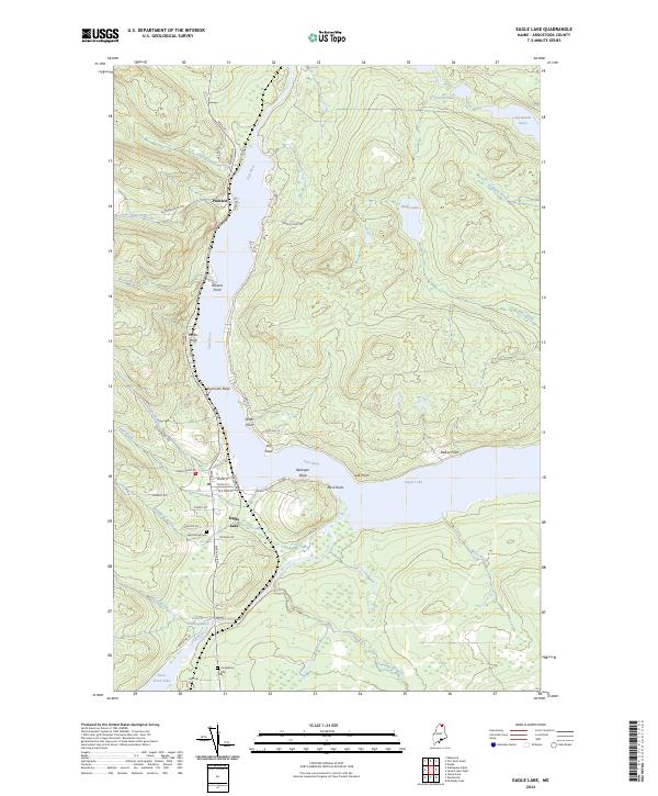 2024 Eagle Lake2024 Print · USGSNorthern Maine's lake country is mapped in detail here, showing the communities and waterfronts of the Fish River chain in the early twenty-first century. Genealogists and local historians can trace family-named locations such as Seymours Point and Belanger Point, or locate the Saint Marys Cem and Longfellow Cem.
End of results
Showing maps 1-18 of 18
Top cities near Eagle Lake
- Fort Kent historical maps
- Frenchville historical maps
- Saint Agatha historical maps
- Square Lake historical maps
- Wallagrass historical maps
- Saint Francis historical maps
See more
Top neighborhoods of Eagle Lake
Frequently asked questions
- What are the different types of historical maps available for Eagle Lake?
- What is the oldest map of Eagle Lake?
- Where can I purchase historical maps of Eagle Lake for my home or office?
- Where can I download high-res historical maps of Eagle Lake?
- Are there historical topographic maps available for Eagle Lake?
- Is there historical aerial imagery available for Eagle Lake?
- Where are historical maps of Eagle Lake sourced from?