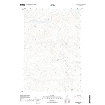
2018 Map of Wallagrass Lakes
USGS Topo · Published 2018About this map
Wallagrass Stream and its tributaries define this landscape in Northern Maine, where the waters of Godfrey Brook and Drake Brook feed into a network of small, highland lakes. The upper reaches of the Birch River watershed are prominently featured, including the N Br Birch River and S Br Birch River, which drain through the timberlands. The topography is marked by these narrow stream valleys and isolated water bodies like Isie Lake and Marcial Lake. Settlement is nearly absent from this terrain, which is primarily accessed via industrial and forest passages such as Wallagrass Tote Rd and Convent Rd. The lack of dense development preserves the historical drainage patterns of the Ouellette Brook and Pinette Brook, providing a clear look at the region’s hydrological character before modern expansion.
Find a feature on this map
23 named features on this map. Tap any name to fly to it.
Don’t see what you’re looking for? This feature index may not catch every label — zoom into the map to look around manually.
Map Details
Editions of this 2018 Wallagrass Lakes Map
This is the sole edition of this map. No revisions or reprints were ever made.
Other maps of this area

1928 · Eagle Lake
USGS Topo · 1:48,000

1928 · Winterville
USGS Topo · 1:48,000

1930 · St Francis
USGS Topo · 1:48,000

1931 · Fish River Lake
USGS Topo · 1:48,000

1931 · Eagle Lake
USGS Topo · 1:62,500

1931 · Winterville
USGS Topo · 1:62,500

1933 · St Francis
USGS Topo · 1:62,500

1935 · Fish River Lake
USGS Topo · 1:62,500

1954 · Presque Isle
USGS Topo · 1:250,000

1958 · Presque Isle
USGS Topo · 1:250,000