2000s (21st Century) Maps of Eagle Lake, Maine
Explore 10 historic maps of Eagle Lake from the 2000s (21st Century). These maps offer a rare glimpse into what life looked like during the 2000s — showing old roads, neighborhoods, homes, and landmarks that have changed or disappeared over time.
Whether you're researching your family's past, planning a metal detecting trip, or studying how Eagle Lake's landscape evolved across the 2000s, these high-resolution maps are a powerful tool for exploring the history of this region.
- Focus on a specific era: All maps on this page are from the 2000s, giving you a focused view of this time period.
- See what’s changed: Compare century-old streets, trails, and buildings to today's modern landscape using overlays and satellite layers.
- Research with precision: Use these maps for genealogy, historical research, land use analysis, or educational projects.
- View, download, or print: Maps are fully viewable online in high resolution, and can be downloaded or printed for your own records.
Start exploring Eagle Lake's history through authentic maps from the 2000s. This is your window into the past.
Eagle Lake, ME maps
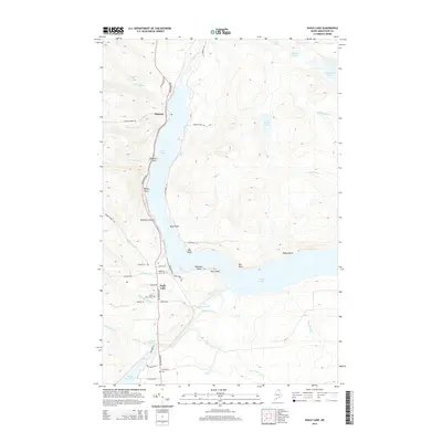
(10)- 2011 Map of Eagle Lake, 2011 Print
 2011 Eagle Lake2011 Print · USGSCovers Eagle Lake, including Wallagrass, New Canada, and other nearby areas
 - 2011 Map of Wallagrass Lakes, 2011 Print
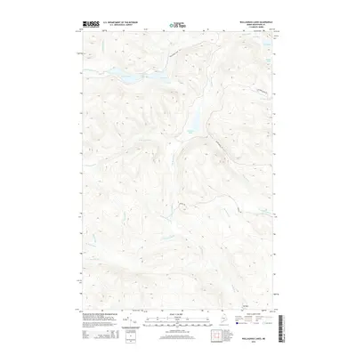
 2011 Wallagrass Lakes2011 Print · USGSCovers Eagle Lake, including Wallagrass, Saint John Plantation, and other nearby areas
 - 2014 Map of Eagle Lake, 2014 Print
 2014 Eagle Lake2014 Print · USGSCovers Eagle Lake, including Wallagrass, New Canada, and other nearby areas
 - 2014 Map of Wallagrass Lakes, 2014 Print
 2014 Wallagrass Lakes2014 Print · USGSCovers Eagle Lake, including Wallagrass, Saint John Plantation, and other nearby areas
 - 2018 Map of Eagle Lake, 2018 Print
 2018 Eagle Lake2018 Print · USGSCovers Eagle Lake, including Wallagrass, New Canada, and other nearby areas
 - 2018 Map of Wallagrass Lakes, 2018 Print
 2018 Wallagrass Lakes2018 Print · USGSCovers Eagle Lake, including Wallagrass, Saint John Plantation, and other nearby areas
 - 2021 Map of Eagle Lake, 2021 Print
 2021 Eagle Lake2021 Print · USGSCovers Eagle Lake, including Wallagrass, New Canada, and other nearby areas
 - 2021 Map of Wallagrass Lakes, 2021 Print
 2021 Wallagrass Lakes2021 Print · USGSCovers Eagle Lake, including Wallagrass, Saint John Plantation, and other nearby areas
 - 2024 Map of Wallagrass Lakes, 2024 Print
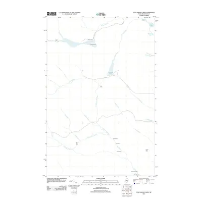
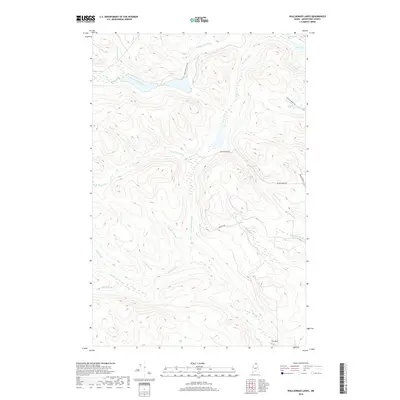
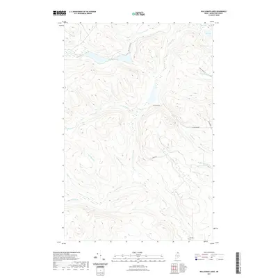
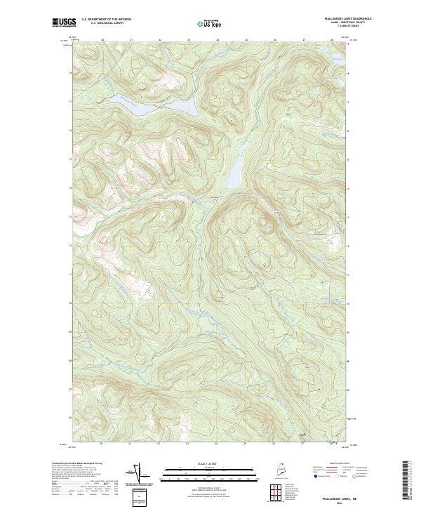 2024 Wallagrass Lakes2024 Print · USGSAroostook County's northern woods and waterways are mapped here in the early twenty-first century, showing a landscape defined by timber and stream. Trace the routes of Wallagrass Tote Rd and Convent Rd past landmarks like Mud Lake and Ox Bow.
 - 2024 Map of Eagle Lake, 2024 Print
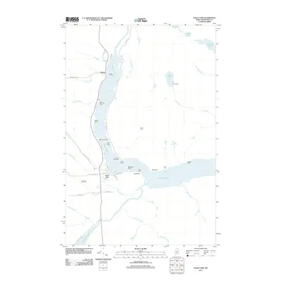
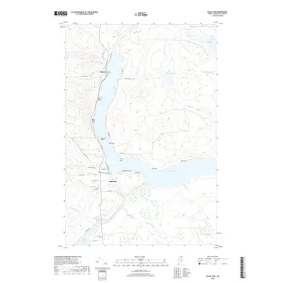
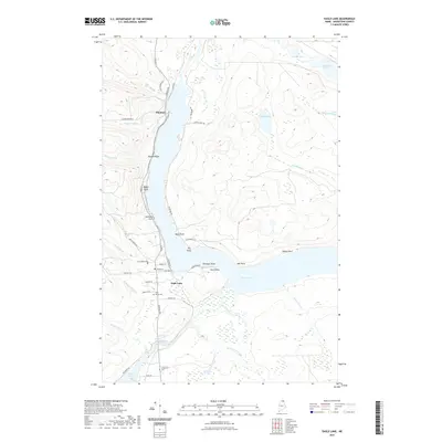
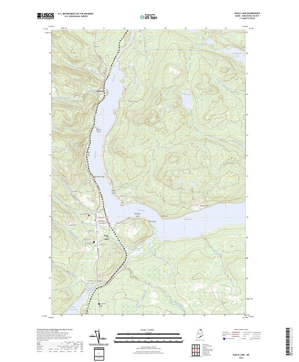 2024 Eagle Lake2024 Print · USGSNorthern Maine's lake country is mapped in detail here, showing the communities and waterfronts of the Fish River chain in the early twenty-first century. Genealogists and local historians can trace family-named locations such as Seymours Point and Belanger Point, or locate the Saint Marys Cem and Longfellow Cem.
End of results
Showing maps 1-10 of 10
Top cities near Eagle Lake
- Fort Kent historical maps
- Frenchville historical maps
- Saint Agatha historical maps
- Square Lake historical maps
- Wallagrass historical maps
- Saint Francis historical maps
See more
Top neighborhoods of Eagle Lake
Frequently asked questions
- What are the different types of historical maps available for Eagle Lake?
- What is the oldest map of Eagle Lake?
- Where can I purchase historical maps of Eagle Lake for my home or office?
- Where can I download high-res historical maps of Eagle Lake?
- Are there historical topographic maps available for Eagle Lake?
- Is there historical aerial imagery available for Eagle Lake?
- Where are historical maps of Eagle Lake sourced from?