1970s Maps of T15 R15 WELS, Maine
Explore 5 historic maps of T15 R15 WELS from the 1970s. These maps offer a rare glimpse into what life looked like during the 1970s — showing old roads, neighborhoods, homes, and landmarks that have changed or disappeared over time.
Whether you're researching your family's past, planning a metal detecting trip, or studying how T15 R15 WELS's landscape evolved across the 1970s, these high-resolution maps are a powerful tool for exploring the history of this region.
- Focus on a specific era: All maps on this page are from the 1970s, giving you a focused view of this time period.
- See what’s changed: Compare century-old streets, trails, and buildings to today's modern landscape using overlays and satellite layers.
- Research with precision: Use these maps for genealogy, historical research, land use analysis, or educational projects.
- View, download, or print: Maps are fully viewable online in high resolution, and can be downloaded or printed for your own records.
Start exploring T15 R15 WELS's history through authentic maps from the 1970s. This is your window into the past.
T15 R15 WELS, ME maps
(5)- 1976 Map of East Lake SE, 1983 Print
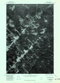
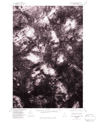 1976 East Lake SE1983 Print · USGSAroostook County's remote timberlands are captured in detail during the mid-seventies, showing the vast network of forestry roads and natural waterways. Researchers can trace the path of the Branch through the dense forest canopy and study the patterns of land use in this borderland wilderness.2 unique versions available
 - 1976 Map of St. Pamphile, 1983 Print
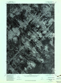 1976 St. Pamphile1983 Print · USGSThe international borderlands of northern Maine and Quebec are captured in the mid-1970s, revealing the unique long-lot farm patterns of the region. Researchers can trace the layout of St Pamphile and the drainage of the Black River and Good Brook.
 - 1976 Map of Ninemile Deadwater, 1983 Print
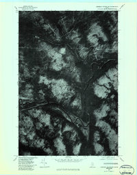 1976 Ninemile Deadwater1983 Print · USGSThe northern Maine woods along the Big Black River are captured in the mid-seventies in this detailed orthophoto study. Foresters and regional historians can trace the specific water paths of the Ninemile Deadwater and Ninemile Brook.
 - 1977 Map of Charles Pond, 1983 Print
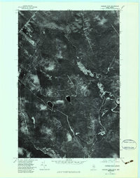 1977 Charles Pond1983 Print · USGSThe Maine-Quebec borderlands appear in striking detail in the late seventies, showing the dense timber and river systems of the North Woods. Sportsmen and forest historians can trace the meandering Big Black River and the remote shores of Charles Pond.
 - 1977 Map of St. Omer, 1983 Print
 1977 St. Omer1983 Print · USGSThe northern Maine borderlands near Aroostook County are shown in the late seventies through this detailed aerial orthophotograph. Researchers can trace the layout of the settlement at St Omer and examine the intricate network of logging roads and timber tracts.
End of results
Showing maps 1-5 of 5
Top neighborhoods of T15 R15 WELS
Frequently asked questions
- What are the different types of historical maps available for T15 R15 WELS?
- What is the oldest map of T15 R15 WELS?
- Where can I purchase historical maps of T15 R15 WELS for my home or office?
- Where can I download high-res historical maps of T15 R15 WELS?
- Are there historical topographic maps available for T15 R15 WELS?
- Is there historical aerial imagery available for T15 R15 WELS?
- Where are historical maps of T15 R15 WELS sourced from?