Old Maps of T15 R9 WELS, Maine for Academic Research
Study the evolution of T15 R9 WELS with 38 high-resolution historic maps. Whether you're teaching, researching, or modeling changes in land use, these maps provide essential visual documentation of urban, environmental, and geographic change.
- Analyze long-term change: Track patterns in development, transportation, and natural features.
- Ideal for environmental or urban studies: Support academic projects with primary historical map data.
- Use in the classroom or lab: Educators and researchers rely on these maps to bring historical context to life.
These maps are a powerful tool for teaching, research, and visualizing how T15 R9 WELS has changed over the decades.
T15 R9 WELS, ME maps
(38)- 1930 Map of St Francis
 1930 St Francis1930 Print · USGSThe Maine-Canada borderland comes alive in the early thirties as a hub of rail-and-river activity along the St John River. Genealogists and researchers can trace family lands near St Francis, local schoolhouses like Harding Sch, and logging sites like Saucier Camp.5 unique versions available
 - 1931 Map of Fish River Lake
 1931 Fish River Lake1931 Print · USGSAroostook County was a hub of remote milling and sporting life in the early 1930s. Genealogists and historians can locate specific sites like Wheelock Mill, Blanchards Depot Camp, and the Fire Tower monitoring the timberlands.4 unique versions available
 - 1933 Map of St Francis
 1933 St Francis1933 Print · USGSThe northern reaches of Aroostook County are captured here in the 1930s, showing the border settlements along the St John River. Genealogists and local historians can trace family locations near St Francis, the Bangor and Aroostook rail line, and the McKinley Sch.3 unique versions available
 - 1935 Map of Fish River Lake
 1935 Fish River Lake1935 Print · USGSAroostook County's remote wilderness is captured in the mid-1930s, documenting a landscape of timber camps and glacial ponds. Researchers can locate early twentieth-century outposts like Red River Camps and Bishops Camps or trace the drainage of the Fish River Lake.3 unique versions available
 - 1954 Map of Presque Isle, 1968 Print
 1954 Presque Isle1968 Print · USGSNorth Woods logging and rail history come alive in this mid-century survey of the Maine-Quebec borderlands. Genealogists and historians can trace the Bangor and Aroostook railroad through timber hubs like Ashland, Smyrna Mills, and Presque Isle.2 unique versions available
 - 1958 Map of Presque Isle
 1958 Presque Isle1958 Print · USGSThe Aroostook timber and potato country is captured here during the late fifties, showing the vital rail-to-river network of Northern Maine. Genealogists and historians can trace the Bangor & Aroostook RR through Mapleton and Ashland, or locate remote sites like Chamberlain Farm and Seven Islands.
 - 1960 Map of Presque Isle
 1960 Presque Isle1960 Print · USGSNorthern Maine during the mid-century was a land of timber, rails, and strategic airfields. Genealogists and historians can trace the growth of Presque Isle and Ashland or explore the remote northern reaches of Baxter State Park and Presque Isle AFB.3 unique versions available
 - 1962 Map of Edmundston, 1966 Print
 1962 Edmundston1966 Print · USGSThe international borderlands of northern Maine and Canada come alive here during the early sixties, centered on the river-and-rail economies of the day. Genealogists and historians can trace the paths of the Bangor and Aroostook railroad through river towns like Fort Kent and St Agatha.2 unique versions available
 - 1975 Map of St Francis SW, 1981 Print
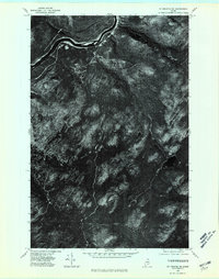 1975 St Francis SW1981 Print · USGSThe deep Maine woods of Aroostook County appear in high-resolution aerial detail during the mid-seventies, showing a landscape shaped by the timber industry. Researchers can trace remote logging roads and waterways like Negro Brook and Jones Mill.
 - 1975 Map of St Francis SE, 1981 Print
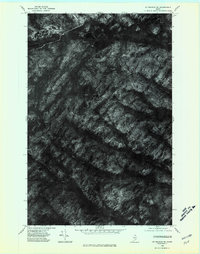 1975 St Francis SE1981 Print · USGSNorthern Maine's timberlands and remote lakes are captured through aerial photography in the mid-seventies. Researchers can observe the unmodified terrain around Wallagrass Mtn and the shorelines of Mc Lean Lake and Third Lake.
 - 1975 Map of Fish River Lake NE, 1981 Print
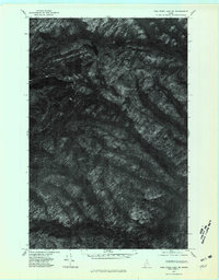 1975 Fish River Lake NE1981 Print · USGSNorthern Maine forestlands are captured in high detail in the mid-1970s, showcasing the remote wilderness of Aroostook County. Researchers can trace the drainages of Red River and Rocky Brook or locate high-elevation water bodies like Deboullie Pond.
 - 1975 Map of Fish River Lake NW, 1981 Print
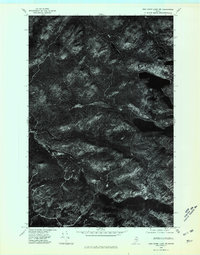 1975 Fish River Lake NW1981 Print · USGSThe North Maine Woods are captured in this mid-1970s aerial survey, showing the wilderness surrounding Deboullie Mountain. Researchers can trace the timbered ridges and secluded shores of Fish River Lake and Mud Pond.
 - 1985 Map of Mc Lean Mtn, 1986 Print
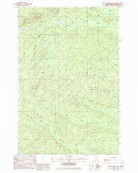 1985 Mc Lean Mtn1986 Print · USGSThe northern Maine woods of the mid-1980s appear here as a complex network of timber roads and mountain watersheds. Outdoor enthusiasts and local historians can trace the headwaters of the North Branch Birch River or locate remote landmarks like McLean Lake and Horseshoe Pond.
 - 1985 Map of Deboullie Pond, 1986 Print
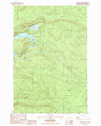 1985 Deboullie Pond1986 Print · USGSThe northern Maine woods come into focus in the mid-1980s, showcasing a landscape of high-elevation ponds and sporting camps. Trace the locations of Red River Camps, the Lookout Tower on Black Mountain, and remote waters like Deboullie Pond.
 - 1985 Map of Pelletier Brook Lakes, 1986 Print
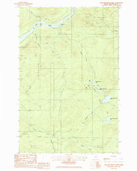 1985 Pelletier Brook Lakes1986 Print · USGSThe St John River valley and the Pelletier Brook drainage are captured in the mid-1980s during a period of active timber management. Researchers can trace remote landmarks like Cross Rock, the river Ford, and the series of Pelletier Brook Lakes.
 - 1985 Map of Gardner Pond, 1986 Print
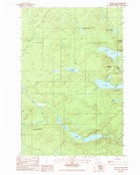 1985 Gardner Pond1986 Print · USGSUpper Aroostook County’s timberlands and lake chains are captured here in the mid-eighties, revealing a remote wilderness accessible only by private roads. Trace the primitive campsites and waters surrounding Gardner Mountain, Deboullie Pond, and Togue Pond.
 - 1994 Map of Presque Isle
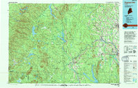 1994 Presque Isle1994 Print · USGSAroostook County in the mid-nineties shows a landscape defined by timber, rail, and river-valley farming. Genealogists and historians can trace the Bangor & Aroostook RR through small stations and settlements like Winterville Sta, Buffalo, and Sheridan.
 - 1994 Map of Madawaska
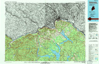 1994 Madawaska1994 Print · USGSThe St John Valley in the 1990s remained a unique cultural crossroads of Maine and New Brunswick, centered on the river and the rails. Genealogists and historians can trace family-named settlements like Violette Settlement or explore the shores of Eagle Lake and Long Lake.
 - 2011 Map of McLean Mountain, 2011 Print
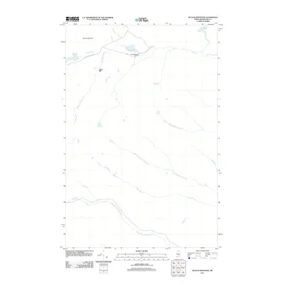 2011 McLean Mountain2011 Print · USGSAroostook County's northern woods and waterways are captured in detail here during the early twenty-first century. Researchers can trace the timber and water history of the region through landmarks like Jones Mill, the Third Wallagrass Lake Dam, and McLean Mountain.
 - 2011 Map of Pelletier Brook Lakes, 2011 Print
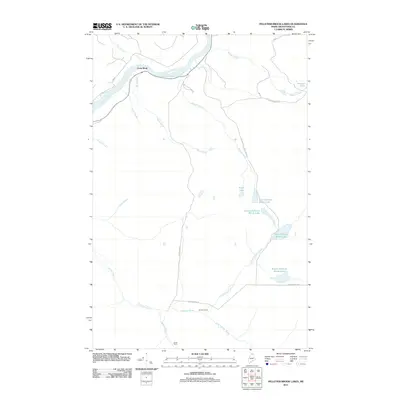 2011 Pelletier Brook Lakes2011 Print · USGSAroostook County's deep timberlands are documented here at the start of the 2010s, centered on the chain of lakes feeding the Saint John River. Researchers can locate remote northern outposts like Saucier Camp and Jones Camp, or trace the winding course of the Pelletier Brook and Wyles Brook.
 - 2011 Map of Deboullie Pond, 2011 Print
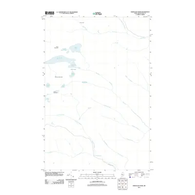 2011 Deboullie Pond2011 Print · USGSAroostook County's deep woods and glacial ponds are captured here in the early twenty-first century. Researchers can trace the layout of Michauds Mill, explore the waters of Deboullie Pond, and locate seasonal sites like Red River Camps.
 - 2011 Map of Gardner Pond, 2011 Print
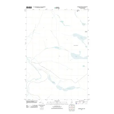 2011 Gardner Pond2011 Print · USGSNorthern Maine's remote timberlands and glacial lakes are captured here during the early 2000s. Researchers can trace historic access routes like St Francis Rd and locate landmarks such as Wheelock Mill and Gardner Pond.
 - 2014 Map of McLean Mountain, 2014 Print
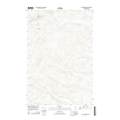 2014 McLean Mountain2014 Print · USGSNorthern Maine's timberlands are mapped here in the early twenty-first century, centered on the high peaks of Aroostook County. Researchers can trace the drainage of Wallagrass Stream and locate the small settlement at Jones Mill near McLean Lake.
 - 2014 Map of Pelletier Brook Lakes, 2014 Print
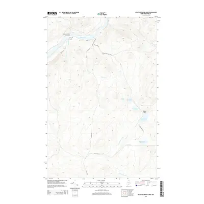 2014 Pelletier Brook Lakes2014 Print · USGSAroostook County's timberlands and river corridors are shown here during the early twenty-first century, just as the landscape remained defined by remote lakes and logging roads. Researchers can locate landmarks like Jones Mill, the Cross Rock Rapids, and the chain of Pelletier Brook Lakes.
 - 2014 Map of Gardner Pond, 2014 Print
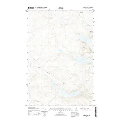 2014 Gardner Pond2014 Print · USGSUpper Aroostook County's timberlands are shown in detail during the early twenty-first century, centering on the high peaks and glacial ponds of the North Maine Woods. Trace the logging roads and historic sites like Wheelock Mill or landmarks such as Deboullie Mtn and Gardner Pond.
Showing maps 1-25 of 38
Top cities near T15 R9 WELS
- Eagle Lake historical maps
- Wallagrass historical maps
- Saint Francis historical maps
- Saint John Plantation historical maps
- Allagash historical maps
- Winterville Plantation historical maps
Top neighborhoods of T15 R9 WELS
Frequently asked questions
- What are the different types of historical maps available for T15 R9 WELS?
- What is the oldest map of T15 R9 WELS?
- Where can I purchase historical maps of T15 R9 WELS for my home or office?
- Where can I download high-res historical maps of T15 R9 WELS?
- Are there historical topographic maps available for T15 R9 WELS?
- Is there historical aerial imagery available for T15 R9 WELS?
- Where are historical maps of T15 R9 WELS sourced from?