Old Maps of TA R2 WELS, Maine for Metal Detecting
Plan your next treasure hunt with 27 historic maps of TA R2 WELS. Find old homesites, ghost towns, trails, and gathering spots that may be lost to time — perfect for identifying promising metal detecting locations.
- Locate forgotten sites: Uncover places like long-lost settlements, abandoned rail lines, or gathering spots.
- Plan better hunts: Use map overlays combined with LiDAR or satellite views to narrow in on historically rich areas.
- Made for detectorists: Thousands of hobbyists use these maps to discover relics, coins, and hidden history.
Use these historic maps to boost your research and find new opportunities beneath the surface of TA R2 WELS.
TA R2 WELS, ME maps
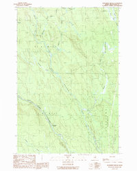
(27)- 1940 Map of Amity
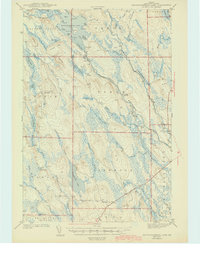
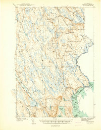 1940 Amity1940 Print · USGSAroostook County was a landscape of remote border settlements and logging streams just before the Second World War. Researchers can trace family-named sites like Wilcox Settlement, find rural schoolhouses such as Estabrook Sch, and locate the Wilcox Cem near the Canadian line.
 - 1941 Map of Amity
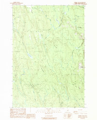
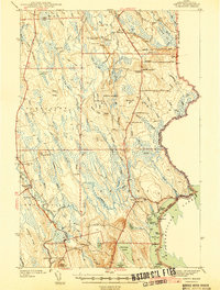 1941 Amity1941 Print · USGSAroostook County's borderlands are captured here just before the mid-century, detailing the rural life of eastern Maine along the New Brunswick line. Researchers can locate vanished schoolhouses like Estabrook Sch and family landmarks such as Wilcox Settlement or the Ferry Bridge.2 unique versions available
 - 1941 Map of Mattawamkeag Lake, 1958 Print
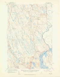
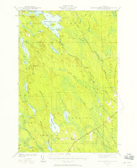 1941 Mattawamkeag Lake1958 Print · USGSThis Maine interior was a landscape of timber and water during the 1940s, centered on the expansive Mattawamkeag Lake. Researchers can trace the rugged network of ridges and river camps, from the Otter Lake Firetower to the community at Glenwood.4 unique versions available
 - 1943 Map of Amity
 1943 Amity1943 Print · USGSSouthern Aroostook County and the Canadian borderlands are captured here just before the mid-century, defined by small settlements and family-named ridges. Researchers can locate rural schools like Estabrook Sch, early burial grounds at Wilcox Cem, and the river crossing at Ferry Bridge.3 unique versions available
 - 1943 Map of Mattawamkeag Lake
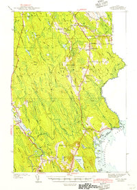
 1943 Mattawamkeag Lake1943 Print · USGSSouthern Aroostook County is shown during the early 1940s, a period when the timber and river economies defined these remote townships. Researchers can locate early infrastructure and family landmarks, from the Otter Lake Firetower to the small cemetery at Glenwood and the isolated City Camp Landing.
 - 1954 Map of Millinocket, 1968 Print
 1954 Millinocket1968 Print · USGSMaine's North Woods and the Penobscot Valley are captured here during the mid-century era of logging and rail dominance. You can trace the path of the Bangor and Aroostook Railroad through timber towns like Millinocket, Mattawamkeag, and Silver Ridge.3 unique versions available
 - 1957 Map of Fredericton, 1981 Print
 1957 Fredericton1981 Print · USGSThe New Brunswick and Maine borderlands come into focus in the mid-fifties, dominated by the Saint John River and massive military tracts. Genealogists can locate riverfront hamlets like Maugerville or inland sites like Scotch Settlement along the Canadian Pacific rail line.
 - 1958 Map of Millinocket
 1958 Millinocket1958 Print · USGSMaine's North Woods and the Penobscot river valley are captured here in the mid-1950s, showing a landscape of timber, rail, and wild waters. Researchers can trace the legacy of the Canadian Pacific railroad and find historic settlements like Millinocket, Sherman Station, and Mattawamkeag.
 - 1958 Map of Amity, 1960 Print
 1958 Amity1960 Print · USGSIn the late 1950s, this portion of eastern Maine was a landscape of remote settlements and international border crossings. Genealogists can locate family landmarks like Wilcox Settlement, the Grange Hall, and several country schoolhouses including Elliot Sch.3 unique versions available
 - 1960 Map of Millinocket
 1960 Millinocket1960 Print · USGSThe Maine North Woods and Penobscot River valley are captured at mid-century during the height of the paper milling era. Researchers can trace the Appalachian Trail near Mount Katardin or locate family roots in towns like Dover-Foxcroft and Milo.3 unique versions available
 - 1963 Map of Fredericton
 1963 Fredericton1963 Print · USGSThe Saint John River valley and the Maine-New Brunswick border are captured here during the early sixties. Researchers can trace the Canadian Pacific rail lines through rural settlements like Jewetts Mills, Mckeens Corner, and Scotch Settlement.
 - 1975 Map of Amity NW, 1980 Print
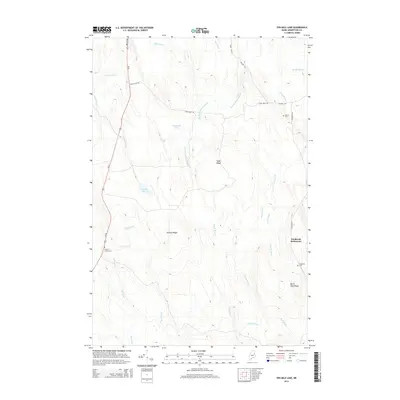
 1975 Amity NW1980 Print · USGSAroostook County's deep timberlands are captured in this mid-seventies aerial survey, showing the isolated pockets of Maine's backwoods life. Researchers can trace rural property lines and clearings at Wilcox Settlement and Estabrook Settlement or locate Elevenmile Lake.
 - 1975 Map of Mattawamkeag Lake NE, 1980 Print
 1975 Mattawamkeag Lake NE1980 Print · USGSCovers TA R2 WELS, including Linneus, Forkstown Township, and other nearby areas
 - 1985 Map of Millinocket, 1986 Print
 1985 Millinocket1986 Print · USGSThe North Maine Woods were a landscape of industrial timber and wilderness recreation in the mid-eighties. Genealogists and researchers can trace local settlements and rail stops like Sherman Mills, Wytopitlock, and the Old Long A Siding near the Penobscot River.2 unique versions available
 - 1989 Map of Monument Brook
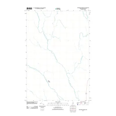
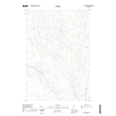
 1989 Monument Brook1989 Print · USGSAroostook County's deep woods are documented here in the late eighties, showing the convergence of the Mattawamkeag River branches. Local historians can trace the remote City Camp Landing and the boundaries of the Bragg Tract.
 - 1989 Map of Tenmile Lake
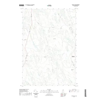
 1989 Tenmile Lake1989 Print · USGSAroostook County was a landscape of remote settlements and complex wetlands in the late eighties. Genealogists and historians can trace family locations at Wilcox Settlement and Estabrook Settlement or explore the bogs surrounding Tenmile Lake.
 - 1994 Map of Danforth
 1994 Danforth1994 Print · USGSThe Maine-New Brunswick borderlands come into focus in the 1990s, where the international line traces the St Croix River. Researchers can map the historic Wilcox Settlement, the rail corridor of the Canadian Pacific, and the waterfronts of Spednic Lake.
 - 2011 Map of Ten Mile Lake, 2011 Print
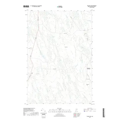
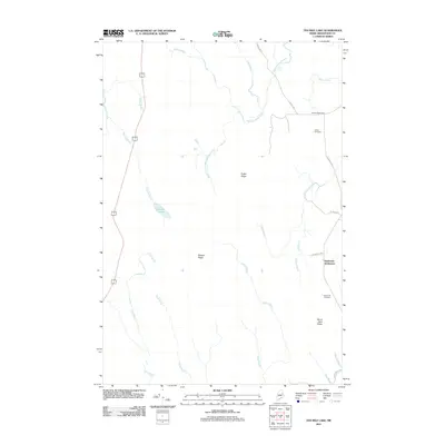 2011 Ten Mile Lake2011 Print · USGSCovers TA R2 WELS, including Linneus, Amity, and other nearby areas
 - 2011 Map of Monument Brook, 2011 Print
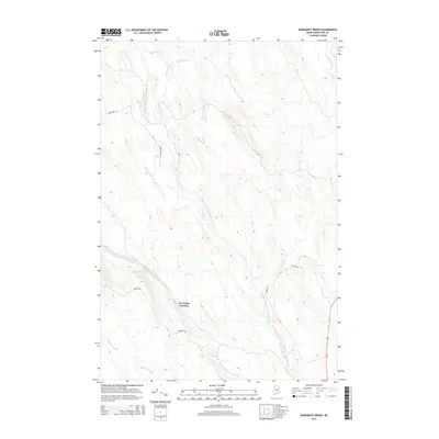
 2011 Monument Brook2011 Print · USGSCovers TA R2 WELS, including Linneus, Bragg Tract, and other nearby areas
 - 2014 Map of Ten Mile Lake, 2014 Print
 2014 Ten Mile Lake2014 Print · USGSCovers TA R2 WELS, including Linneus, Amity, and other nearby areas
 - 2014 Map of Monument Brook, 2014 Print
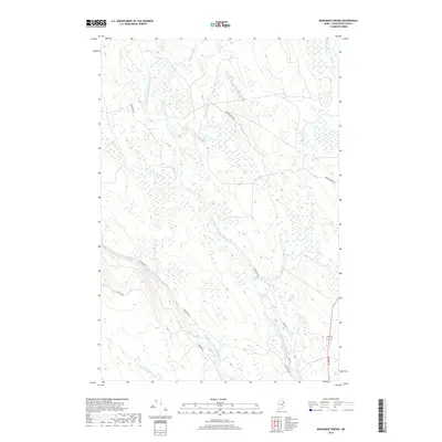
 2014 Monument Brook2014 Print · USGSCovers TA R2 WELS, including Linneus, Bragg Tract, and other nearby areas
 - 2018 Map of Monument Brook, 2018 Print
 2018 Monument Brook2018 Print · USGSCovers TA R2 WELS, including Linneus, Bragg Tract, and other nearby areas
 - 2018 Map of Ten Mile Lake, 2018 Print
 2018 Ten Mile Lake2018 Print · USGSCovers TA R2 WELS, including Linneus, Amity, and other nearby areas
 - 2021 Map of Ten Mile Lake, 2021 Print
 2021 Ten Mile Lake2021 Print · USGSCovers TA R2 WELS, including Linneus, Amity, and other nearby areas
 - 2021 Map of Monument Brook, 2021 Print
 2021 Monument Brook2021 Print · USGSCovers TA R2 WELS, including Linneus, Bragg Tract, and other nearby areas
Showing maps 1-25 of 27
Top cities near TA R2 WELS
- Houlton historical maps
- Hodgdon historical maps
- Littleton historical maps
- Linneus historical maps
- Island Falls historical maps
- Oakfield historical maps
See more
Frequently asked questions
- What are the different types of historical maps available for TA R2 WELS?
- What is the oldest map of TA R2 WELS?
- Where can I purchase historical maps of TA R2 WELS for my home or office?
- Where can I download high-res historical maps of TA R2 WELS?
- Are there historical topographic maps available for TA R2 WELS?
- Is there historical aerial imagery available for TA R2 WELS?
- Where are historical maps of TA R2 WELS sourced from?